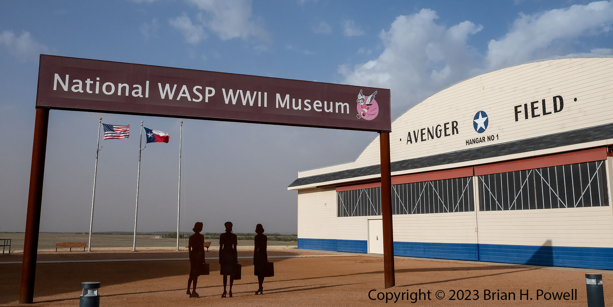
National WASP WWII Museum
From Carlsbad, I drove east several hours to the National WASP WWII Museum in Sweetwater, Texas. This museum tells the story of the Women Airforce Service Pilot (WASP) program. In 1943 during World War II, the US Army took over Sweetwater Municipal Airport and made it the largest all-female training facility for pilots.
The women served a crucial homefront role, including the ferrying of aircraft, towing of gunnery targets, and transporting materiel.
The museum opened in 2005 and was expanded in 2021. I highly recommend a visit, even if it’s a bit out of your way.
Click any image to enlarge.
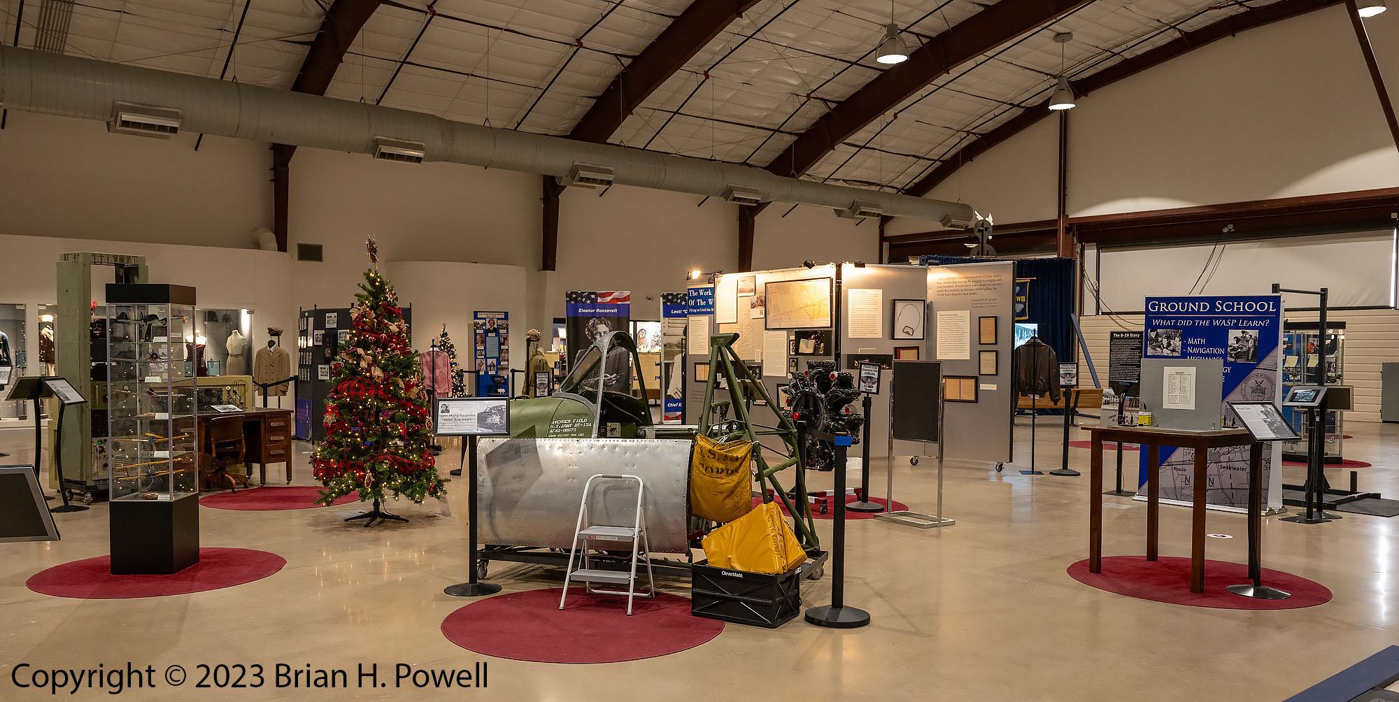
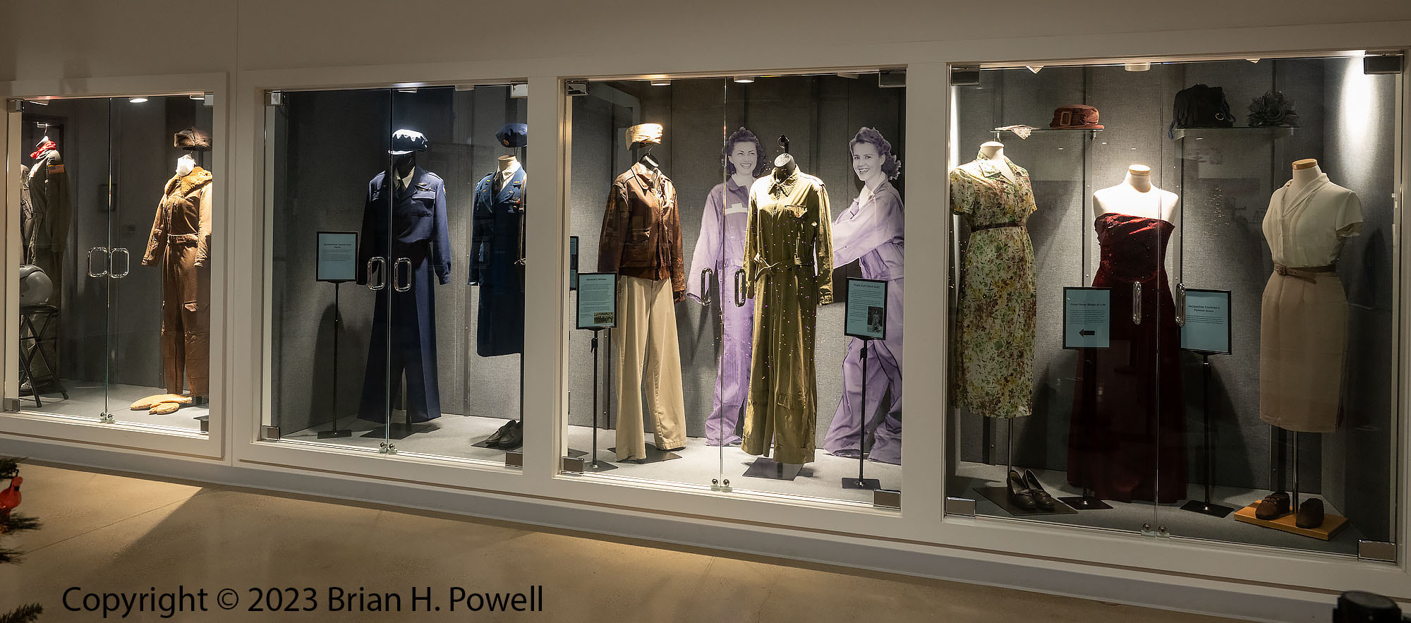
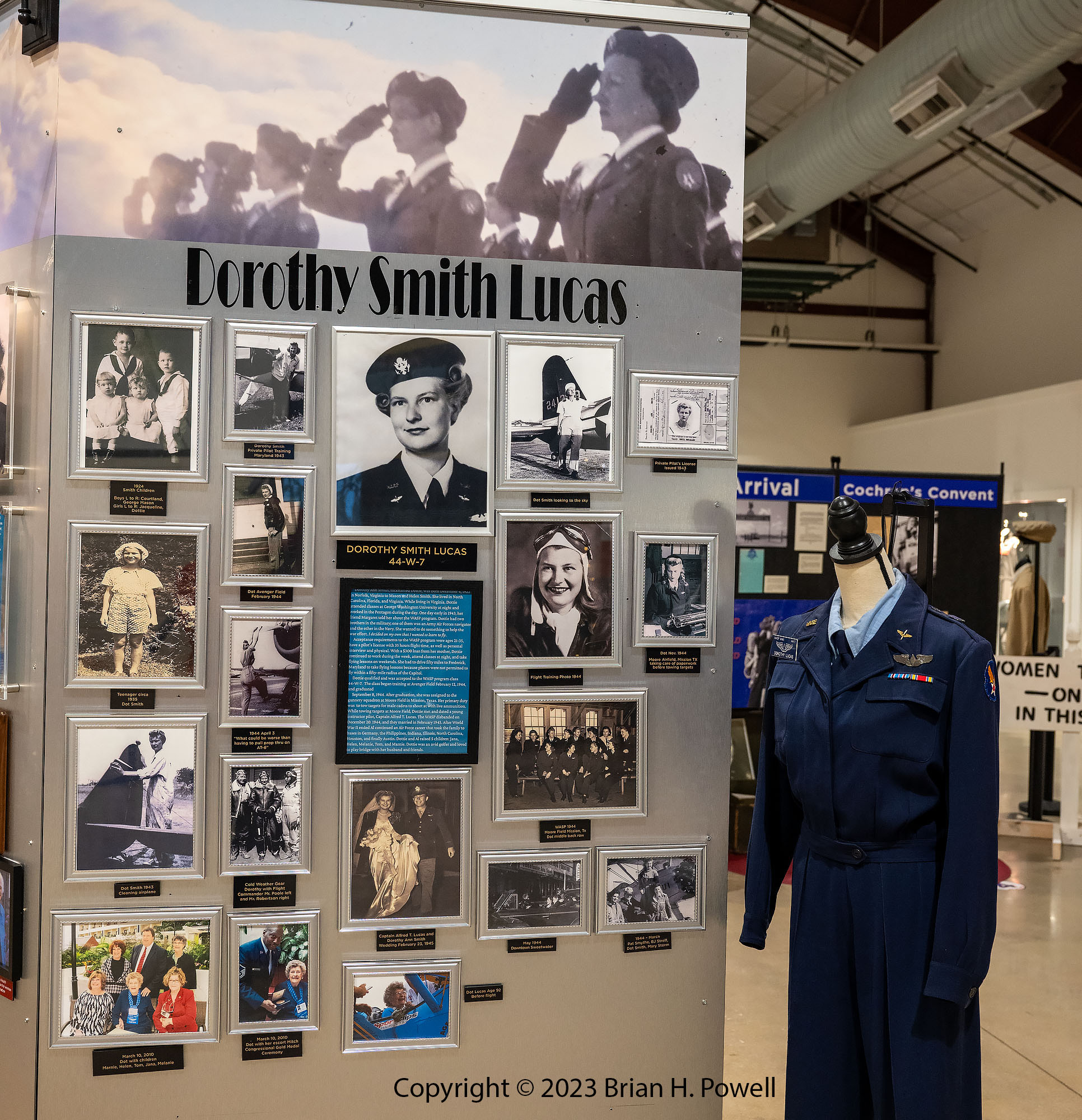
There are two hangars. The first contains several displays with information about the WASP program and a lot of personal memorabilia from women who served. A few years ago, I heard Dorothy Lucas (mother of a friend of mine) tell her story before she passed away in 2022 at the age of 99.
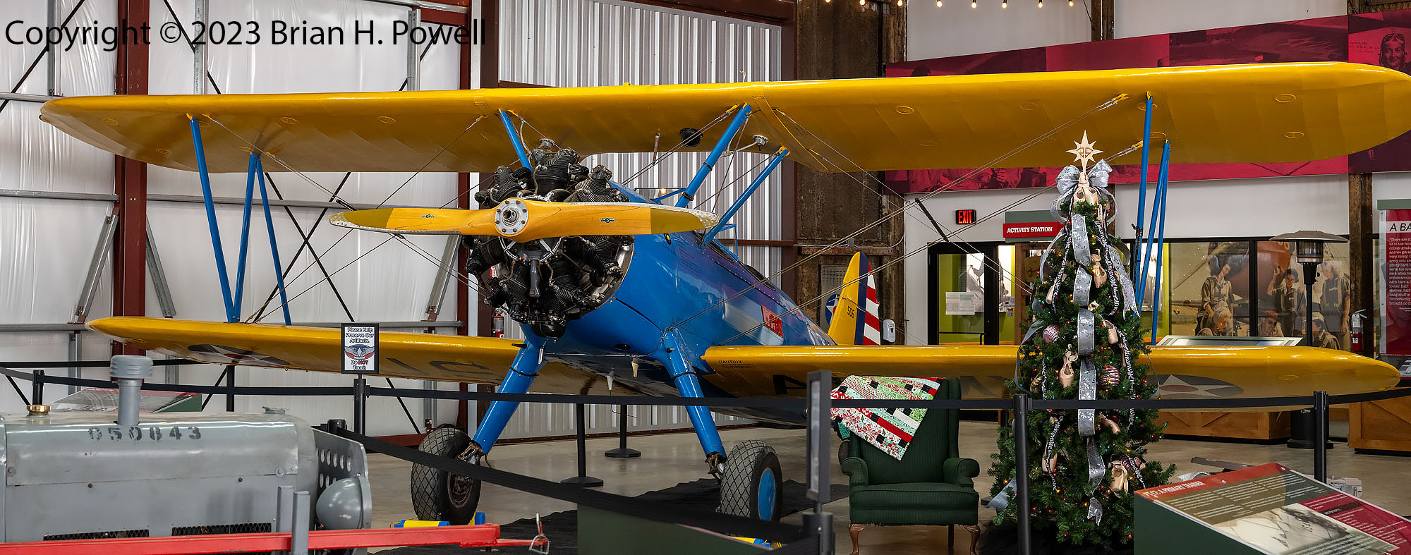
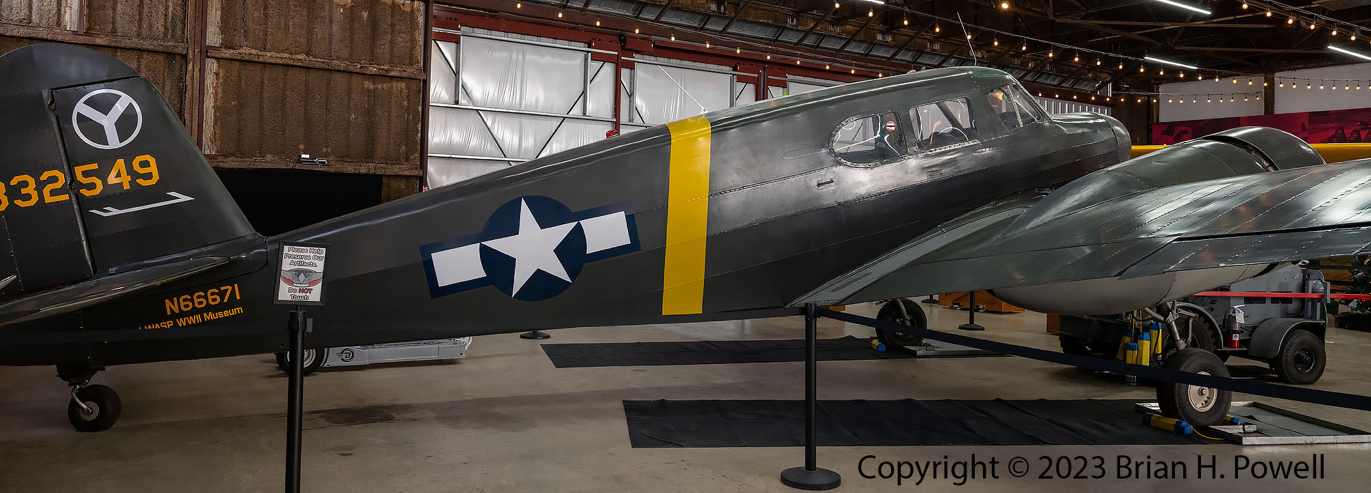
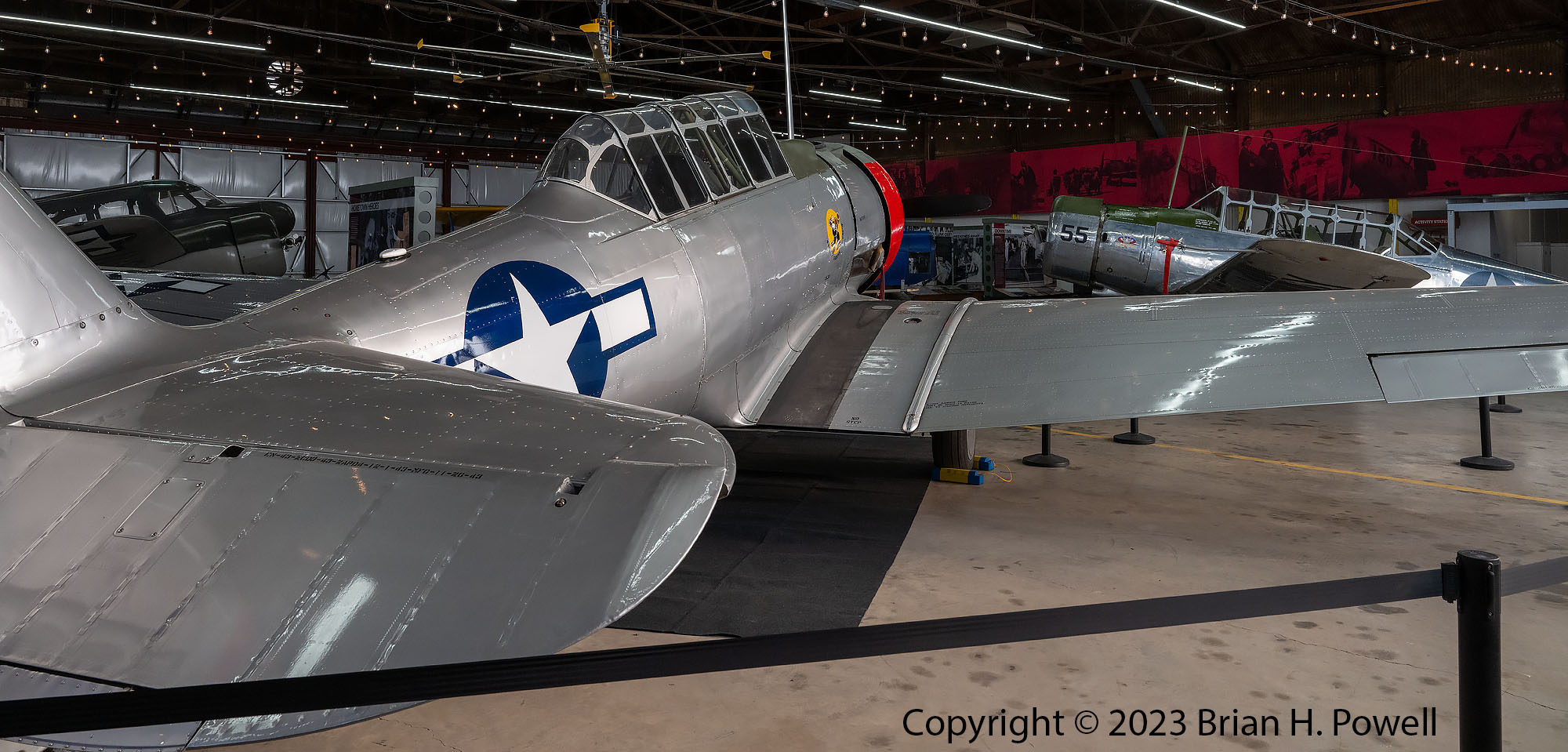
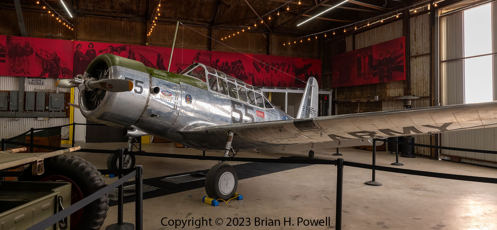
The second hangar contains four airworthy planes that represent the types of planes the WASP trained on during the war. This hangar also contains information about the everyday life as a WASP.
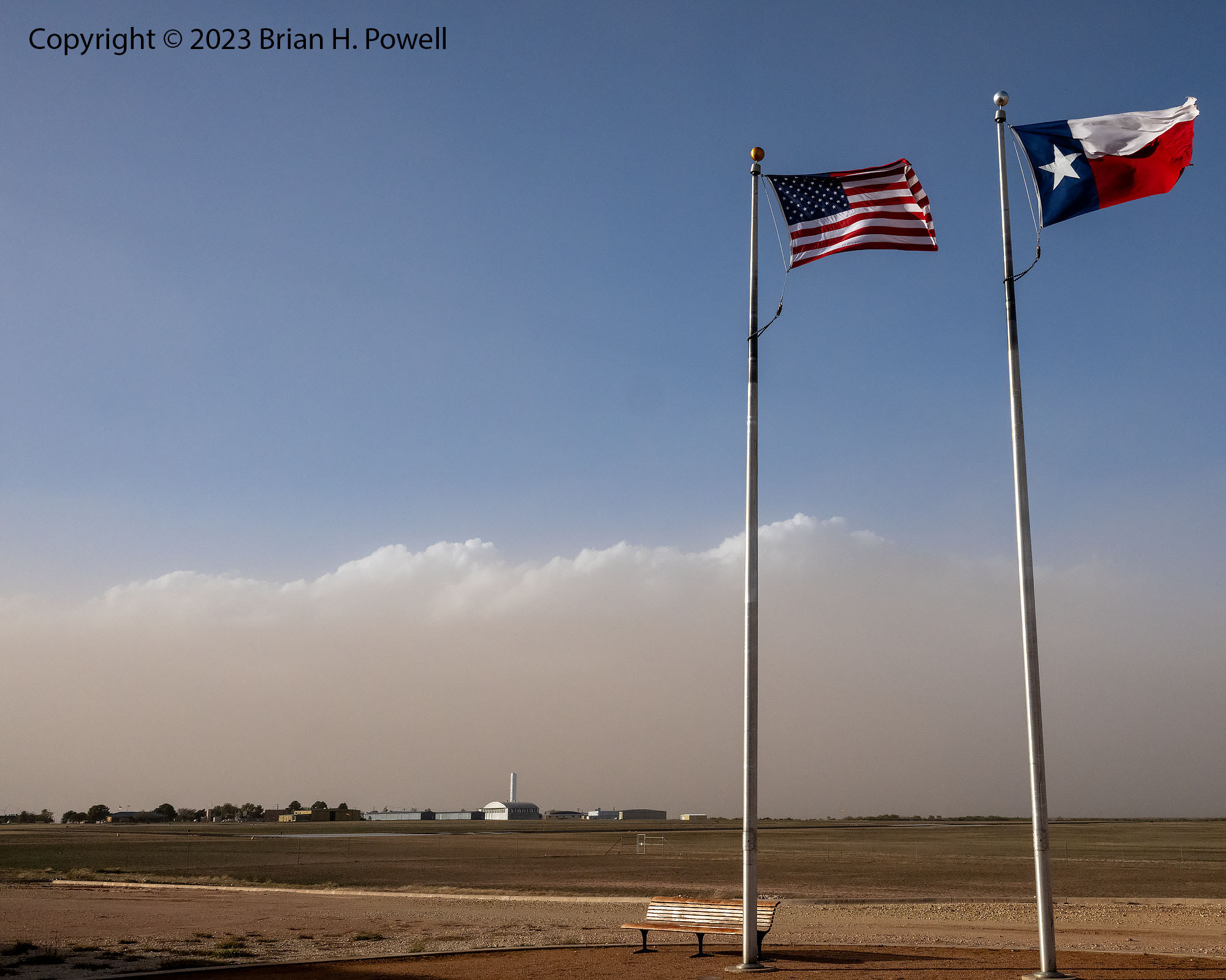
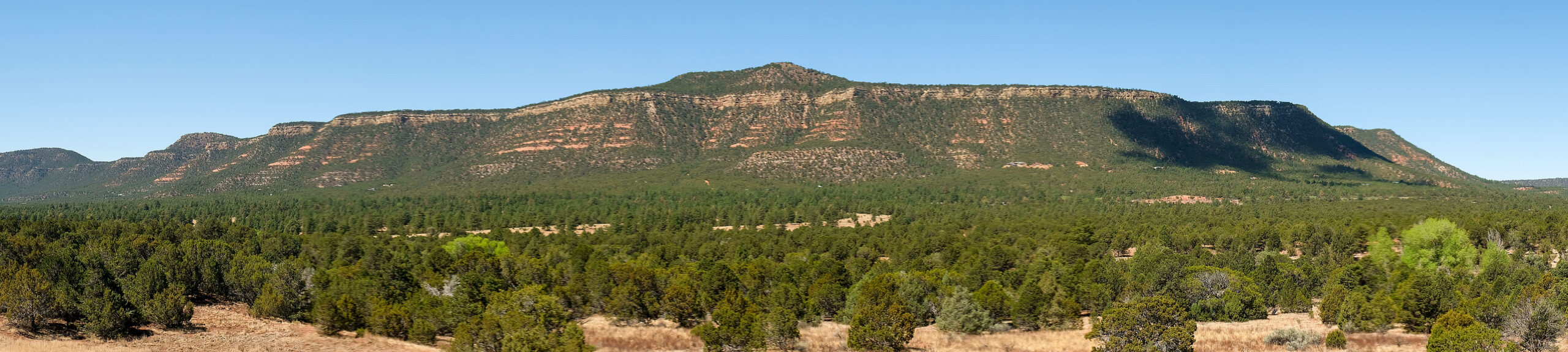
Ah yes, the photo below reminds me that I had a 30 mph tailwind on my drive from Carlsbad. I drove through some small dust storms, and had to dodge hundreds of tumbleweeds along the highway. (I couldn’t avoid them all!)
The photo below shows the airport with the general aviation facilities in the distance. A west Texas storm is on its way.