Skip to content

Posts tagged ‘Oregon’

Portland Wine and Waterfalls, Part 2 (Tillamook and Portland)

Only one day of my trip was devoted to wine. On the other days, sprinkled in among lunches and dinners with friends, I explored. I revisited several waterfalls in the Columbia River Gorge, which I’ll cover in Part 3.

One afternoon, I drove out to Tillamook, near the Pacific coast. I had been through there years ago, but hadn’t stopped.

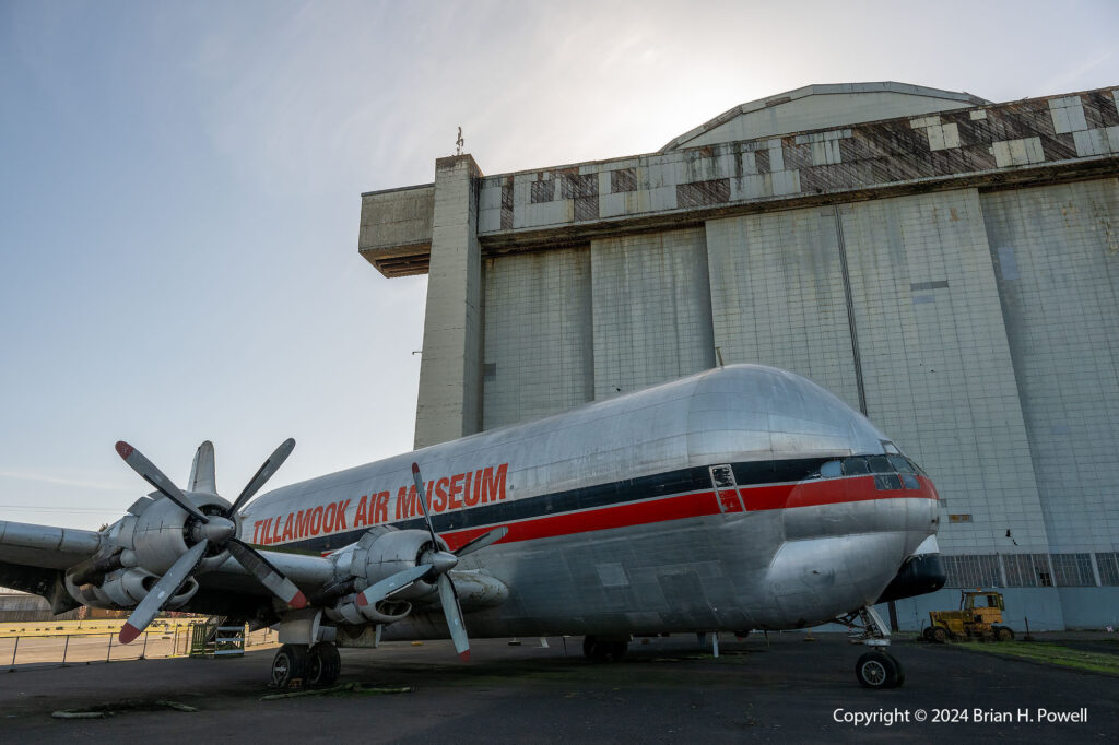
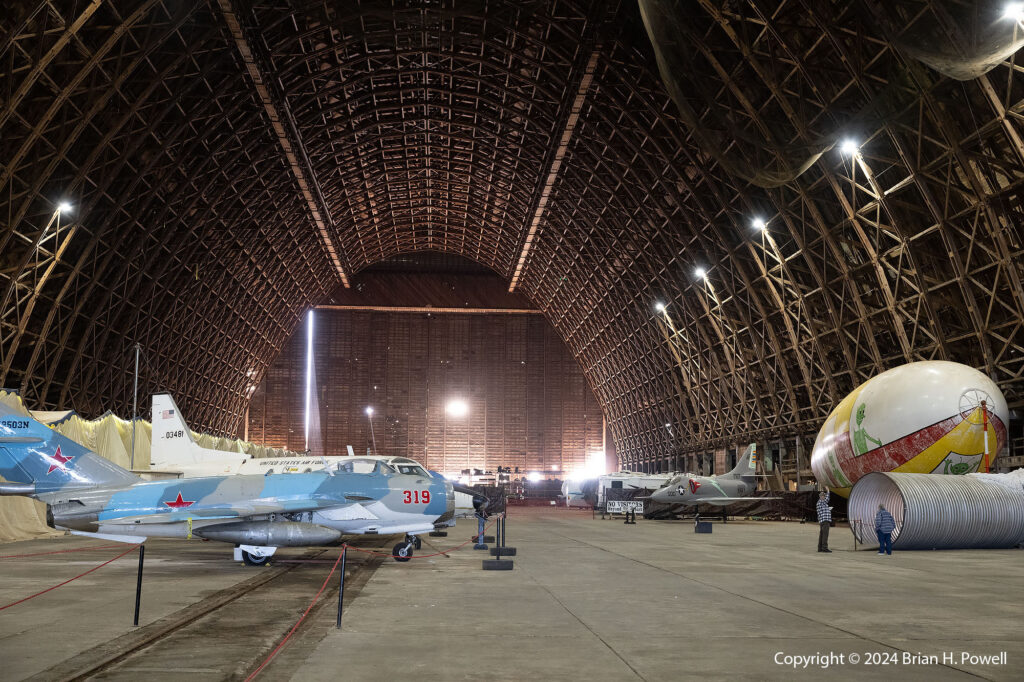
There were two attractions I was most interested in visiting. First was the Tillamook Air Museum, housed in a large WWII-era blimp hanger. Its collection of planes and other memorabilia is somewhat limited and quite eclectic. I hope on my next visit to Portland that I’ll also be able to visit the Evergreen Aviation and Space Museum in McMinnville.

Click on any image to enlarge.

Tillamook Air Museum

For me, the historic hangar was a big part of the draw. Two hangars were built at Tillamook; one was destroyed by fire in 1992. Each hangar housed several blimps used for coastal anti-submarine patrol and convoy escort during the second world war. The Tillamook Naval Air Station (NAS) was one of ten bases built for lighter-than-air ships in the war for coastal defense. Two more on the west coast are Moffett Field in Sunnyvale, California, and NAS Santa Ana in Tustin, California. Two were on the Gulf Coast, near Galveston and Houma. The rest were on the Atlantic Coast. Most have been destroyed through the years. The hangar in Tillamook is the only one open to the public.

Tillamook Air Museum

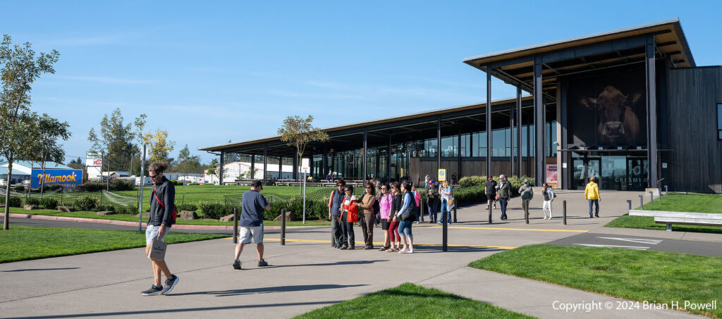
After visiting the air museum, I had time to drive into town and visit the Tillamook Creamery.

Tillamook Creamery
Tillamook Creamery

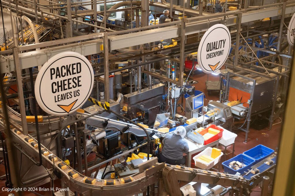
The cheese and ice cream were delicious, and I took a short self-guided tour.

Tillamook Creamery Cheese Production

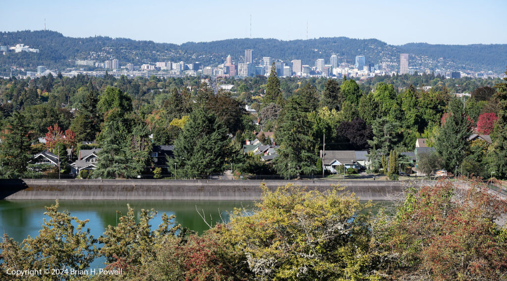
On another morning, I visited Mt. Tabor Park, a city park. On the site of a volcanic cinder cone, it contains several city water reservoirs, with miles of hiking trails throughout.

View of Portland downtown from Mt. Tabor

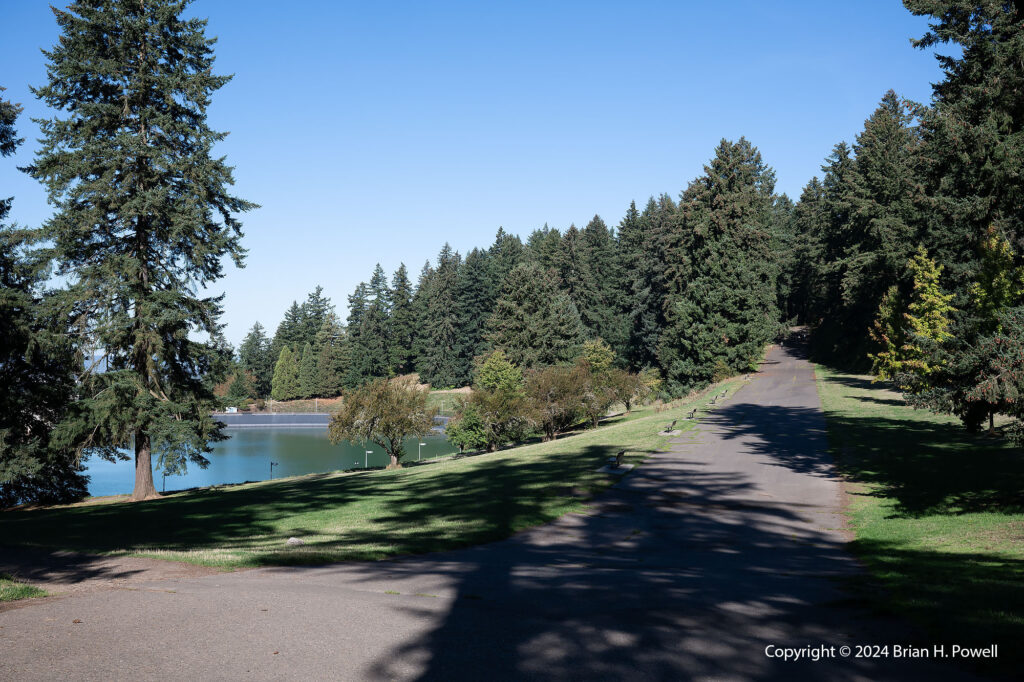
The paved road in the photo below is actually a soapbox derby track.

Mt. Tabor Park
Mt. Tabor Park

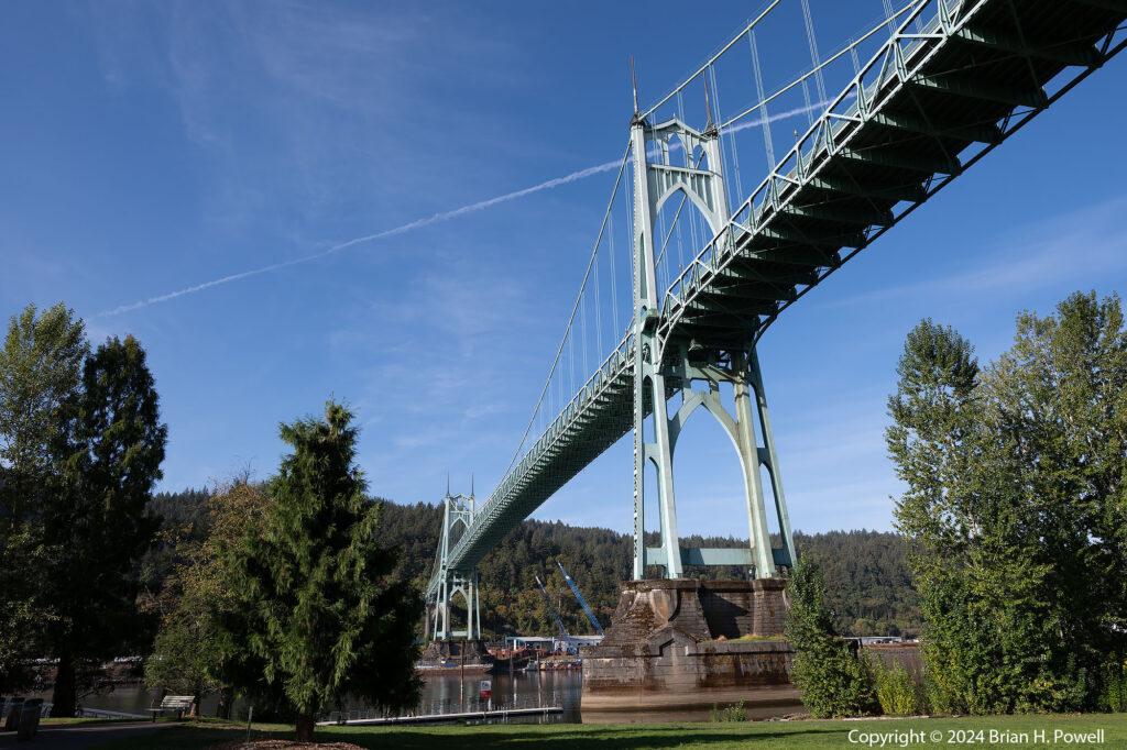
On a different morning, I visited the St. John’s Bridge, one of the more picturesque tall bridges over the Willamette River.

St. John's Bridge
St. John’s Bridge

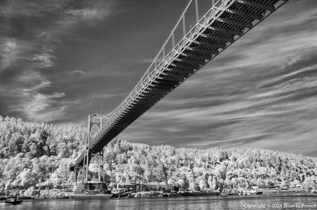
As I often do, I brought my infrared camera, a Nikon D300 converted to infrared by Life Pixel. (That’s an affiliate link, meaning I earn a credit at no additional cost to you if you buy something from them.)

Below is a similar view (closer to the water) in infrared.

St. John's Bridge
St. John’s Bridge

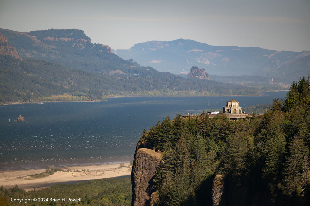
One of the most striking viewpoints of the Columbia Gorge is Vista House, an “observatory” built in 1918 on Crown Point along the Historic Columbia River Gorge Highway. I took the photo below from the Portland Women’s Forum State Scenic Viewpoint.

I tried to stop at Vista House itself but it was incredibly windy, so I just got back into the car and drove on. (Those are whitecaps on the Columbia River in the photo below.)

Vista House at Crown Point, overlooking the Columbia River Gorge

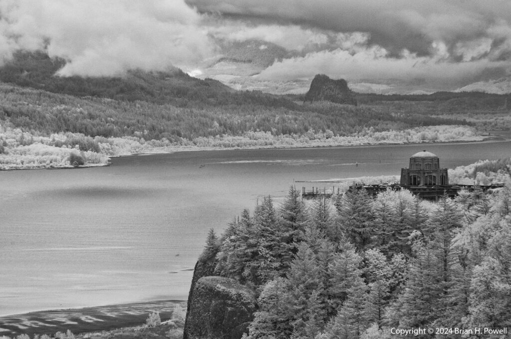
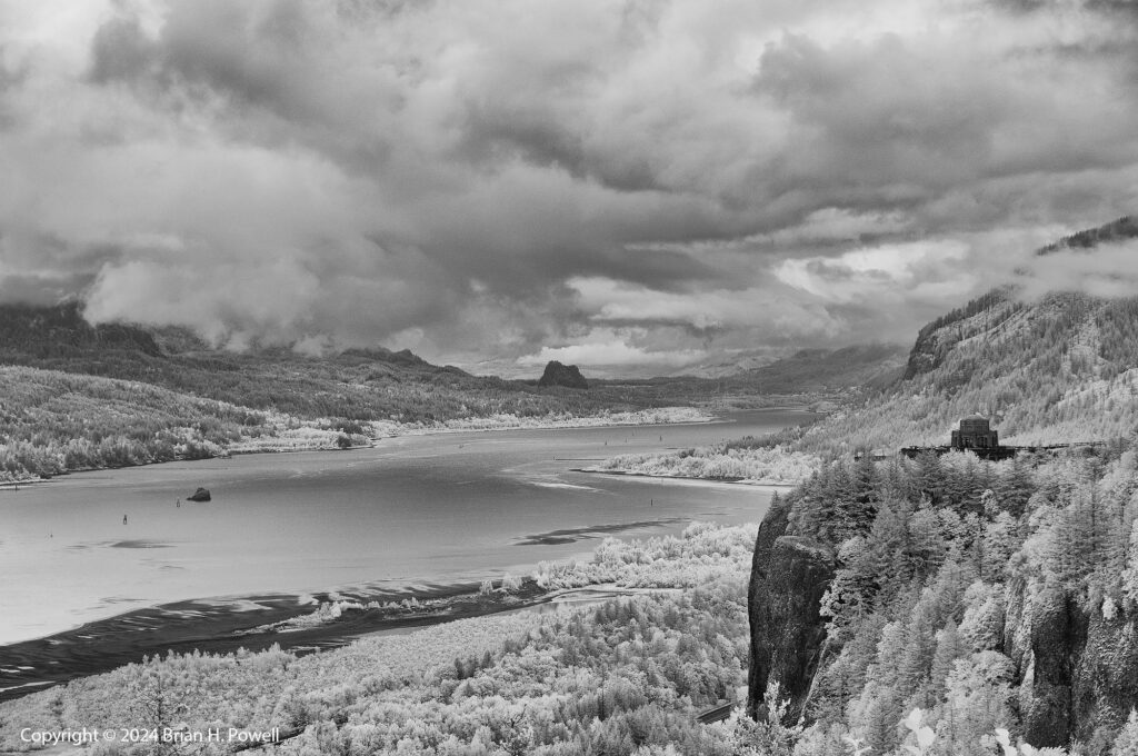
For most of the trip, the weather was gorgeous–sunny and mild. The only cloudy and rainy day was Friday, the last full day of my trip. I tried dodging the rain by driving east and south of Mt. Hood, but that didn’t work. I came back around to take some infrared photos of Vista House.

I love using my infrared camera in poor weather; it can really bring out the moody intensity of the clouds. (Click on the Infrared tag on the upper right for more examples.)

Vista House at Crown Point, overlooking the Columbia River Gorge

The rain cleared after a couple of hours and I visited several waterfalls in the gorge, coming up in part 3.

Portland Wine and Waterfalls, Part 1 (Wine)

A couple of weeks ago, I went to Portland, Oregon, to visit friends. It had been over ten years ago that I last visited, but I’ve had several friends move there and it seemed like a good excuse to return for a visit. In addition to many lunches and dinners with friends (and an Austin FC match against the Portland Timbers, which Austin unexpectedly won), I spent some time visiting wineries and waterfalls.

Click on any image to enlarge.

This map of northwest Oregon shows the locations where I took photos on this trip.
The yellow boxes show where I took photos on this trip.

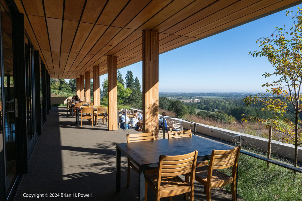
I didn’t know much about which wineries to visit (and there are hundreds to choose from). My friend Trish sent me a list of wineries and a list of wine tour companies. I decided to book a day with Tesla Custom Winery Tours. (The name comes from riding around in a Tesla to visit the wineries.) I spoke with the owner, Rodger, to select five interesting (and great) wineries to visit. I never would have found some of them on my own. On the drives between wineries, Rodger shared a wealth of knowledge about the Oregon wine industry. On the map above, the wineries were all about an hour southwest of Portland in the Willamette River Valley.

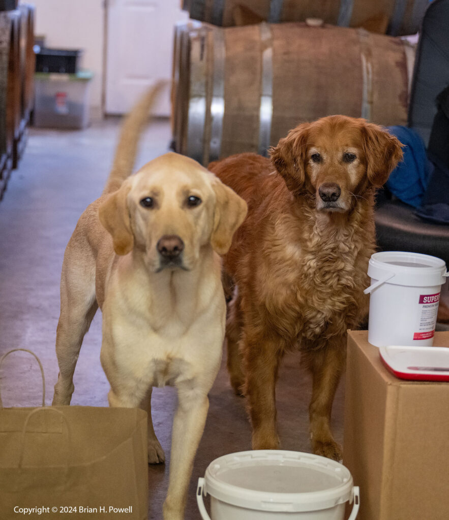
Our first stop was Natalie’s Estate Winery, where the wine dogs were happy to greet me. I met one of the owners–the other was hauling grapes from a vineyard near The Dalles. The Assistant Winemaker poured the tasting.

Click on any image to enlarge.

Winery dogs at Natalie's Estate Winery
Winery Dogs

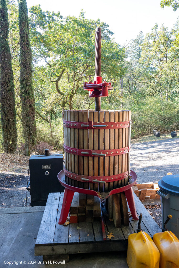
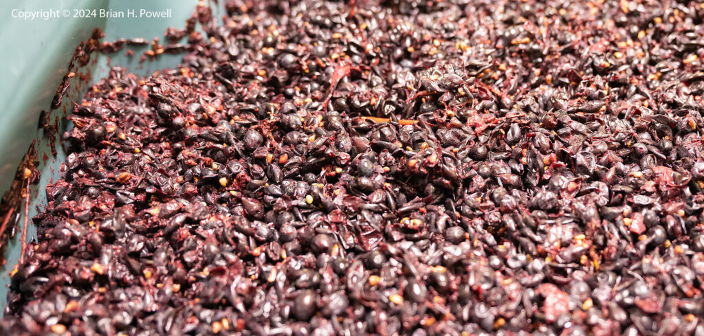
With the personalized experience, I got to taste fresh grape juice, see their manual wine press, and see grapes that had just been placed into fermenters. (I visited at the tail end of the harvest.)

Wine press at Natalie's Estate Winery
Wine Press
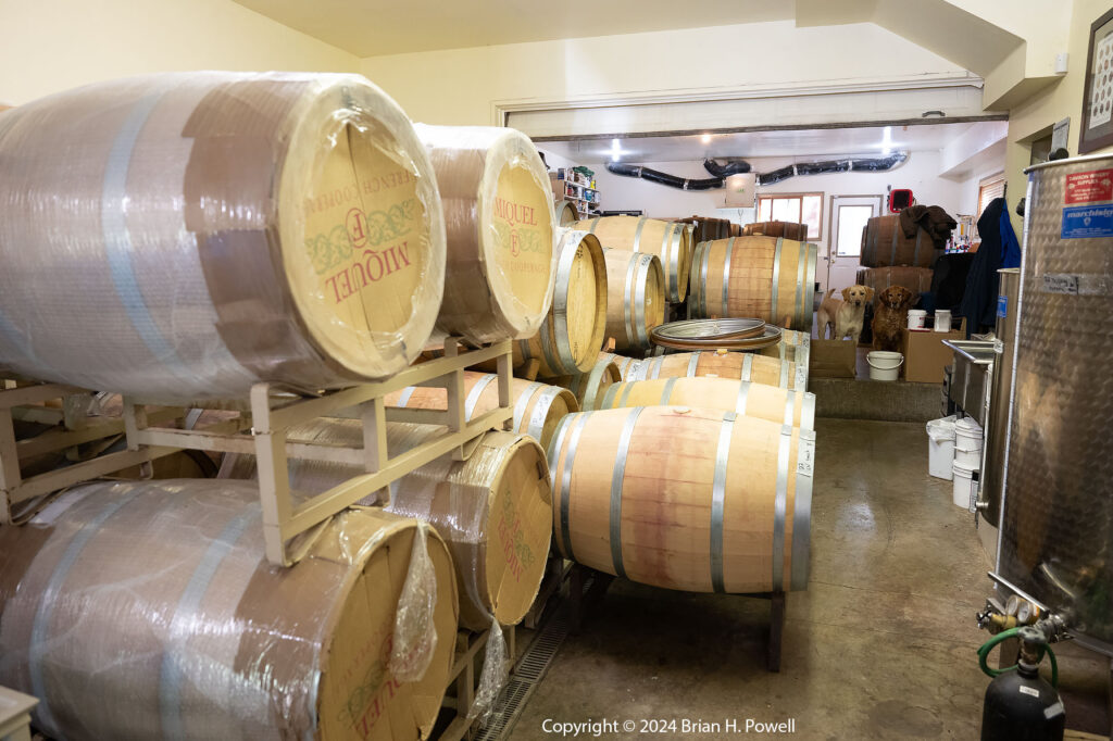
New French wine barrels at Natalie's Estate Winery
New French Wine Barrels (with Winery Dogs)
Grapes in a fermenter at Natalie's Estate Winery
Grapes in a Fermenter

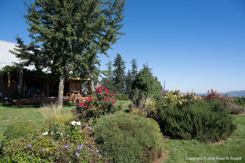
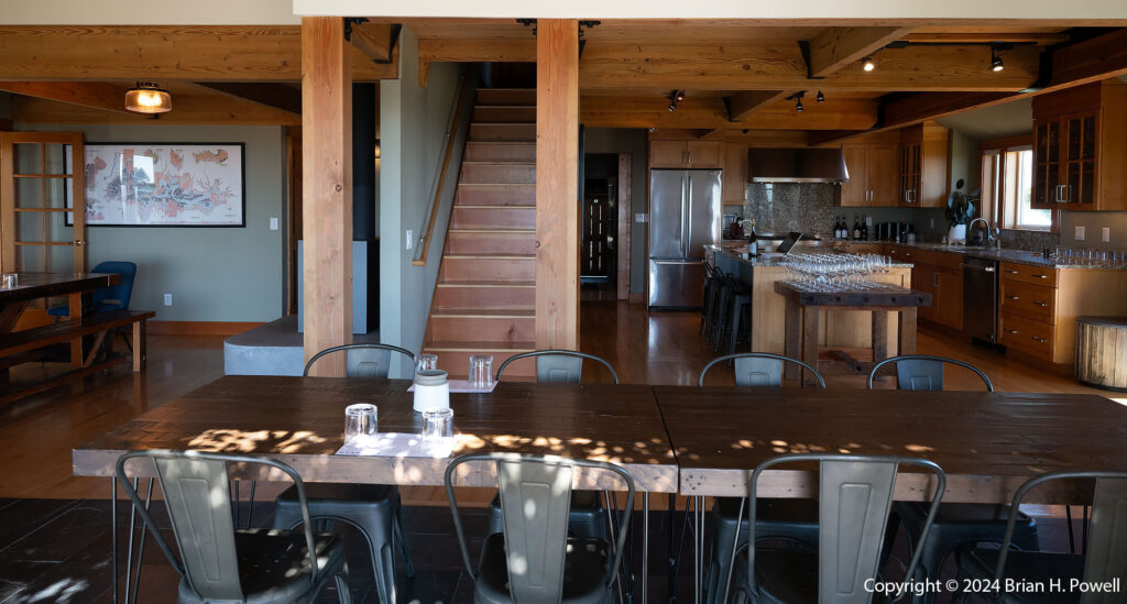
Another winery I visited was Granville Wine Company, another small winery with a beautiful hilltop location. One of the owners poured the wine. As you can see, the weather was fabulous for most of the week I was in Oregon.

Grounds of Granville Wine Co.
Granville Wine Tasting Room
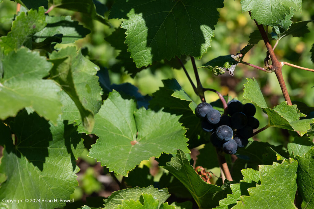
Wine grapes at Granville Wine Co.
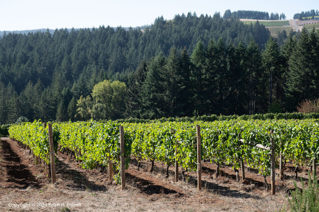
Vineyards at Granville Wine Co.

While three of the five wineries I visited were small, family-run producers (Natalie’s Estate, Granville, and Ayoub), I did visit a couple of larger wineries. Argyle Winery specializes in sparkling wines. They have a nice tasting house in Dundee.

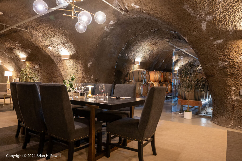
Another larger winery I visited was Archery Summit, which has several tasting location options such as a beautiful hilltop terrace or a wine cave. (I chose the cave.)

Tasting cave at Archery Summit Winery
Archery Summit Winery

The week wasn’t all about wine. More coming in parts 2 and 3.

Hells Canyon of the Snake River

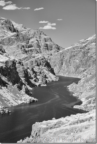
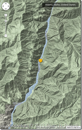
I am in Boise, Idaho, for a conference, and had a spare afternoon.  I drove up Hells Canyon, on the Oregon/Idaho border, and did some hiking just below Hells Canyon Dam.

Here’s an infrared photo, taken with my infrared Nikon D200, converted to infrared by Life Pixel. It’s interesting how the infrared highlights the different textures of the water.

20110811_infrared_0012

I took this photo just upriver of the Hells Canyon dam, looking downriver along the Hells Canyon Reservoir…

map

I’ll be back.  I’d like to take one of the boat tours that heads deeper into the canyon.

Summer Trip Epilogue

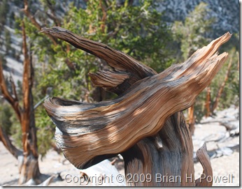
bristlecone_pineI’ve been back for a couple of weeks now from my trip to the Pacific Northwest. The return to my “normal” life was slow and arduous. I was so ready to turn around and escape again.

Don’t get me wrong; there’s a lot I like about my “normal” life. But there’s a lot I like about traveling and experiencing new places.

As I look back on the experience, the most meaningful parts of the trip were the beginning and end. I started my trip visiting my college friend Claire and her family. I ended my trip visiting my friend Tricia and her collection of Hood River friends.

Yosemite, the Eastern Sierra, and the Cascade Range are fabulous. But they don’t hold as much meaning to me as renewing and growing old friendships. So thank you, Claire and Trish, for being the bookends of a wonderful trip. I can’t wait to see you again.

I was inspired by the long hikes.

I was inspired by blue skies and mild temperatures.

I was inspired by the beauty of the nature around me.

I was inspired by the people I met along the journey.

I was inspired by the photos that came out of my cameras at the end of each day.

I was inspired by my friends around the world who followed me on this blog, on Facebook, and on Twitter.  I wish you could have come along.

Photographically, there were a few themes that really stand out about the trip…

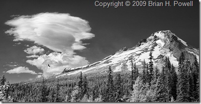
  1. Mount_HoodWith each use, I grow more and more excited about the images coming out of my infrared camera.  (I had my Nikon D200 converted to infrared by Life Pixel.)  I’m pleased to announced that I’ve started making prints for sale directly from my Zenfolio Landscapes Gallery, and the first three images are all infrared photos from this trip.  I’ll be expanding this gallery in the coming weeks and months.
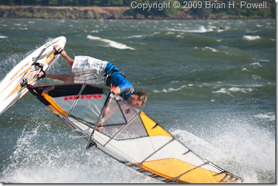
  2. windsurferI had a blast photographing the windsurfers on the Columbia River. It requires a lot of the same skills as bird photography. I flipped a few familiar settings on the camera, and I was ready to follow the action.
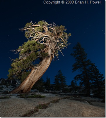
  3. Mikes_TreeI enjoyed learning about night photography from Michael Frye, Mike Osborne, and my fellow Ansel Adams Gallery workshop participants.

For those who care about equipment…

  • Nikon D200, converted to infrared by Life Pixel
  • Nikkor 18-200mm f/3.5-5.6 lens
  • Nikon D700
  • Nikkor 17-35mm f/2.8 lens
  • Nikkor 28-85mm f/3.5-4.5 lens
  • Nikkor 80-200mm f/2.8 lens
  • Canon Vixia HF S100 High-Definition Camcorder
  • Sandisk Extreme III and Lexar Professional CompactFlash cards, Delkin SDHC cards
  • Domke F-1X Camera Bag, my favorite camera bag ever
  • REI Lookout 40 Daypack
  • Gitzo G1027 Mark II Mountaineer Carbon Fiber tripod
  • Bogen/Manfrotto 3221W tripod
  • Really Right Stuff BH-40 Ballhead

And for those who care about numbers…

  • 688 photos with the D700
  • 516 infrared photos with the D200
  • 15 still photos with the Canon Vixia, and about 45 minutes of video

Yes, that’s right, I really took two tripods, three camera bodies, and four lenses with me. They all got used. (One tripod is lightweight and small for hiking.  The other is sturdy and great for night photography and windsurfing photography.)

Thanks for reading this blog. I can’t wait to take you along again. More to come soon.

Summer Trip Day Twelve, Newberry National Volcanic Monument and Mount Hood

Mount_Hood(Click to enlarge)

Friday was a long day of driving, across the state of Oregon from south to north.

I stopped near Bend to visit the Newberry National Volcanic Monument, which includes a caldera, lava flows, cinder cones, and other volcanic features. I hiked through the Lava River Cave, a mile-long lava tube.  The temperature inside is about 40 to 45 degrees.  You could rent lanterns, but I just used my headlamp.  Occasionally, when I was out of sight of other visitors, I’d switch off my headlamp to experience the cave in pitch black, listening to the drips of water.

I kept driving north to Mount Hood (shown above), including a stop at Timberline Lodge.

From there, I drove into Hood River and met up with my friend Tricia and several of her friends for drinks and dinner.

Summer Trip Day Eleven, Crater Lake National Park

Phantom_Ship_and_Cloud

I had planned to get up early (like about 2 or 3 AM) and drive to Crater Lake for some night and dawn photography.  I put out some warm clothes, set the alarm, and went to sleep.  When the alarm went off, I talked myself out of getting up, and into a few more hours sleep.

I had originally planned to stay near Bend tonight, but instead, am staying south so that I could spend all day at Crater Lake.  It was a good decision.

Soon after arriving, I decided to sign up for a boat ride.   I had a choice between a two hour boat ride that toured the lake, or a five hour boat ride that included a three hour stop on Wizard Island, a cinder cone rising out of the lake.  I wasn’t sure I wanted to commit to five hours, but I went ahead and signed up for the Wizard Island trip.  I’m glad I did.  I hiked to the summit—relentlessly uphill; there doesn’t seem to be any flat ground on the island.

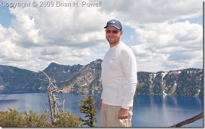
Here I am with my scruffy beard at the top of Wizard Island.  (Click on any image to enlarge.)  Yes, the water really is that blue.  It is the deepest lake in the United States (seventh deepest in the world), and is among the clearest lakes in the world.

To get to the boat landing, you hike down the Cleetwood Trail, which means you get to hike back up the trail when you return.  It’s about a mile long and descends 700 feet to the lake.  This is also about the same distance and elevation change of the Wizard Island summit trail.  So I did about four miles today, in 50-60 degree temperatures, at 6000-7000 feet elevation.

Wizard_Island

Even without the stop on Wizard Island, I would have found the boat tour interesting.  We got to see a different perspective on the caldera, and I learned more about the lake than I had known before.

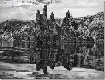
The infrared images below and at the beginning of this post are of the Phantom Ship, a rock formation in the lake.  (The image at the start of this post was inspired by an Ansel Adams photo in Yosemite.)

Phantom_Ship