Valley of Fires and Fort Stanton, New Mexico
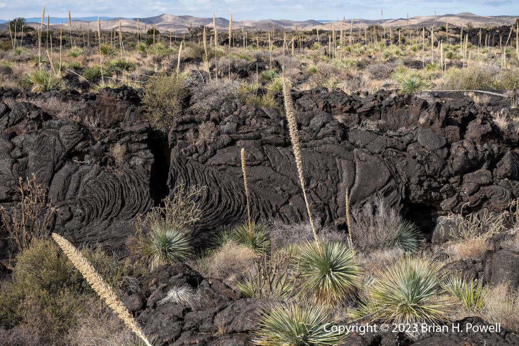
After some dawn photography at Bosque del Apache National Wildlife Refuge, I drove east to start the drive back to Texas. One stop I often make is at the Valley of Fires Recreation Area. This is part of the Malpais Lava Flow. It’s a nice place to get out and stretch during the long drive.
Click any image to enlarge.
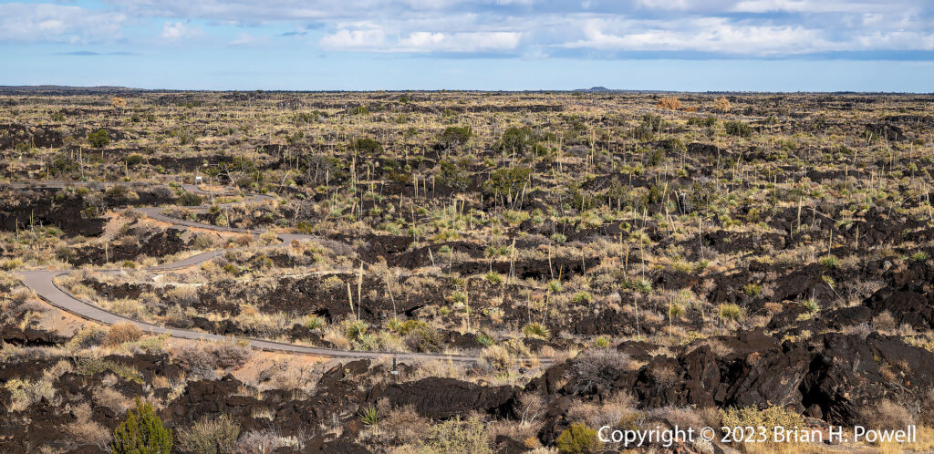
The lava flow happened about 5000 years ago. In the photo below, you can a small cone on the horizon. This is Little Black Peak, the source of the lava flow. It’s about 7 miles north of the visitors center. There’s a 1 mile paved footpath through the lava flow that you can see in the photo below as well.
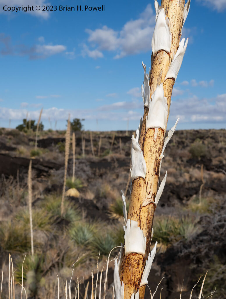
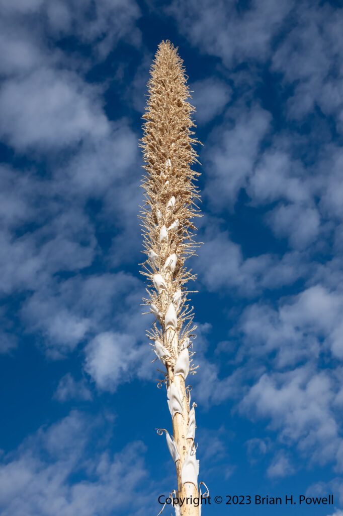
One common plant you see in all of these photos is Sotol (Dasylirion Wheeleri). They have a tall flowering stalk.
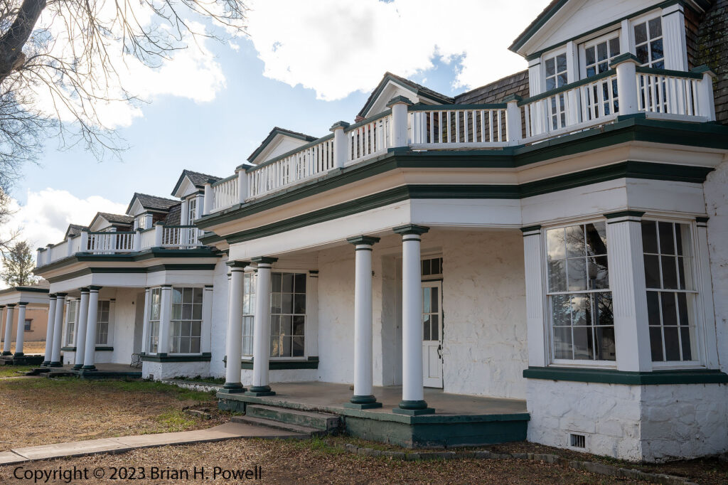
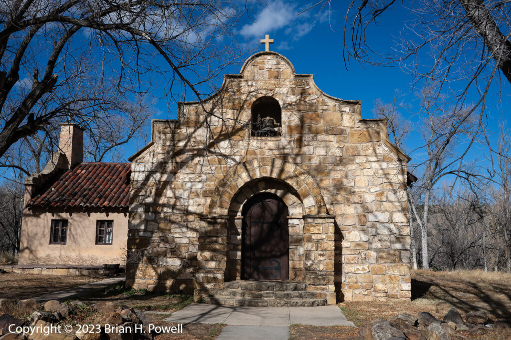
After walking the loop trail at Valley of Fires, I continued driving east. Going this direction takes me past Capitan (where I often stop to pay my respects at the grave of Smokey Bear). Nearby, there’s a road to the south that goes to Ruidoso. This time I stopped to see Fort Stanton, a historic site that started as a military outpost in the mid-19th century. In the 20th century it was used as a US Merchant Marine Tuberculosis Hospital, a Civilian Conservation Corps camp, a German POW internment camp, and a state hospital, among other things.
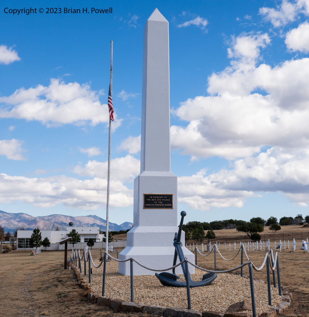
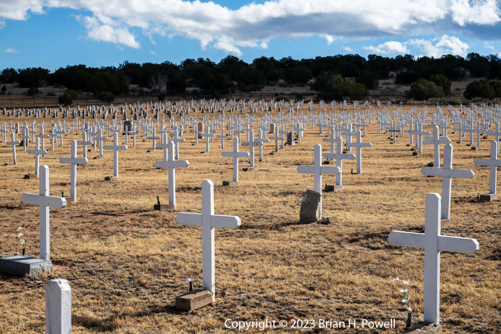
Up the road about a mile is the Fort Stanton Merchant Marine Military Cemetery and State Veterans Cemetery, with a large obelisk memorializing the Merchant Marine.
From there I kept on driving through Roswell and down to Carlsbad, where I stayed for the night.

