Bosque del Apache 2025 Photography Report
First, an apology that I’ve been sitting on several unreleased blog posts, some of which are over a year old. You may see a bit of time travel as I finish them up and release them well after the photos were taken.
I wanted to give a quick update about Bosque del Apache, a wildlife refuge in New Mexico that used to be one of the great bird photography destinations in the USA. I only had a chance to visit on two different mornings this past week, so my information is somewhat limited.
I encourage you to click the tag on the right for Bosque del Apache NWR to view several older blog posts about the refuge.
2025 was a somewhat unusual year for the refuge, with a 43-day government shutdown in October and November, as workers and volunteers at the refuge should have been preparing for the winter season. This includes mowing the fields to prepare some for flooding with water from the Rio Grande. I was told that only one employee was allowed to work during the shutdown, and no volunteers were allowed to work. This obviously set preparations back. The annual Festival of the Cranes was cancelled.
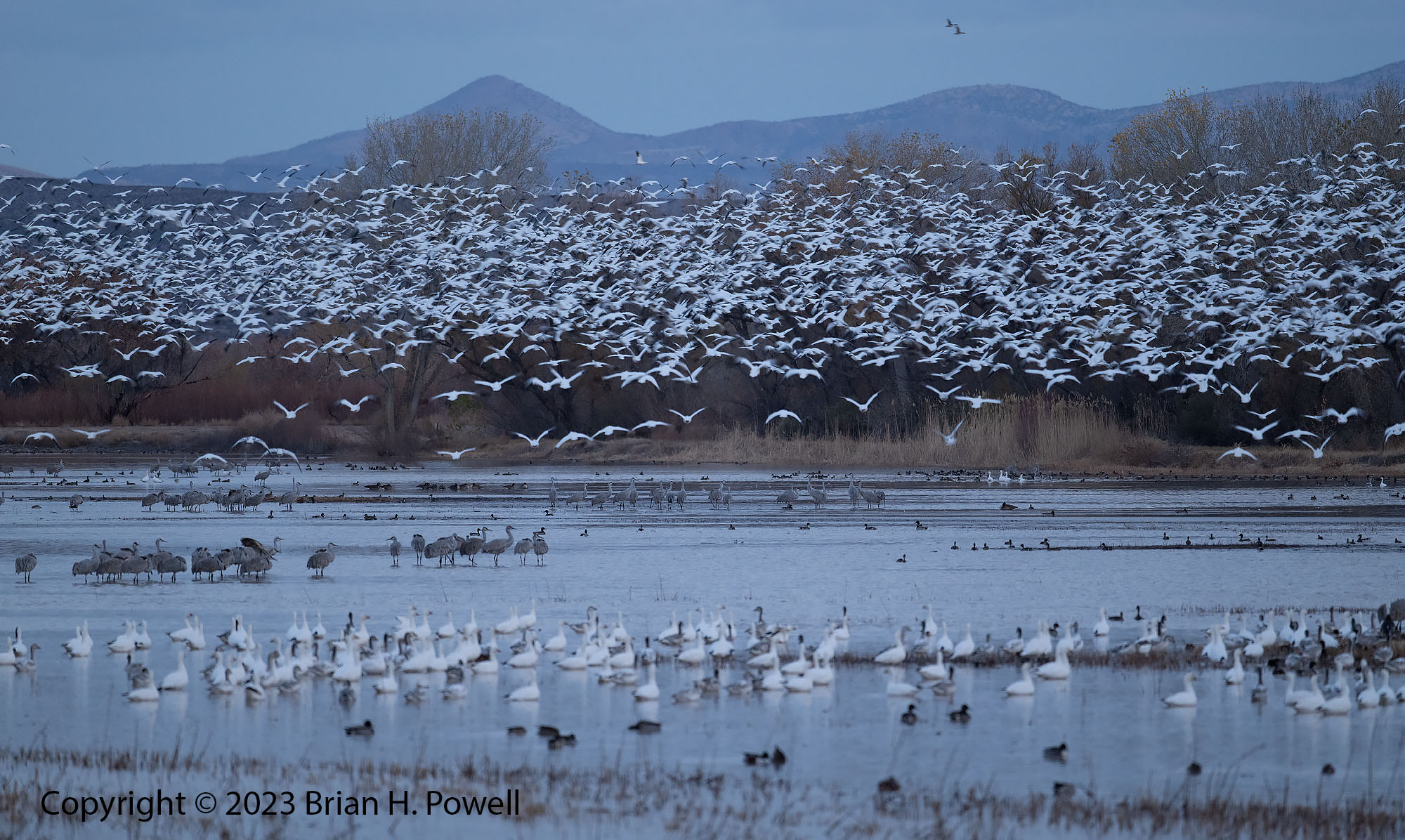
Regardless, birds still found their way to the refuge. As I saw in my last visit in 2023, the number of birds was way down compared to 15 to 20 years ago. My understanding is that this is intentional, to spread the birds out to more of the refuges along the Rio Grande. There also seems to be an intent to keep the flooded areas and farmed areas (and thus the birds) further away from the roads (and thus the photographers).
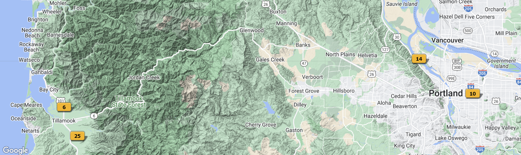
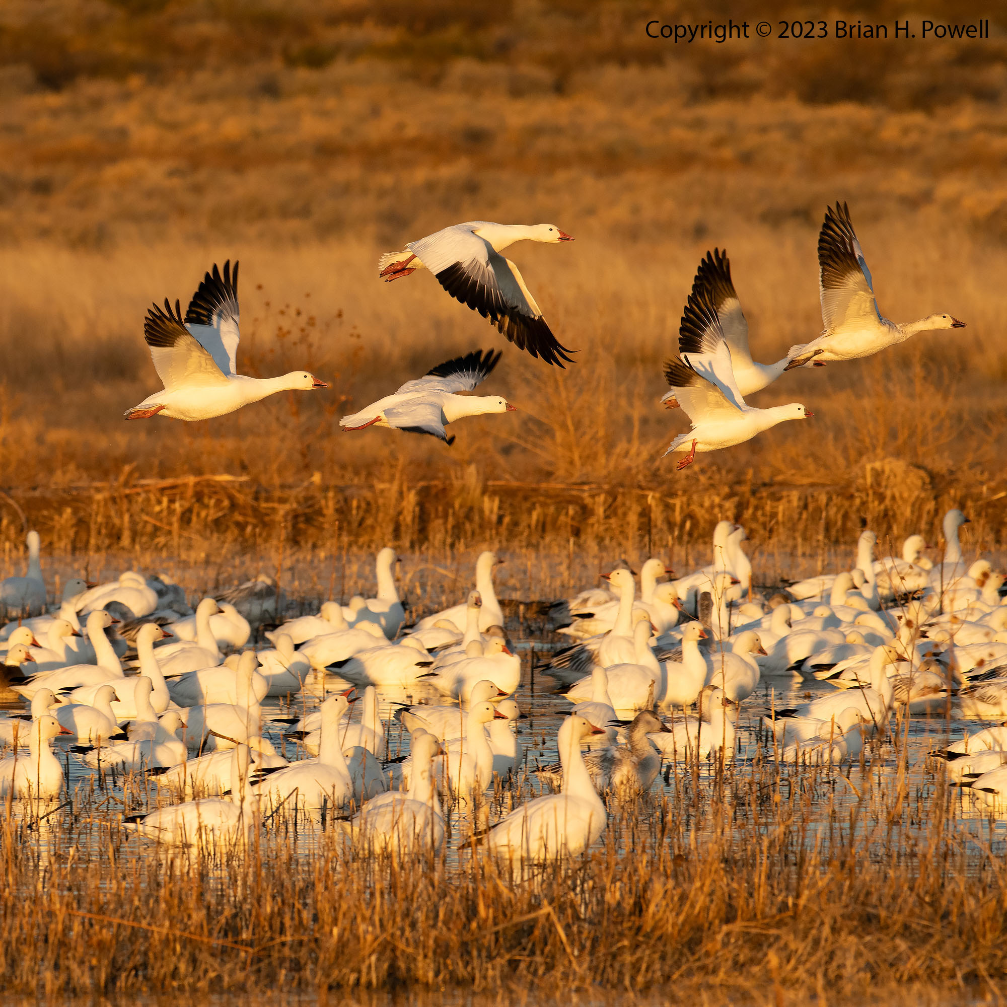
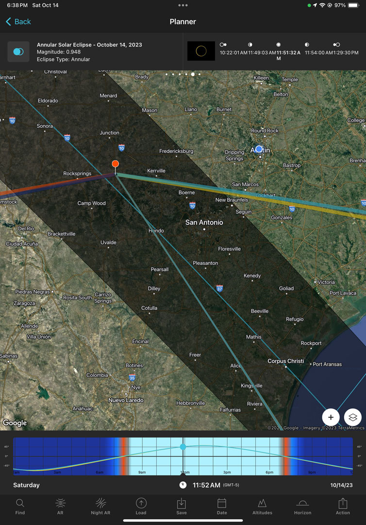
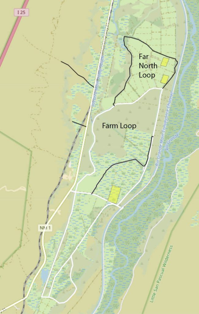
Anyway, I’ve highlighted in yellow boxes the areas where I had the most luck with birds in early December 2025. Snow Geese and Sandhill Cranes overnighted in the southernmost of these boxes, an area flooded just north of the main central road. As the sun came up, the geese moved north to the other areas I’ve highlighted. This is the first time I’ve seen what I call the “Far North Loop” open; in years past, only the Farm Loop has been open on the north side.
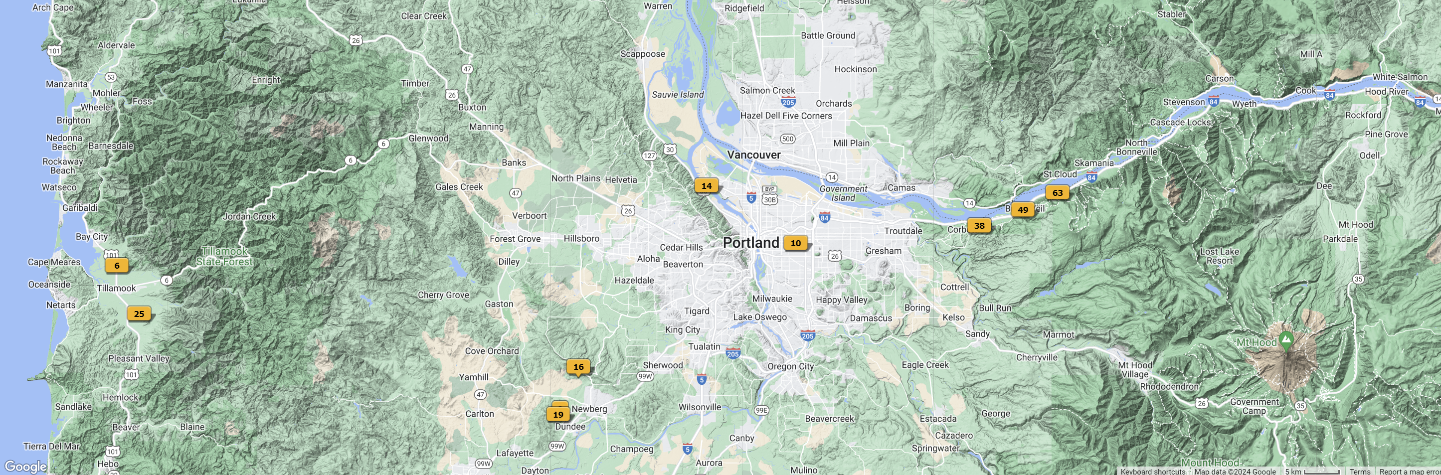
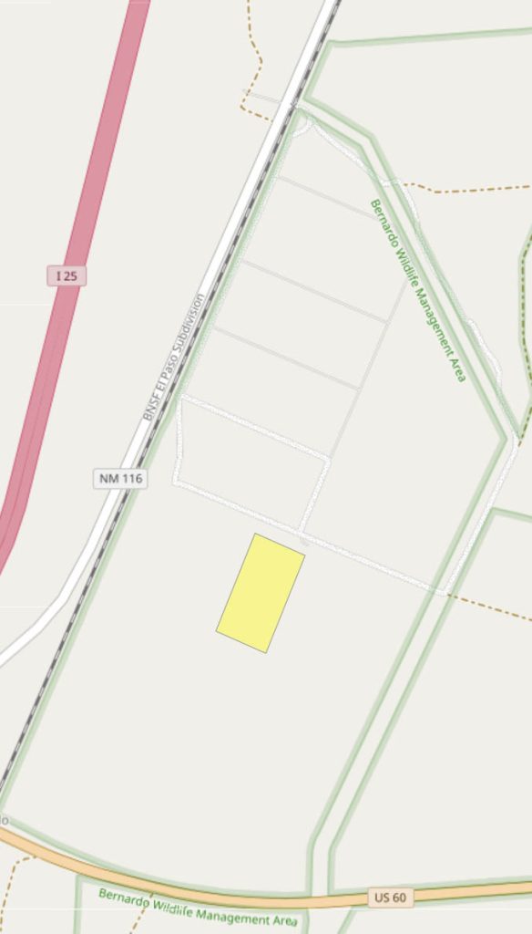
As I did in 2023, I spent a morning in the Bernardo Wildlife Area, part of the Ladd S. Gordon Waterfowl Complex. It’s about 25 miles north of Socorro near I-25 and US 60, as shown on the map below.
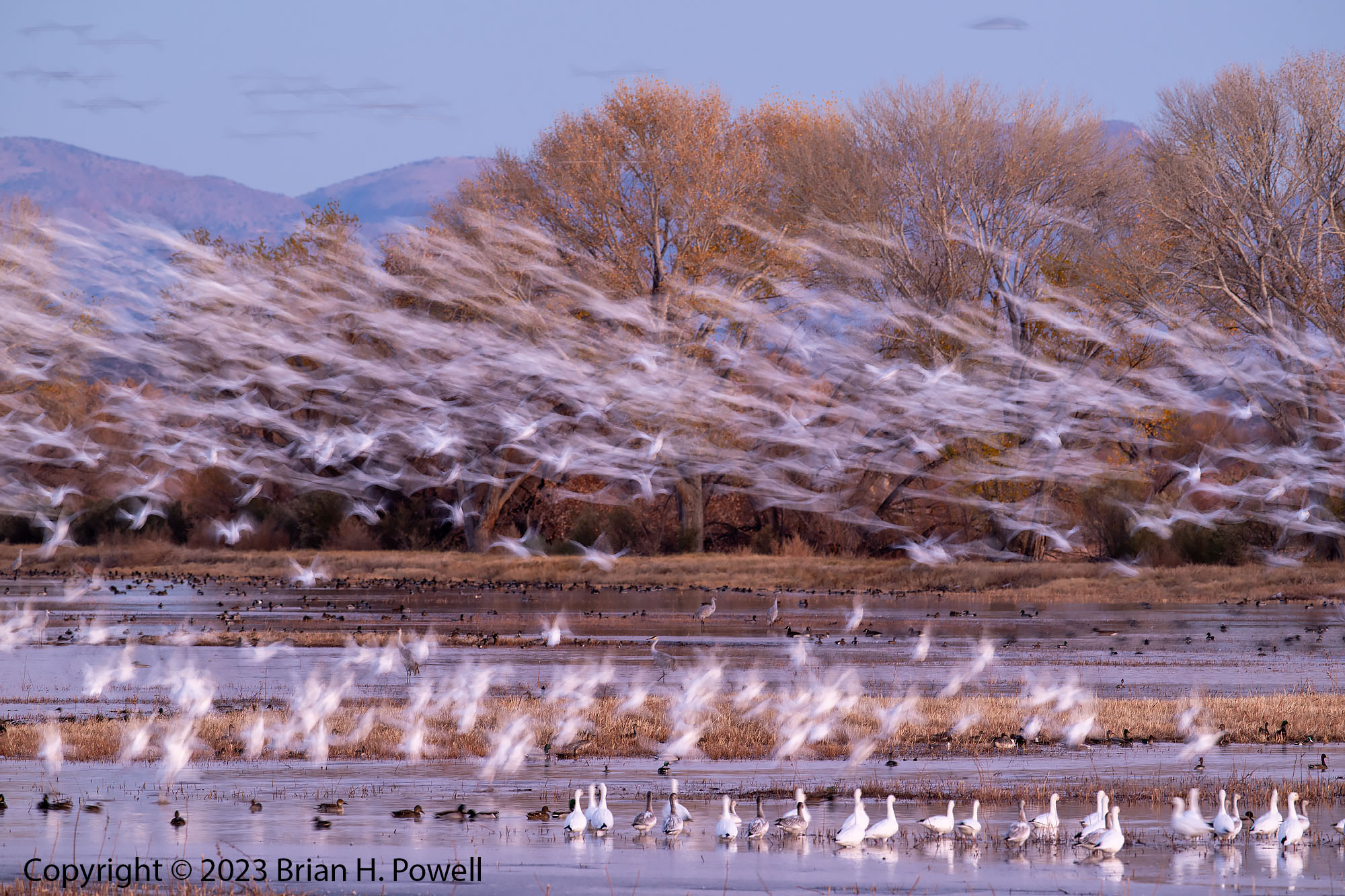
Bernardo is a much smaller refuge, managed by the state of New Mexico. It reminds me a bit of the way that Bosque used to be–the birds are likely to be closer to the roads and the sightlines for photography are cleaner. While I was there, a single area was flooded, and a few thousand birds overnighted in the area shown in yellow below. My understanding is that the area was only flooded the week before Thanksgiving.
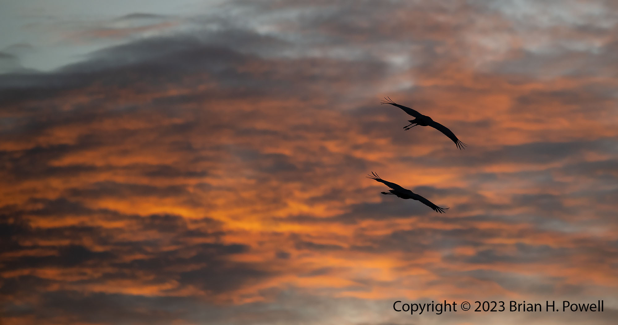
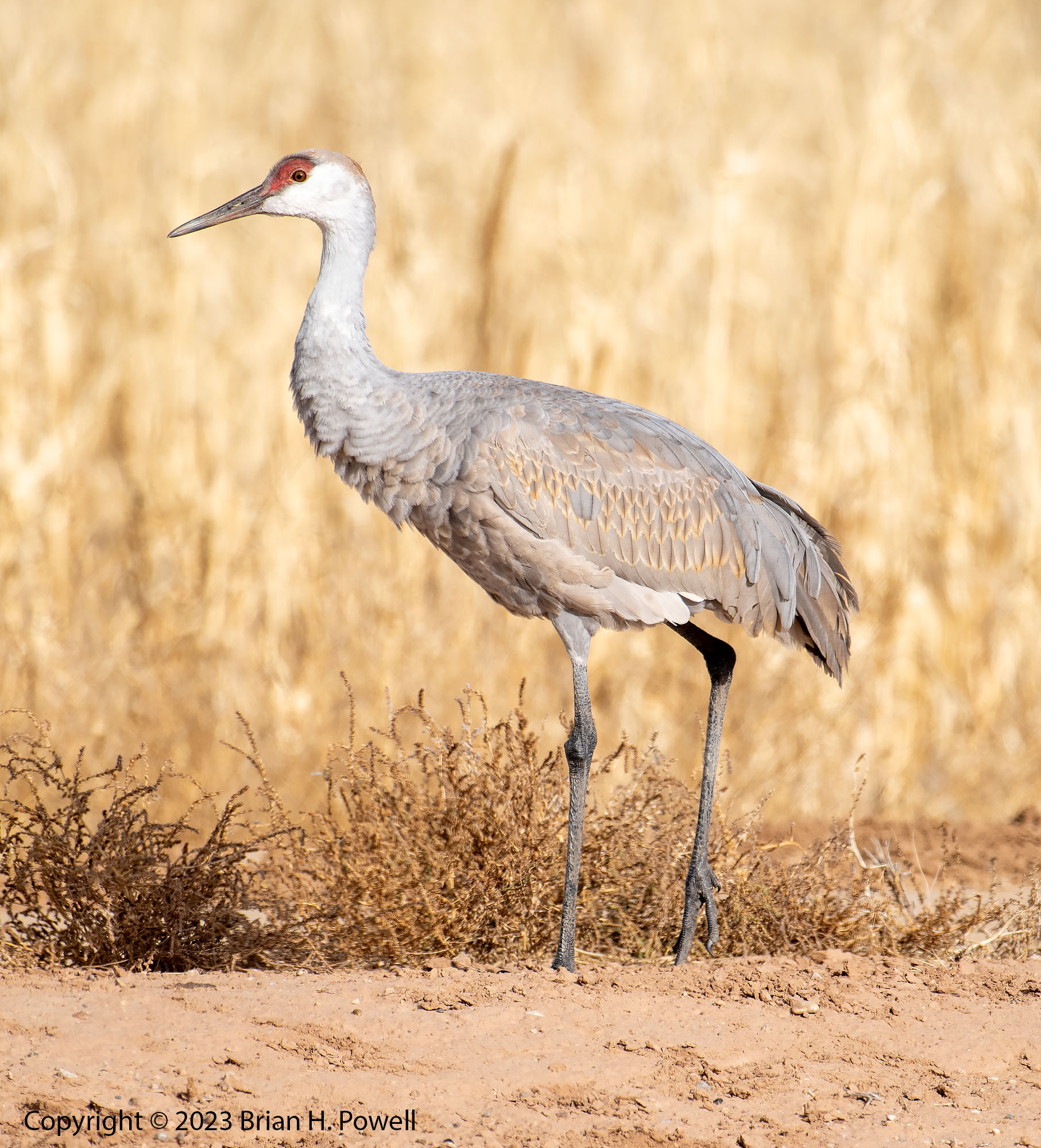
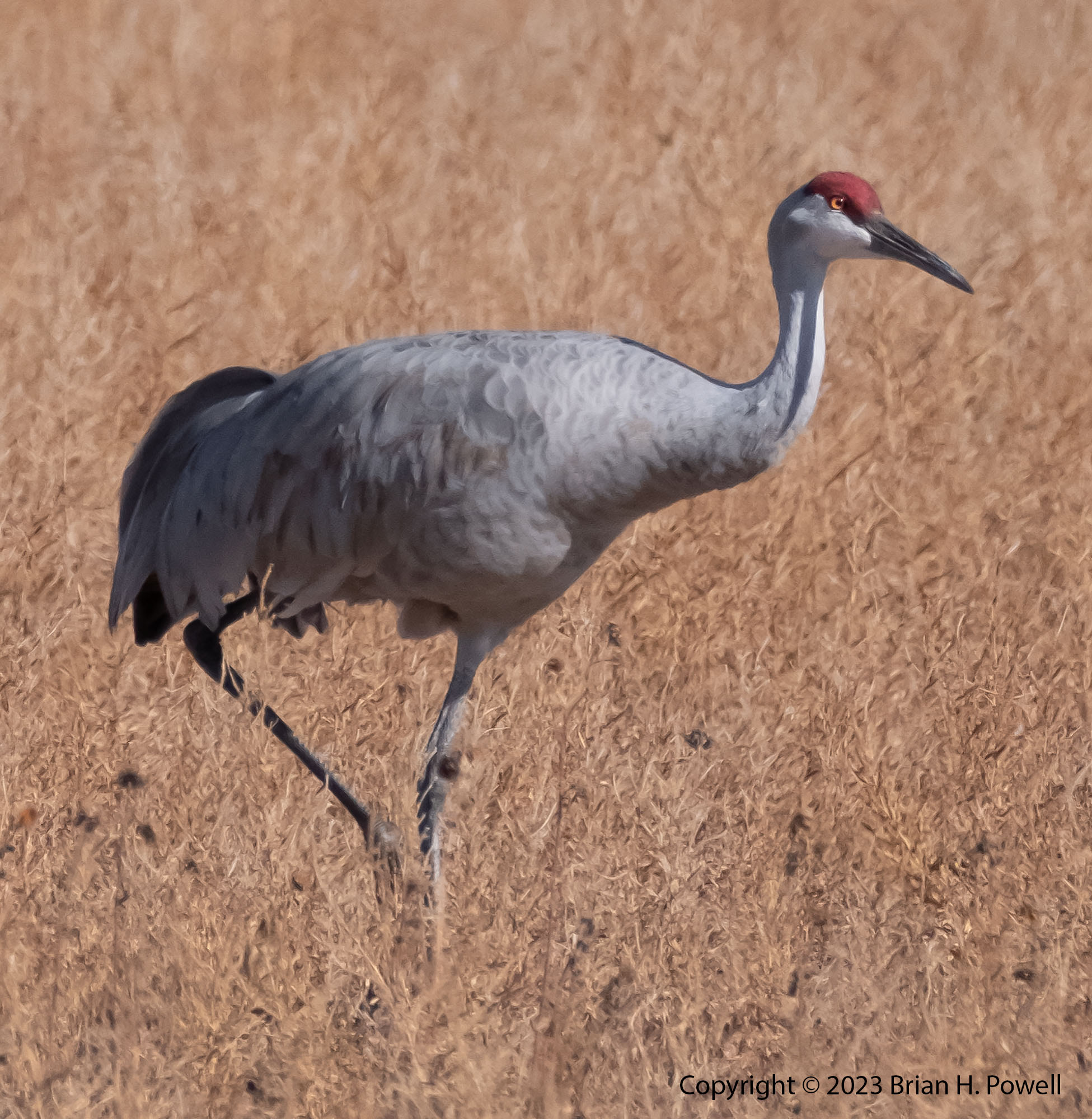
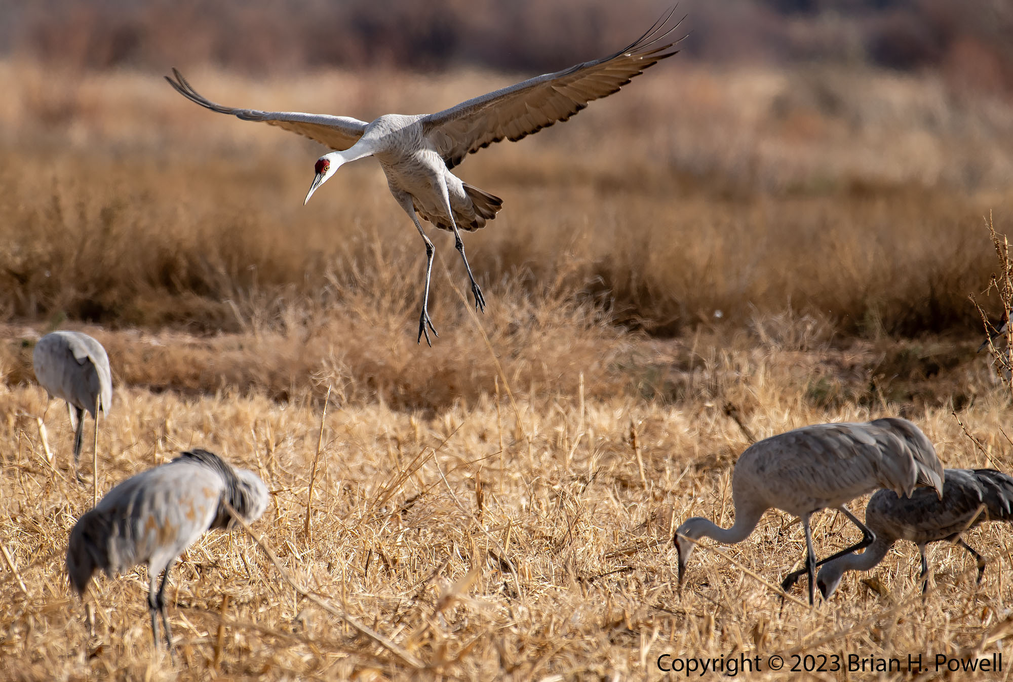
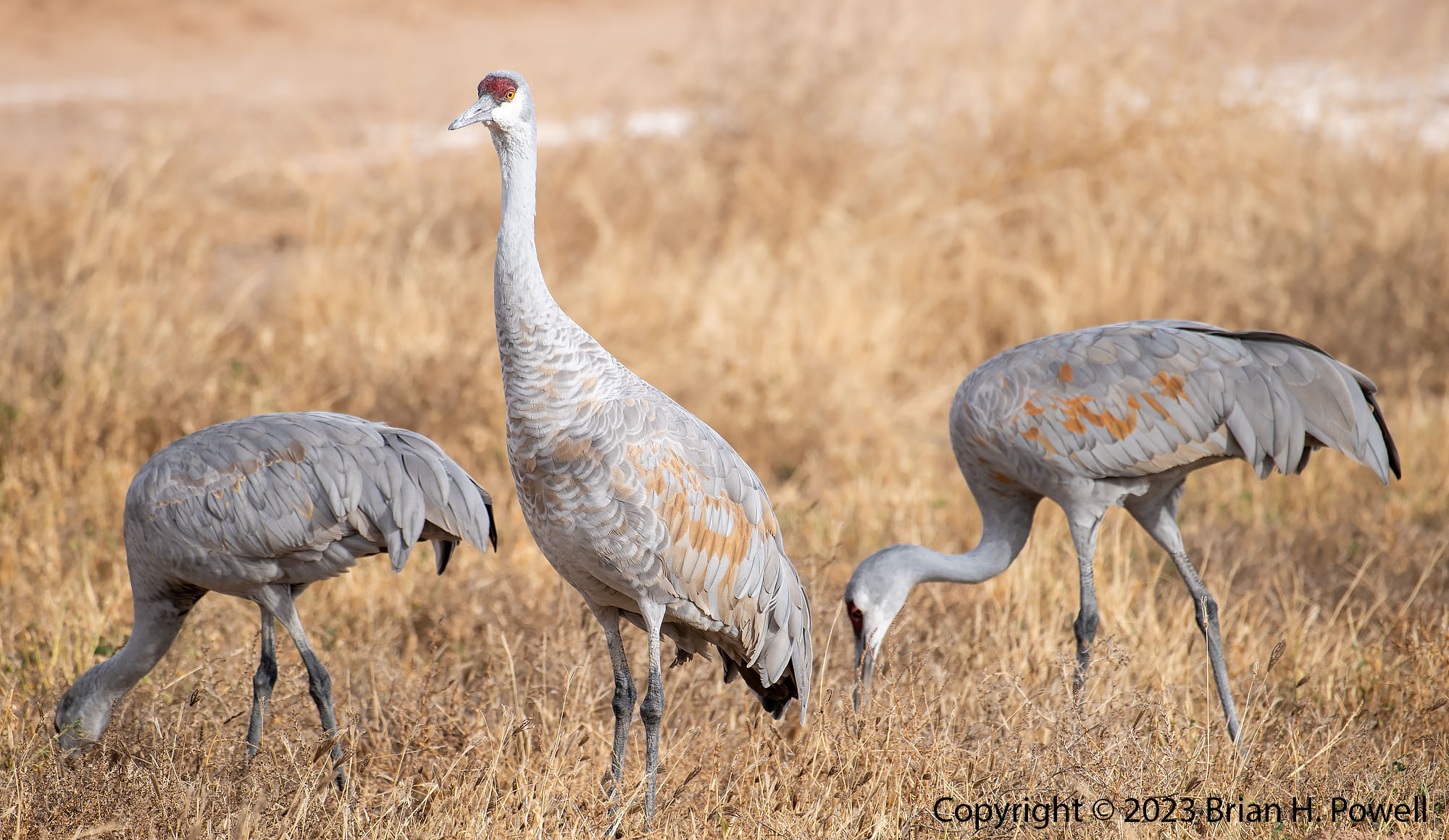
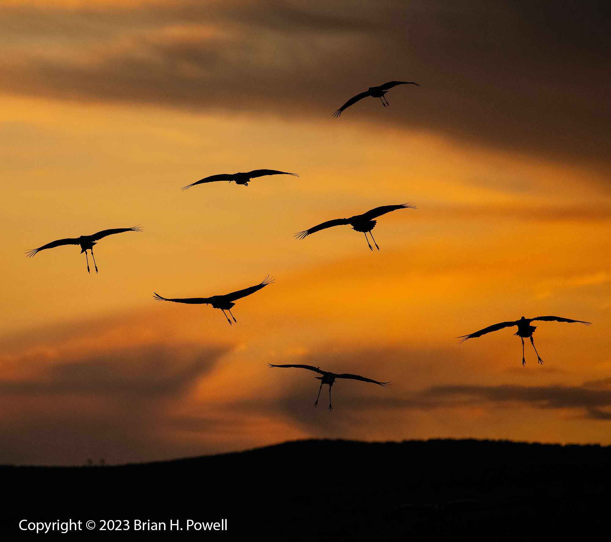
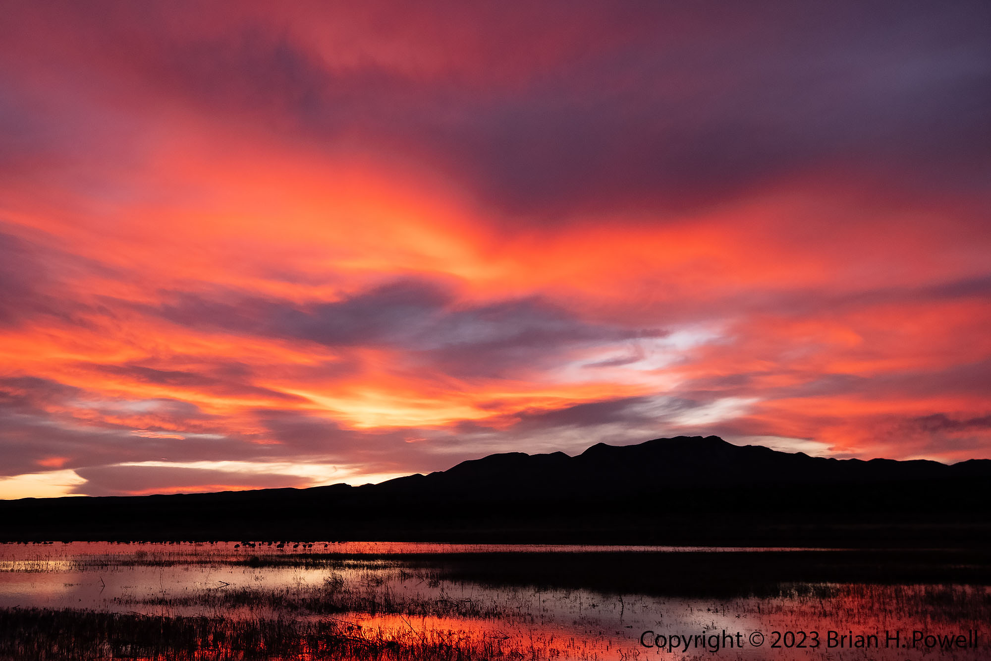
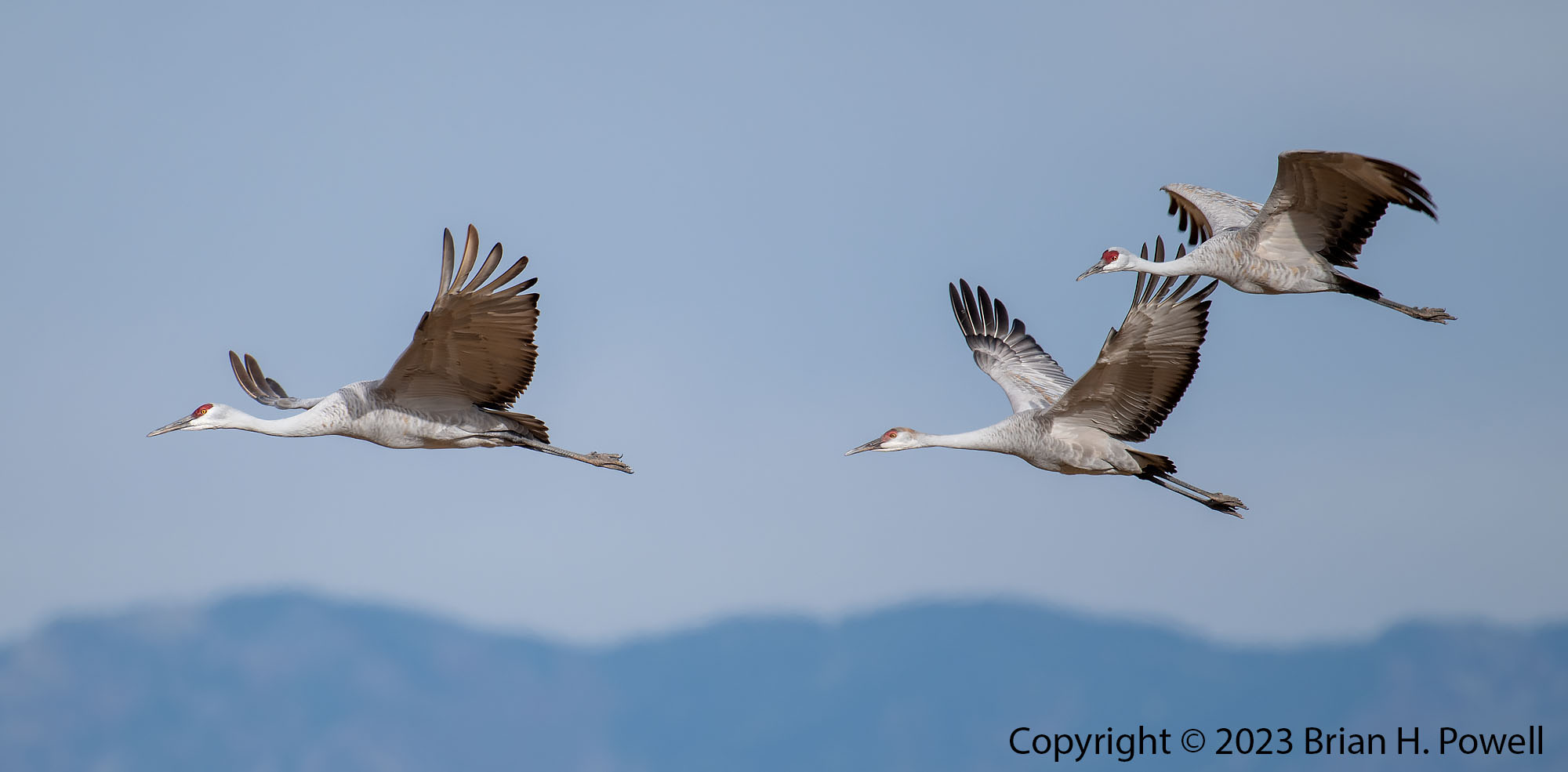
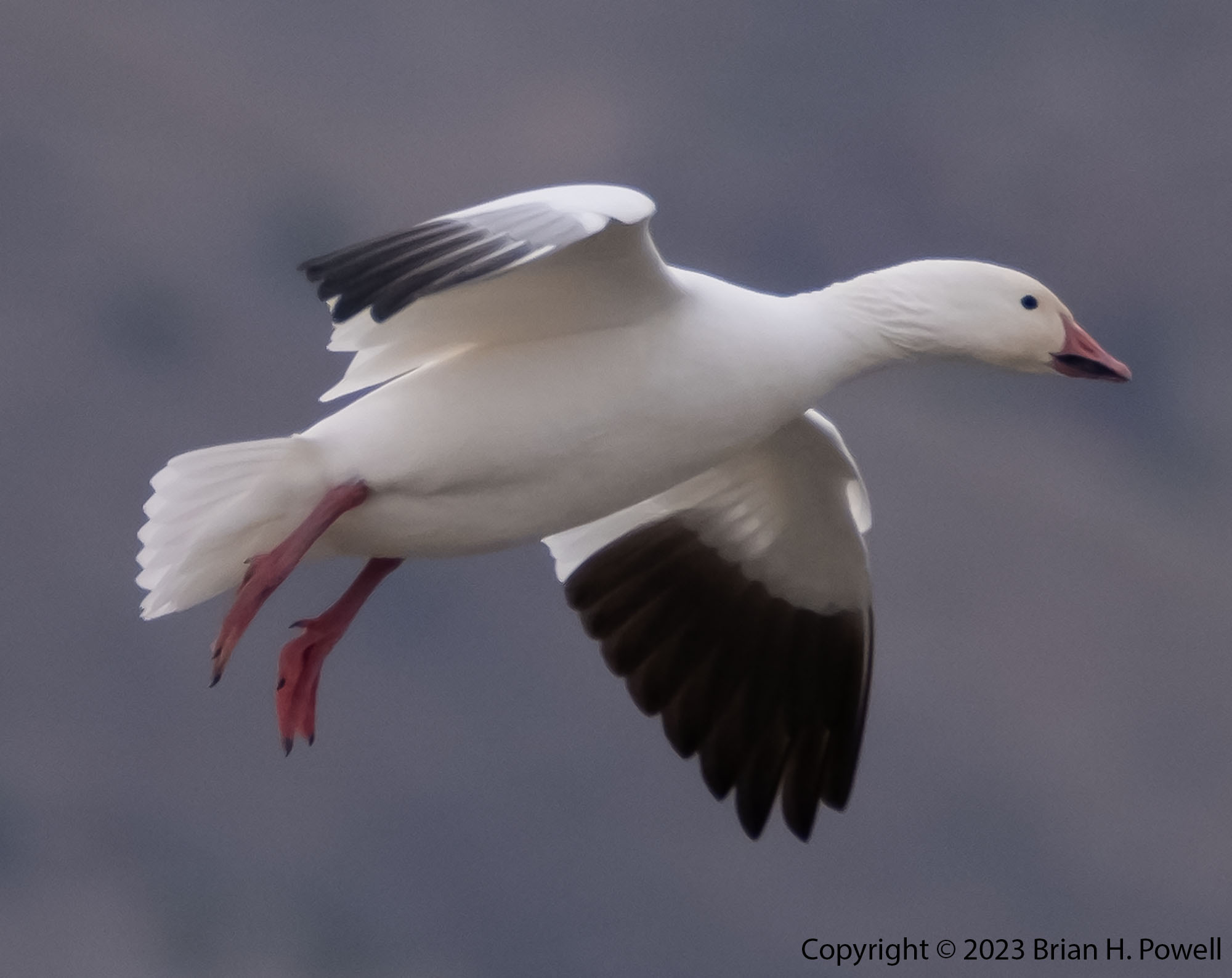
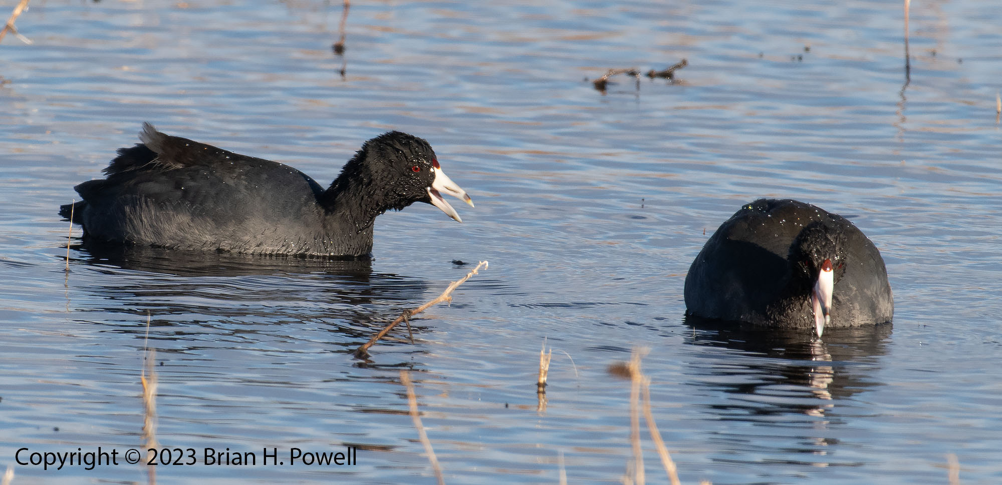
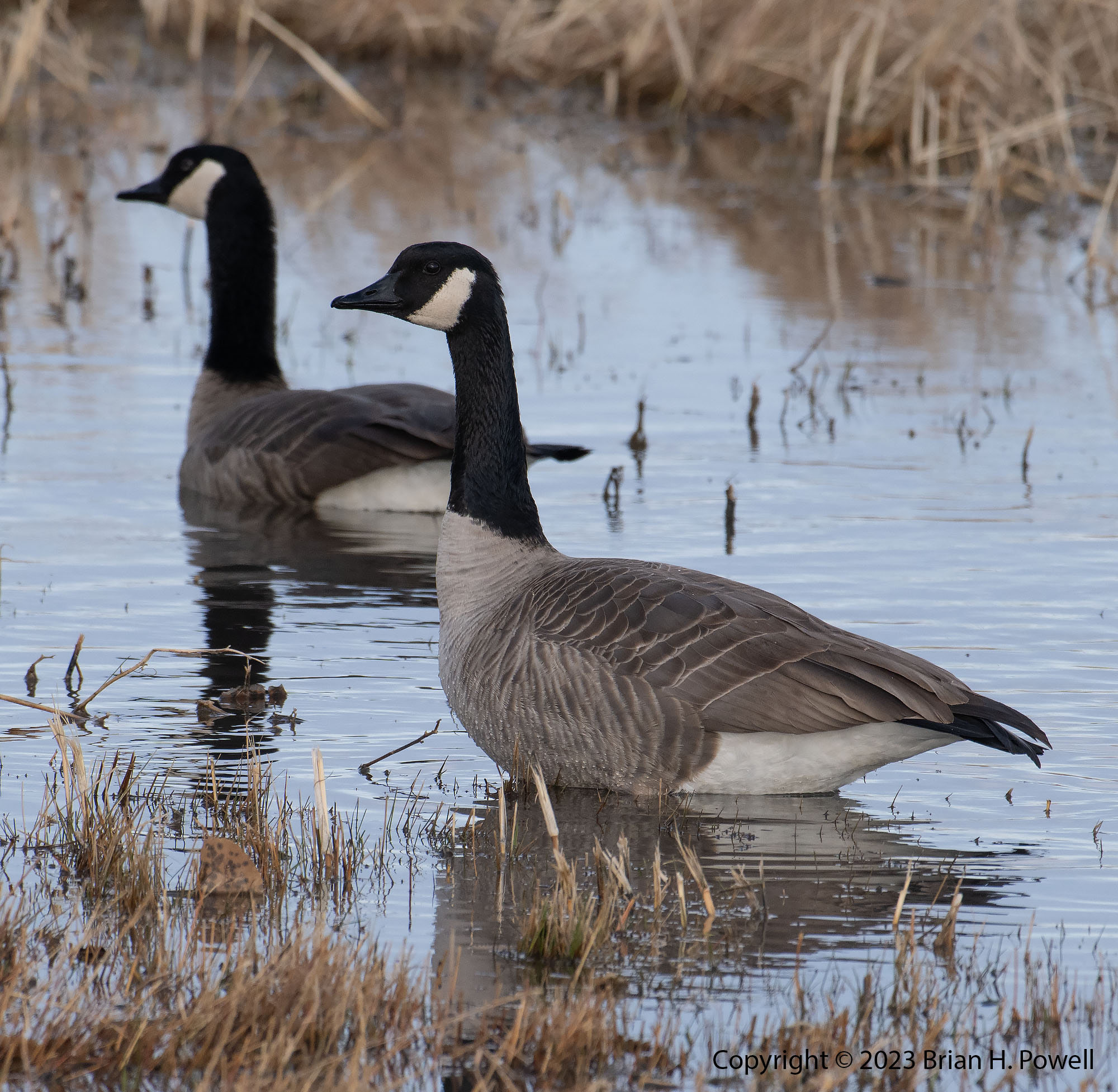
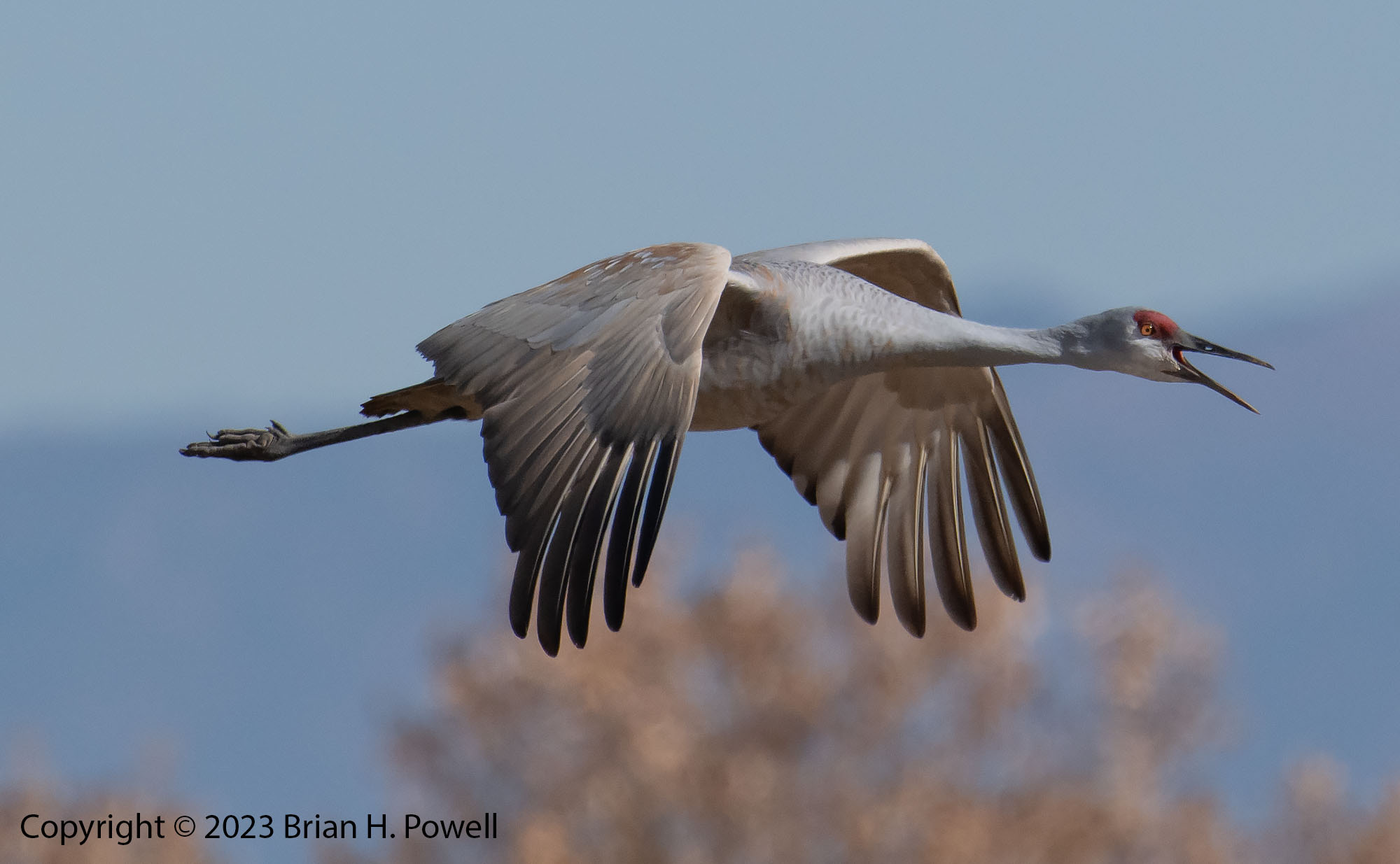
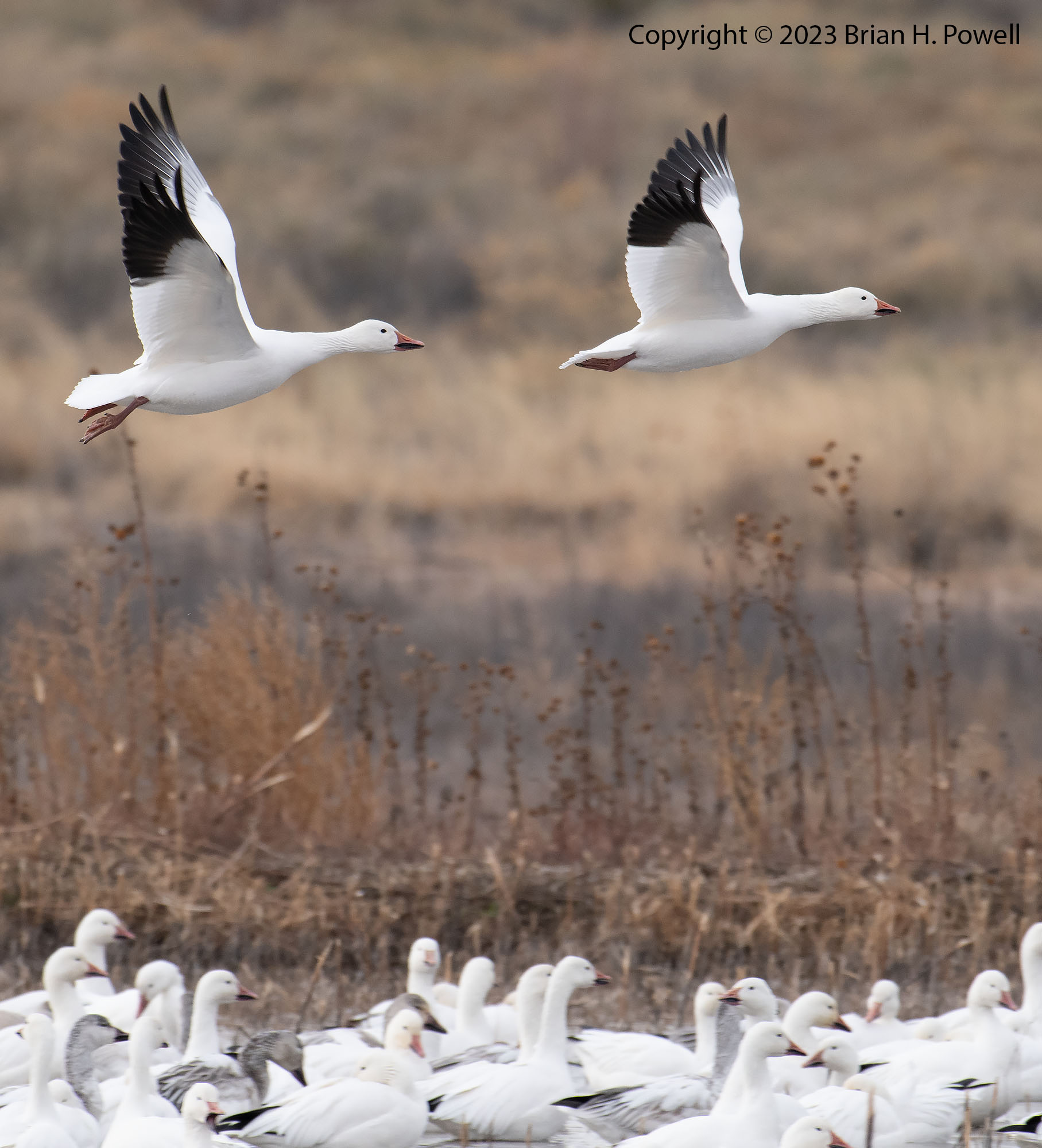
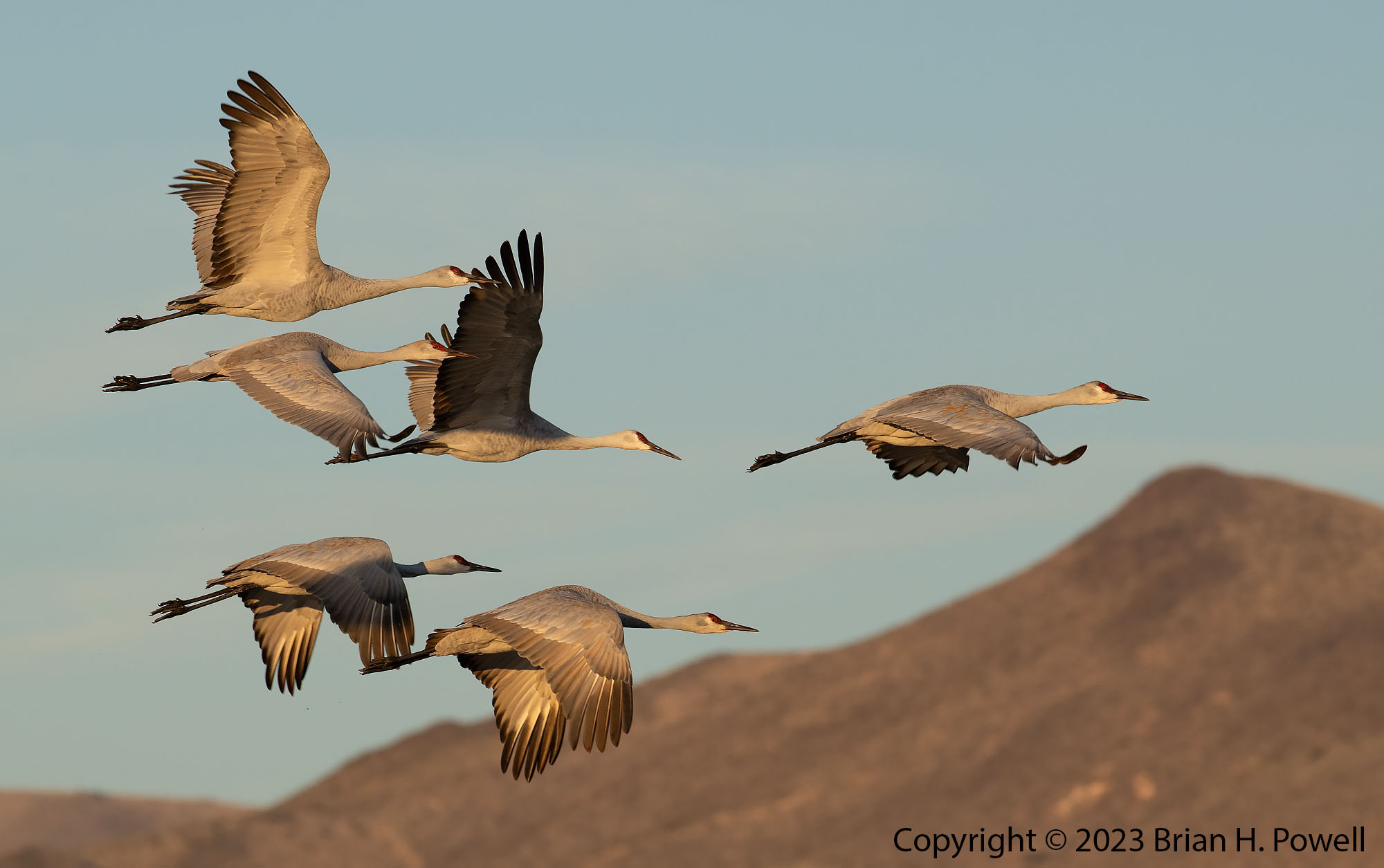
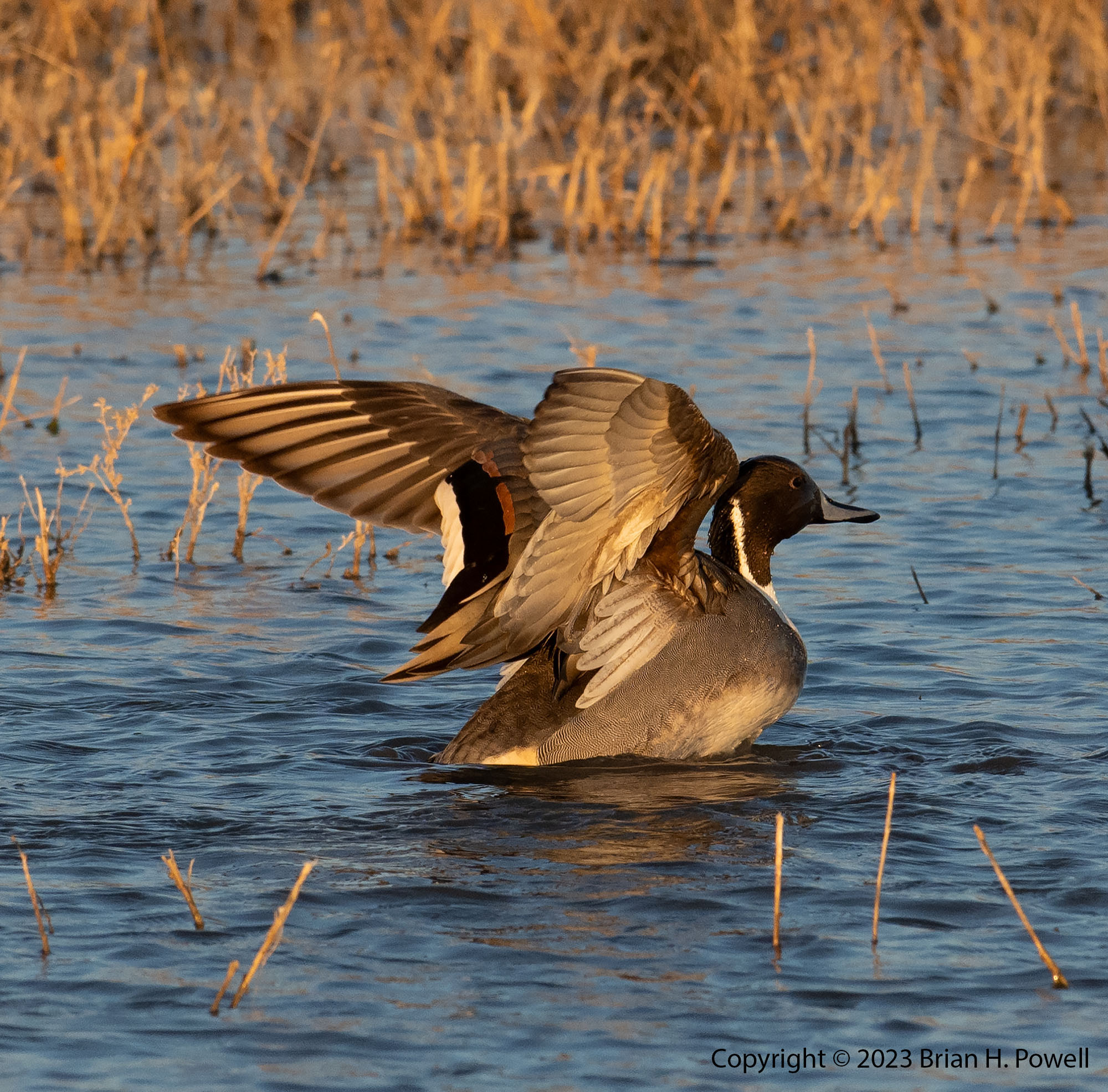
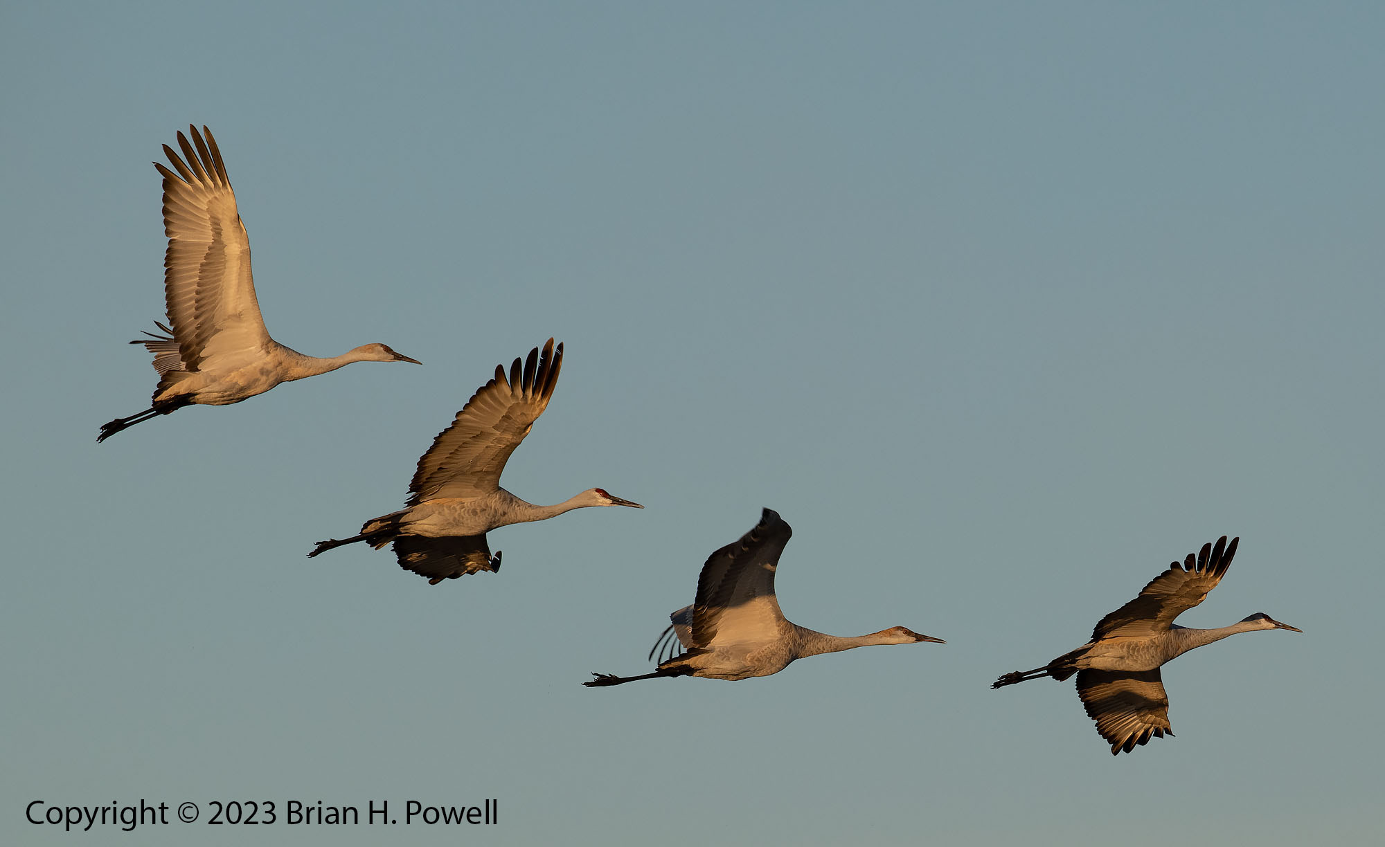
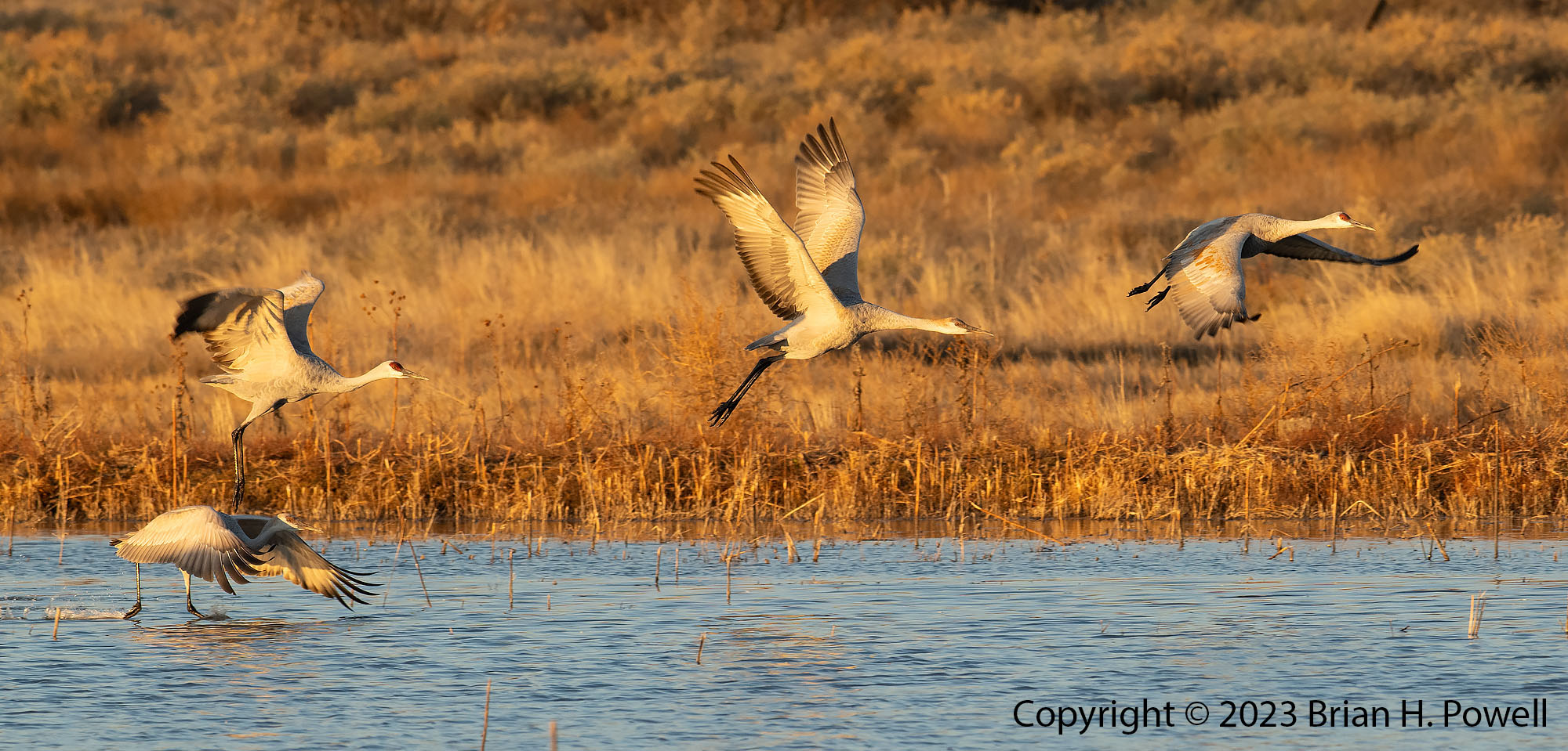
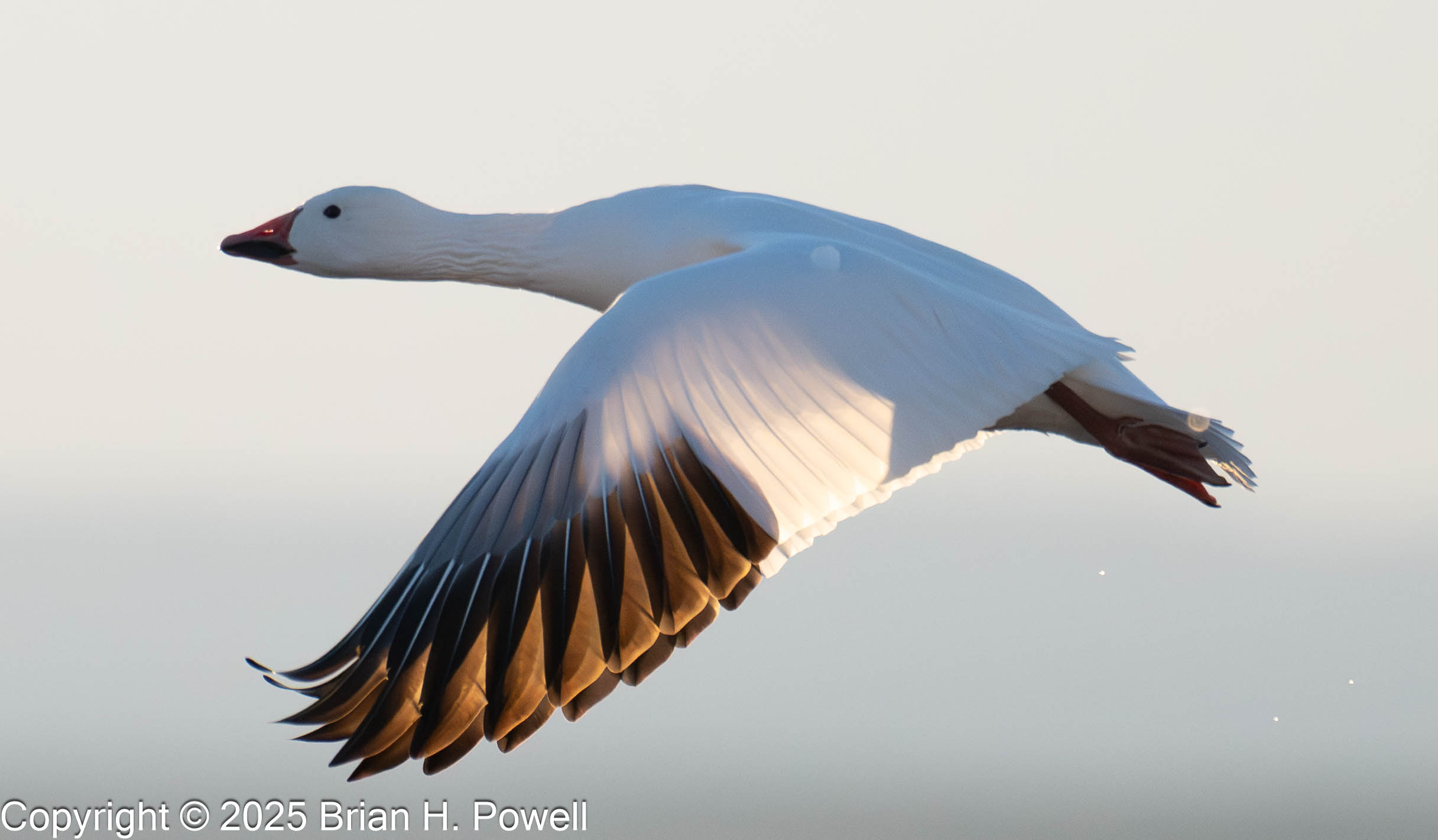
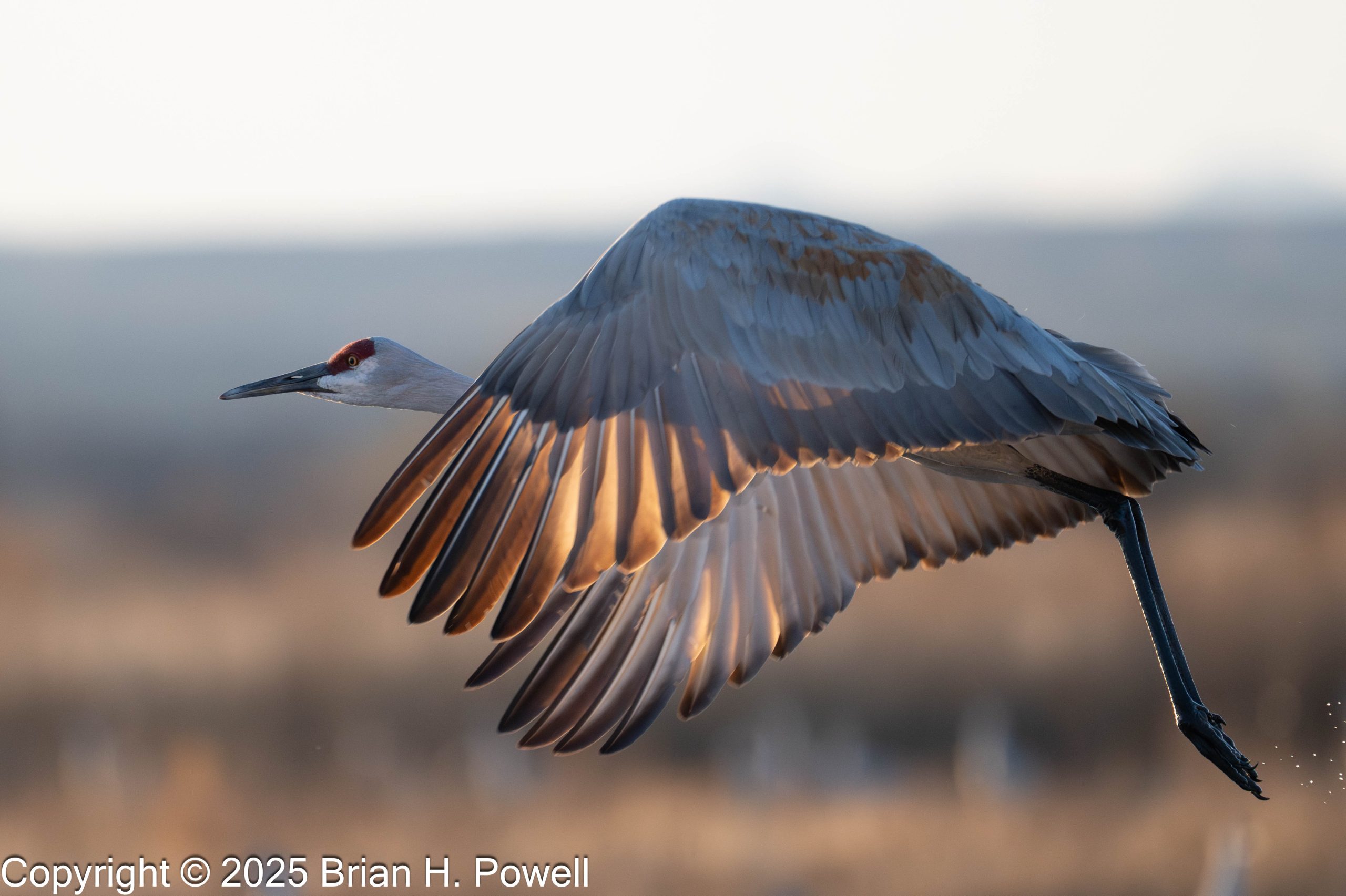
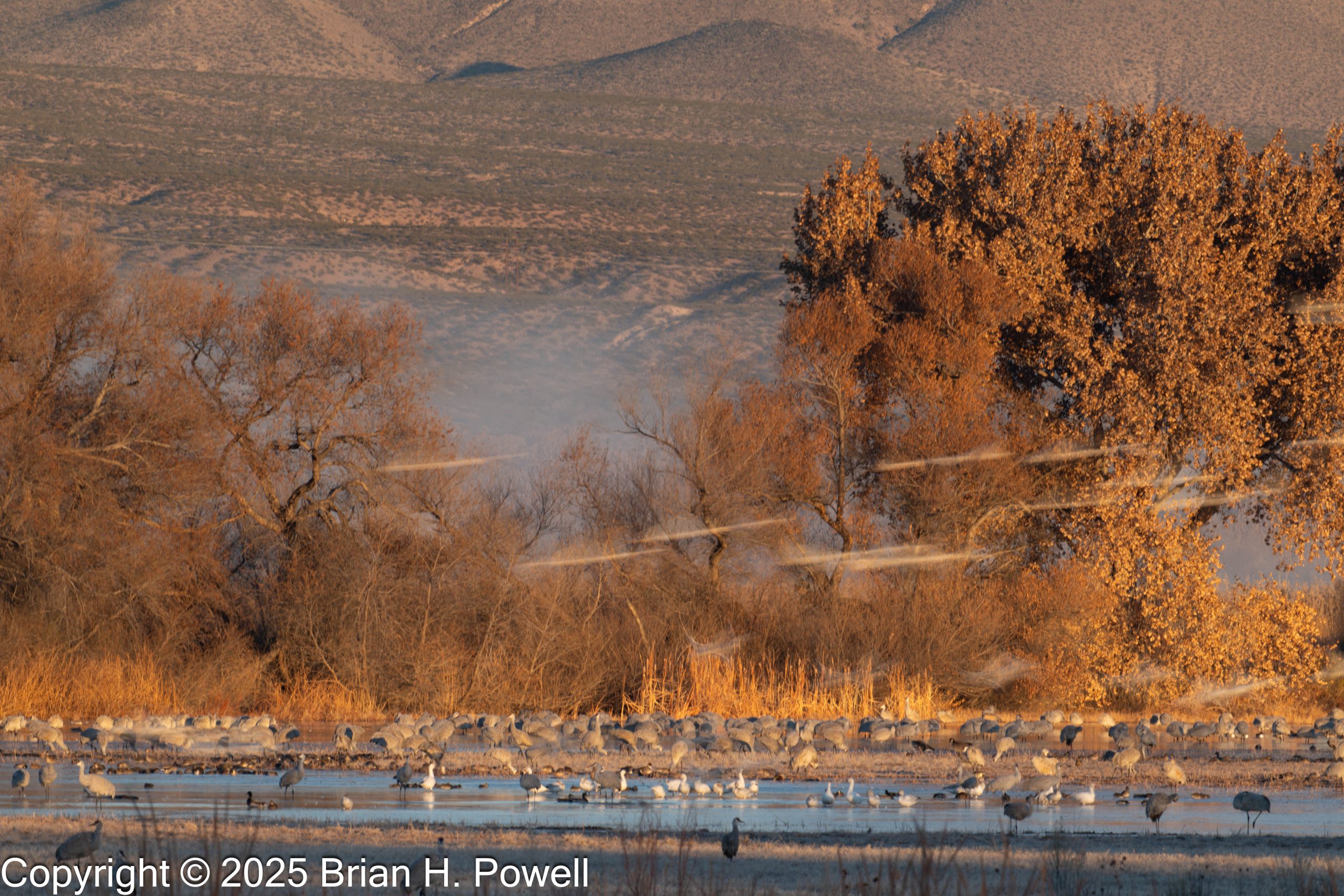
Since my time was limited, I didn’t make a ton of photos, but here are a few of my favorites.
Click on any image to enlarge.
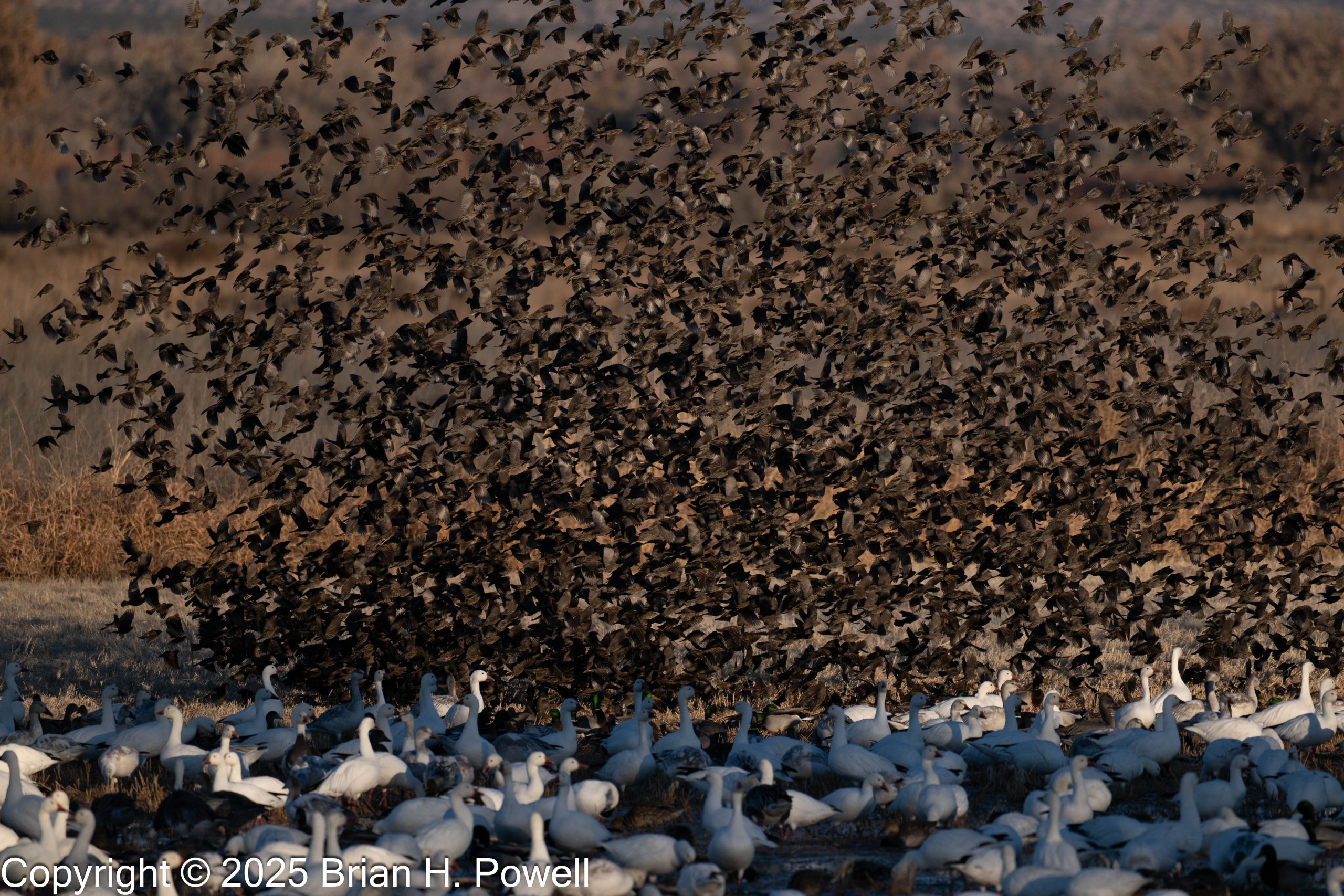
At least, I think those are blackbirds. There are clearly some Redwinged Blackbirds mixed in, and some Wigeons in the foreground, too.
Thanks for reading.