Mystery Valley, and on to Hunt’s Mesa
On Sunday, April 13, we began in Monument Valley and, with a Navajo guide, visited Mystery Valley before making our way up to Hunt’s Mesa.
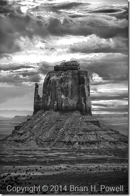
I got up for sunrise in hopes that we might get some good color. I was playing around with HDR (high dynamic range) photography. I didn’t get any colorful shots that I liked, but I decided to process the HDR as black and white, and I kind of like the way this turned out. The sun is rising just behind this mitten…
(Click to enlarge)
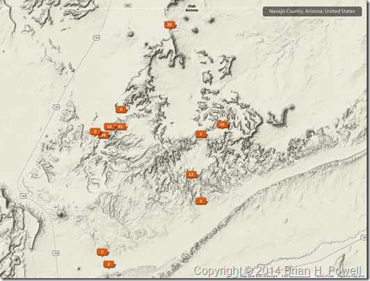
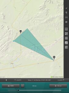
Here’s a map showing where my photos were geotagged. We more or less worked our way in a counterclockwise fashion, starting at The View hotel at the top, Mystery Valley to the southeast, then further south as we and east as we worked our way up Hunt’s Mesa.
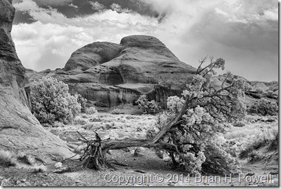
Here’s an infrared photo from Mystery Valley. They had a bad ice storm this winter, and several trees were damaged.
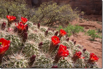
Here’s a nice claret cup cactus in bloom…
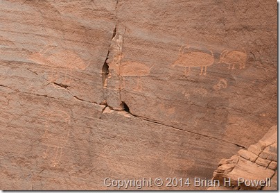
We saw plenty of pictographs and petroglyphs…
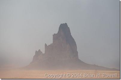
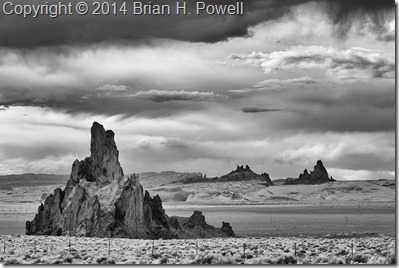
As the day wore on, it was clear that we were in for windy conditions. This affected visibility to some extent, but it wasn’t a complete bust. Here’s a photo of El Capitan as we worked our way around to the back side of Hunt’s Mesa.
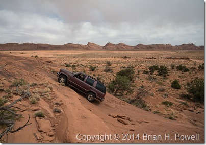
I’ll save you the story about how our vehicle got stuck in sand for about an hour and how we managed to get it unstuck. But a little later, we reached a sandstone cliff, and our guide, Tony, admitted, “I’ve never been up this way before.” This was our signal to get out and walk. Tony decided it was passable, but with our confidence waning due to getting stuck in the sand, we told Tony we’d meet him at the top. Here’s a photo of him charging up the hill…
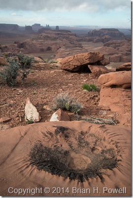
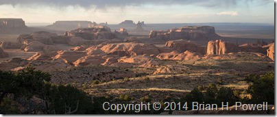
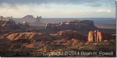
Eventually, we made it to the top of Hunt’s Mesa. Here are a few images from late afternoon and sunset. It was still very windy, especially as we approached the edge of the mesa to take these photos.
We camped out on top of Hunt’s Mesa that night. The wind died down about midnight, and it turned even colder. I was warm in my REI +25 sleeping bag, but eventually (at 5:30 AM), it was time to get up for sunrise. We guessed the temperature was in the mid to high 30’s on Monday morning.

