Skip to content

Posts tagged ‘lake’

Quake Lake

The first time I went to Yellowstone was in the mid-1980’s.  Harnessing the power of the internet, such as it was back in 1985, I found suggestions for places to go in the region.  One suggestion was to visit a place called “Quake Lake”, a few miles northwest of West Yellowstone, Montana.

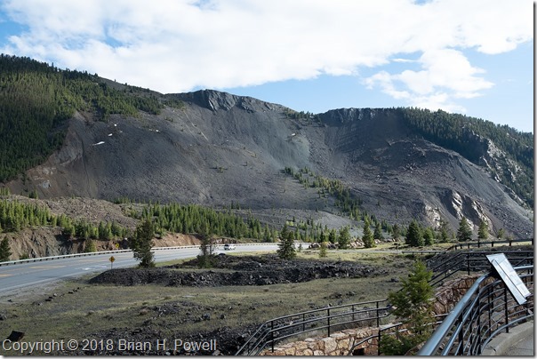
In 1959, a magnitude 7.2 earthquake occurred, centered near Hebgen Lake on the Madison River in southwestern Montana.  It caused a massive landslide in Madison Canyon, killing several people camping along the river.  It also created a new lake, below Hebgen Lake, named Earthquake Lake.

Every time I visit Yellowstone, I have also ventured over to this area.  There are roadside information displays, and a visitors center with more information about the quake.  If you are at all interested in geology and earthquakes, I encourage you to visit.

Here’s the view of the landslide from the visitors center…

Click any image to enlarge.

_DSF5230

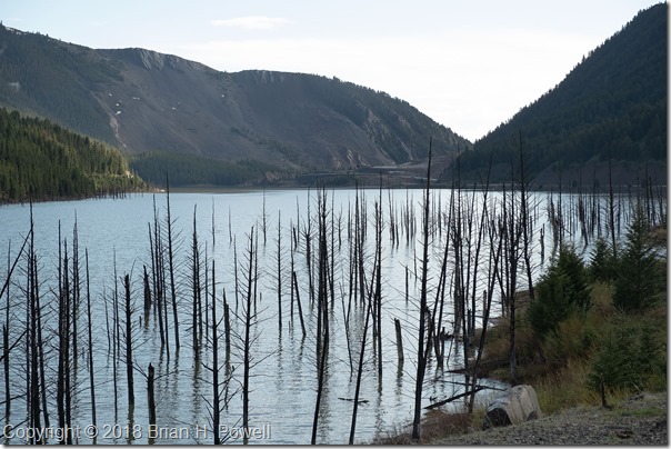
Here’s a view of Quake Lake, looking to the west.  Trees that were inundated by the water are shown in the foreground.  The landslide is at the far end of the lake.

_DSF5236

More Time in the Grand Tetons

I’m back in Austin now.  I chose not to keep up with the blog as I went.  A combination of 16+ hours of light for photography each day, lots of travel time, time with friends, and a little bit of allergies all conspired to help me choose sleep instead of half-hearted writing into the night.  But I’m back, and have four more blog posts in the works after this one.

Sunrise each morning was about 5:50 AM, so I’d get up every morning about 5:00 and head out to see what the sunrise would bring.  We never had any truly spectacular colors in the morning, but it was still beautiful to be in this amazing place to see how the sun would first light the mountains.

Click on any image to enlarge.
_DSF4263

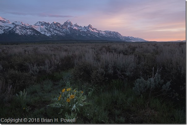
Balsam Root, the yellow flower in the foreground of the photo below, was blooming in many places in the valley.
_DSF4272

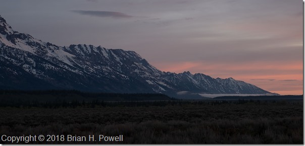
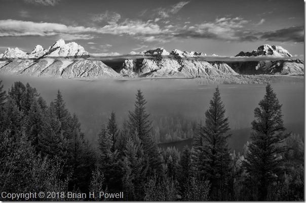
Some mornings would start with fog in low-lying areas.  Clouds in the mountains were constantly changing.  This infrared photo is from the same day as those in my earlier blog post about the Snake River Overlook.  It was taken about fifteen or twenty minutes before the images I posted last week.
_DSC6548


I dropped by another couple of famous places for photography.

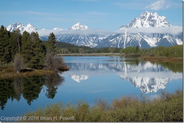
Oxbow Bend, below Jackson Lake on the Snake River often has still water in the mornings, great for reflections of Mount Moran, and to its left, the mountain known, at least for now, as Mount Woodring.  (And further left are Mount St. John and Rockchuck Peak.)
_DSF4250


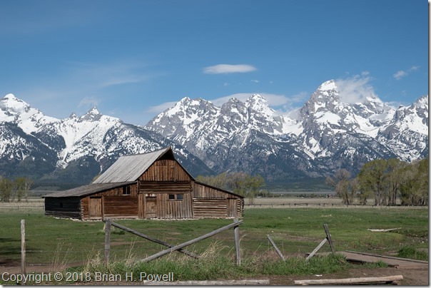
Mormon Row is a section of Grand Teton National Park that I suspect most people don’t visit, but is famous among photographers.  A group of Mormons from Idaho homesteaded here beginning in the late 1800’s, and lived here through the mid-1900’s before being sold to the National Park Service.

Perhaps most famous is the Thomas Alma Moulton barn, shown below.
_DSF4714


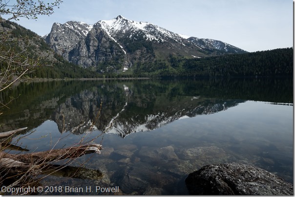
I didn’t do much hiking this trip, but I did take an easy five-mile hike on Tuesday up to Phelps Lake.  This is where I saw the moose in my earlier blog post about Grand Teton Wildlife.
_DSF4764


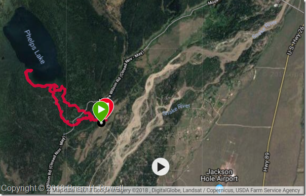
Here’s the GPS track for the hike.  It’s part of the Laurance S. Rockefeller Preserve in the southernmost section of Grand Teton National Park.  This section was donated by Laurance S. Rockefeller to the National Park Service in 2001.
phelpslake

Hiking in the Dolomites, Part 5

(This is my 100th post on this blog.  Thank you all for reading.)

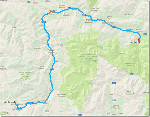
The morning of July 1, we left Selva/Wolkenstein for Lago di Dobbiaco.  I kind of think of this as a rest day between our weather-challenged hike from yesterday, and the 8000-foot-elevation hiking of tomorrow.  We also swapped out our guides–trading Hayden for Jake, who would be with us until the official end of the trip.  Both guides provided by AlpineHikers were excellent.

As we drove over to Dobbiaco, we saw many bicyclists preparing for the following day’s Maratona dles Dolomites, an 85-mile bike race with nearly 14,000 feet of elevation gain.  (The winner averaged 18.6 mph.)  Nearly 30,000 cyclists apply each year for one of the 9,000 starting positions.

ToDobbiaco

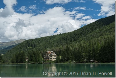
We checked into the116-year-old Hotel Baur, which sits right on the lake.

_DSF1455

(Click on any image to enlarge.)

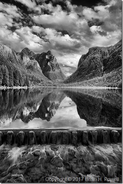
We walked around the lake, then I settled on a view facing south for most of my images.  We played around with reflections, and slow shutter speeds as the water flowed over a dam at the north end of the lake.  Here’s an infrared photo from late in the day.

_DSC6433

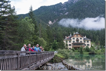
Here’s a group shot of all of us on a bridge near the hotel.

_DSF1516

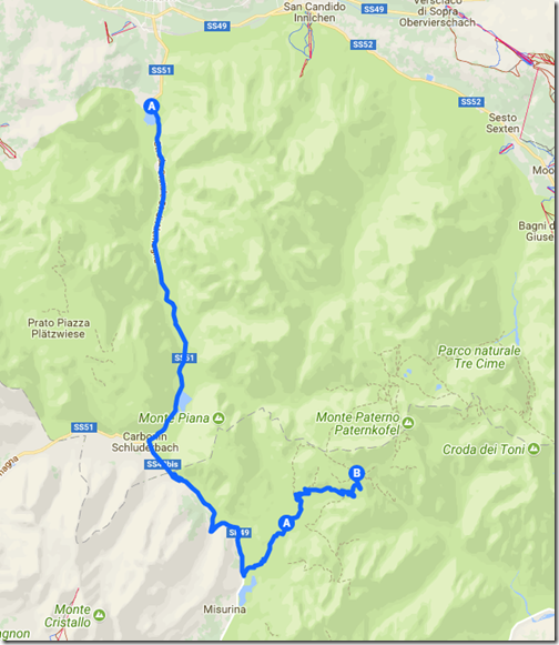
The next morning, we drove into the Tre Cime Natural Park and began our hike to Rifugio Locatelli.  Stay tuned for more.

ToTresCime

Alaska, Day 12

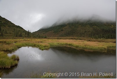
The rain continued off and on through day 12 in Kantishna, but that didn’t stop us from hiking a bit.  In the morning, we went to Blueberry Hill, near Wonder Lake.  We tasted wild blueberries and low-bush cranberries along the way

_DSC1506

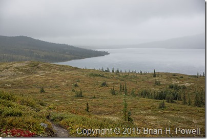
View of Wonder Lake (and behind the clouds, Mount McKinley) from Blueberry Hill

As you can see, it was overcast.  We hiked in mist and the occasional rainshower.  The cloud ceiling was only a few hundred feet.

_DSC1488


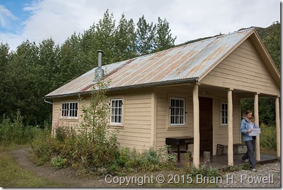
In the afternoon, we hiked to the cabin of Fannie Quigley, a woman and local legend who lived in Kantishna from 1906 (before the park) until her death in 1944.

_DSC1528

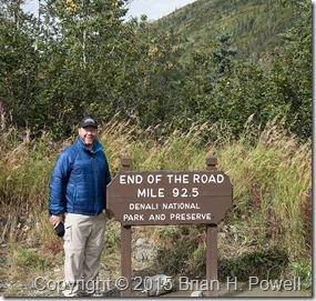
We also hiked a couple hundred extra yards to get to the official end of the road at the air strip.  Here’s proof…

_DSC1530

Next up, a long day of travel from Kantishna back to Anchorage.  More to come.

The High Uintas

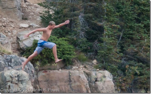
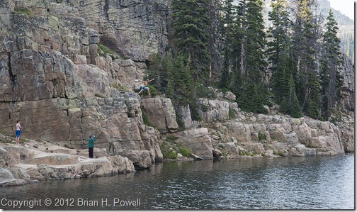
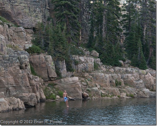
I’m in Utah this week, and was able to get up into the mountains mid-afternoon on Friday. At the recommendation of a friend, I drove up the Mirror Lake Highway east of Kamas. I took a short hike to Wall Lake. Along one side of the lake is a rock wall, hence the name of the lake. There were some kids climbing that wall, which could only lead to one thing… jumping off:

_DSC0860 cropped

(Click on any photo to enlarge.)


Here’s the rest of that photo to give you a sense of scale:

_DSC0860 wider


And just before landing in the cold water:

_DSC0864 cropped

That it’s for now; I’ve got plenty more exploring to do.