Hiking in the Dolomites, Part 4
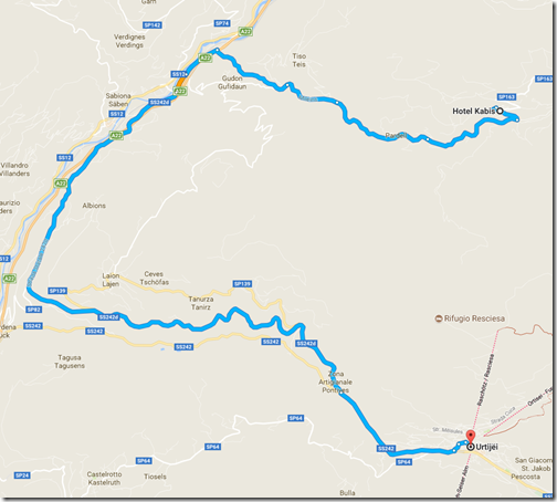
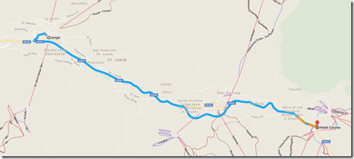
The next day—June 29 if you’re keeping score—we took a taxi down to the ski village of Ortisei. We spent a little time walking around the town and enjoying time at a cafe near the Hotel Adler before taking a funicular up into the mountains.
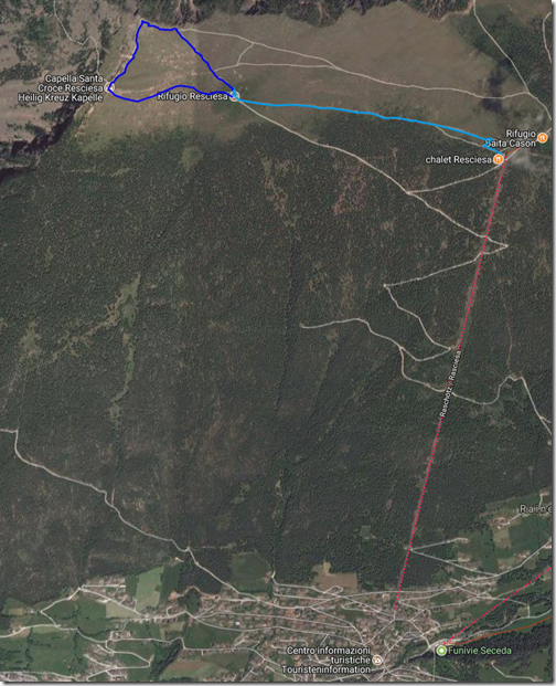
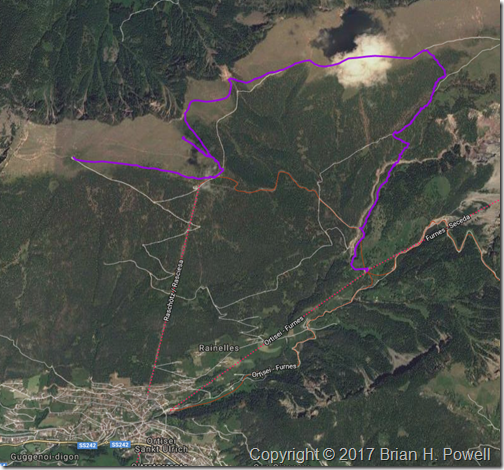
From the top of the funicular, it’s about a mile traverse (light blue route below) over to Rifugio Resciesa, where we’d stay for the evening. Unfortunately, I fell ill with intestinal pain that afternoon, so once I got to the hut, I just rested. As I look for a silver lining to being sick, the afternoon views were hampered by a whole lot of clouds. My body chose a good time to demand rest.
The Resciesa hut is one of many different mountain huts scattered all over the Alps. It’s a combination bar/restaurant and guest house. The Resciesa hut is one of the smaller huts, with room for about 40 people. We had a room of bunk beds for all eight of us. Some rooms are larger; some smaller. There were two showers and two bathrooms shared for everyone at the hut. I was pretty pleased with the experience, and people who had been at other Alpine huts agreed that this was among the nicer ones.
The next morning, the weather and my health had both improved. I decided to hike the approximately one-mile loop from the hut, to the peak, and then over to a small chapel. (This is the darker blue route on the map above.) The temperatures were in the 50’s and windy. I’d typically wear three to five layers of clothes to maintain comfort.
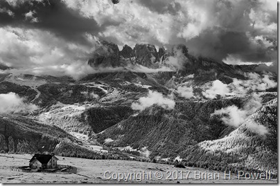
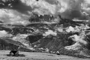
On my way up, I took this infrared photo of the Resciesa hut in the lower left, with the Langkofel Group of mountains in the distance. There are still plenty of clouds around, but at least we could see for miles around.
Click any image to enlarge.
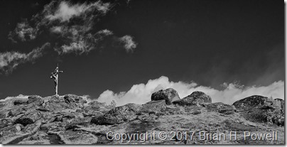
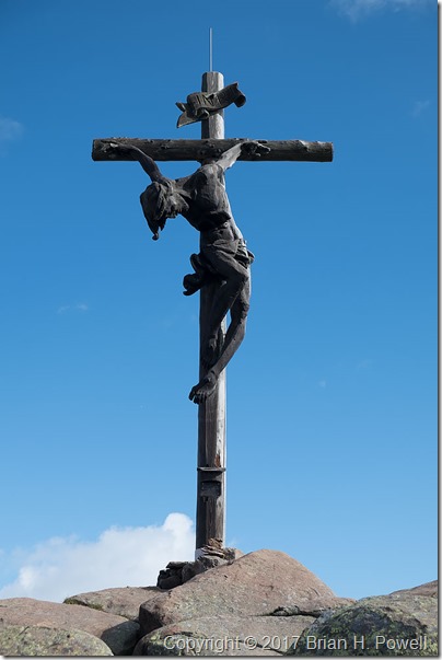
It’s pretty common for hikable mountains in this area to have wooden crosses at their summits. Here’s an infrared view of the cross above the Resciesa hut.
And a closer look from my regular camera:
I turned around the other way, and took this panorama. The Resciesa hut is on the far left of the photo, and the chapel is to the right of the sign near the middle.
In the late morning, we left the hut and started a traverse eastward. The plan was to get a better perspective on the Geislergruppe, also to our east. We would then take a trail down to the middle station of aerial gondolas ascending up to the Seceda ski area. We could then take the gondola down to Ortisei, where we left the day before.
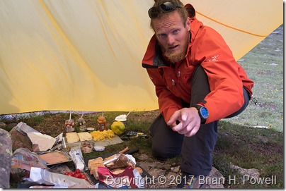
A typical lunch for us was a lunch sack prepared by our guide containing snacks and an always-excellent sandwich prepared that morning from local cheeses, meats, and vegetables. On this day, it was more of a “build-your-own” affair. Here’s a photo of our guide, Hayden, with the lunch preparations spread out under his tarp.
We had lunch near one of the peaks above the funicular station. We spent quite a bit of time there making time lapse videos. Here’s an infrared time lapse of the Geislergruppe, to our east.
I would love to tell you that the rest of our day was uneventful. But it was not to be.
The weather turned again. Soon after we left our lunch spot, it looked like we might have a brief shower. We put our rain covers over our packs, and donned our rain jackets. Most of us had rain pants with us, but none of us felt like it was going to be necessary to put them on. We were wrong.
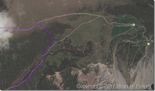
The sleet started first. Some called it hail. The temperatures dropped to around 40 degrees Fahrenheit. Then rain mixed in. And then thunder. If it weren’t for the thunder, we might have stopped to put on our rain pants. On the map below, our travel route enters from the upper left, and we headed due east. We were originally aiming for the intersection of trails just right of center. With the rain, we debated going on to the Rifugio Malga Brogles a bit further on the trail to wait out the rain and sleet. But it was the thunder that convinced us that it was time to exit the mountain as quickly as possible.
We went off trail, heading down an embankment to take us down below tree line to pick up the return trail. It was steep and slippery, but it was the fastest way out of danger from possible lightning. Once we got to the return trail, the hike finally met its promise of being uneventful, except for the part about being soaked. The thunder stopped; the rain abated. The temperatures rose as we descended.
We made it to the cable car and descended to Ortisei to catch the bus to continue our journey. We stayed overnight that night in Selva (known in German as Wolkenstein).
Coming up, a visit to Lago di Dobbiaco, and on to the highlight of the trip, Tres Cime.
