Skip to content

Posts tagged ‘Infrared’

Portland Wine and Waterfalls, Part 2 (Tillamook and Portland)

Only one day of my trip was devoted to wine. On the other days, sprinkled in among lunches and dinners with friends, I explored. I revisited several waterfalls in the Columbia River Gorge, which I’ll cover in Part 3.

One afternoon, I drove out to Tillamook, near the Pacific coast. I had been through there years ago, but hadn’t stopped.

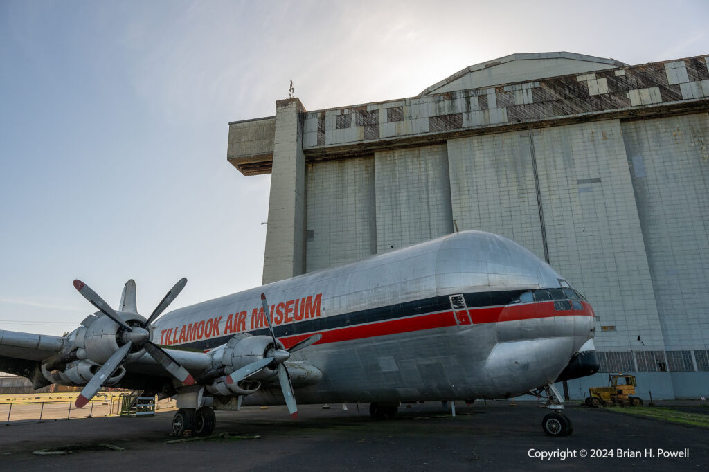
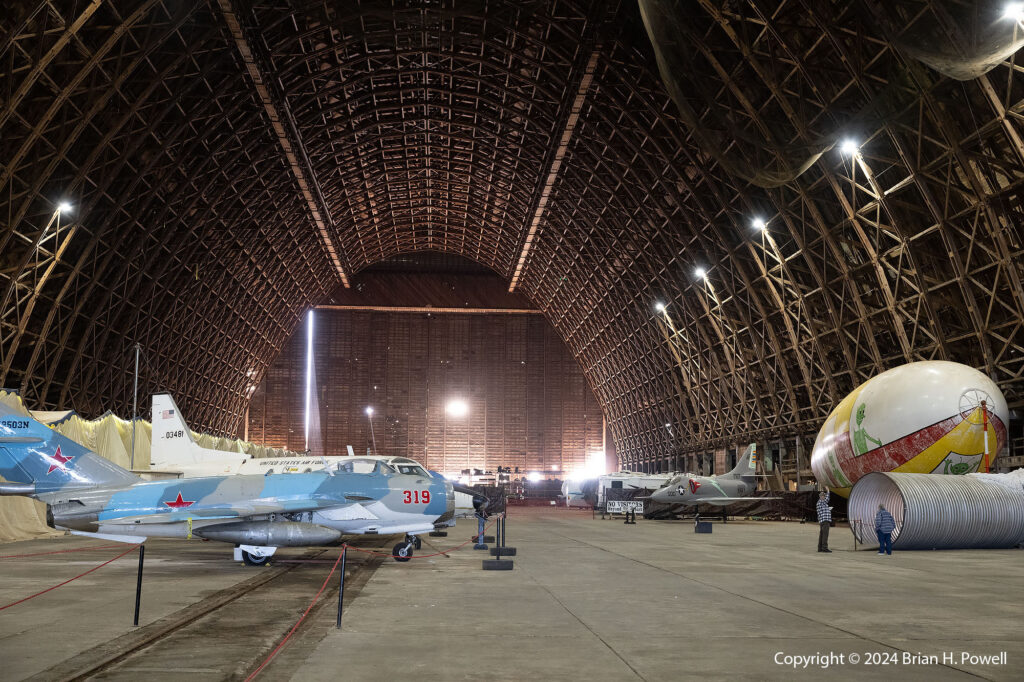
There were two attractions I was most interested in visiting. First was the Tillamook Air Museum, housed in a large WWII-era blimp hanger. Its collection of planes and other memorabilia is somewhat limited and quite eclectic. I hope on my next visit to Portland that I’ll also be able to visit the Evergreen Aviation and Space Museum in McMinnville.

Click on any image to enlarge.

Tillamook Air Museum

For me, the historic hangar was a big part of the draw. Two hangars were built at Tillamook; one was destroyed by fire in 1992. Each hangar housed several blimps used for coastal anti-submarine patrol and convoy escort during the second world war. The Tillamook Naval Air Station (NAS) was one of ten bases built for lighter-than-air ships in the war for coastal defense. Two more on the west coast are Moffett Field in Sunnyvale, California, and NAS Santa Ana in Tustin, California. Two were on the Gulf Coast, near Galveston and Houma. The rest were on the Atlantic Coast. Most have been destroyed through the years. The hangar in Tillamook is the only one open to the public.

Tillamook Air Museum

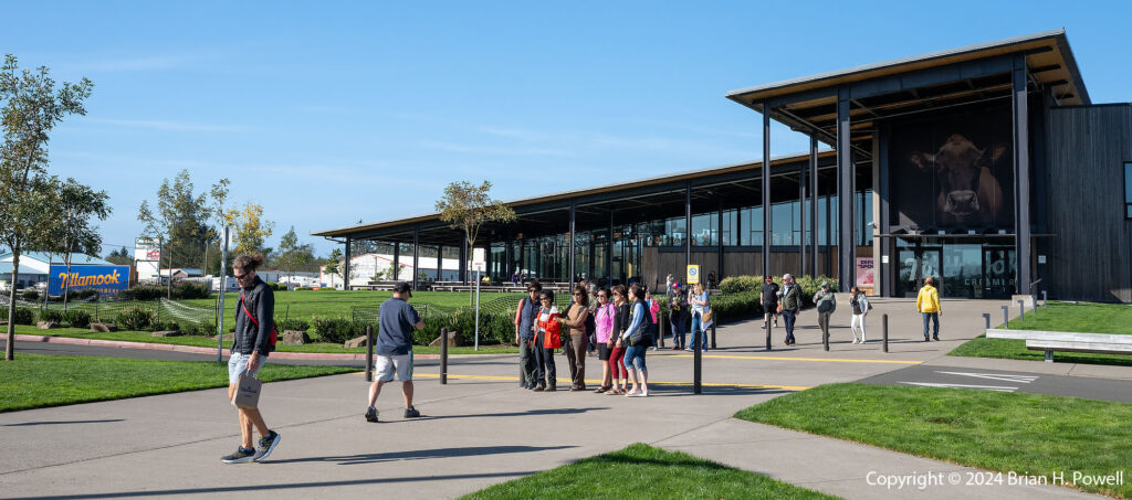
After visiting the air museum, I had time to drive into town and visit the Tillamook Creamery.

Tillamook Creamery
Tillamook Creamery

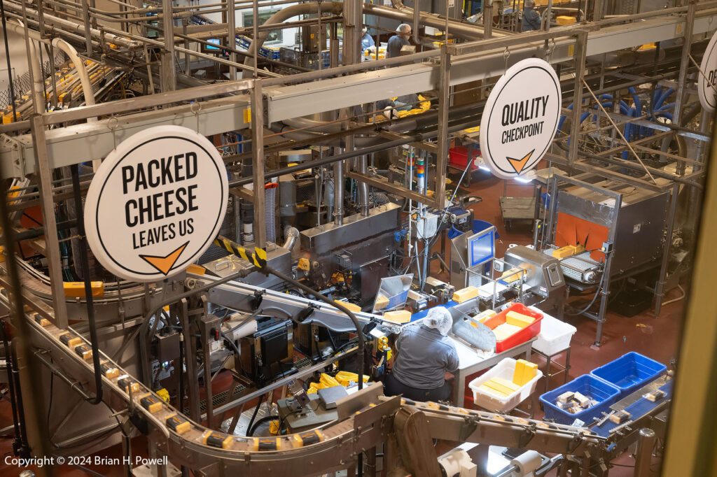
The cheese and ice cream were delicious, and I took a short self-guided tour.

Tillamook Creamery Cheese Production

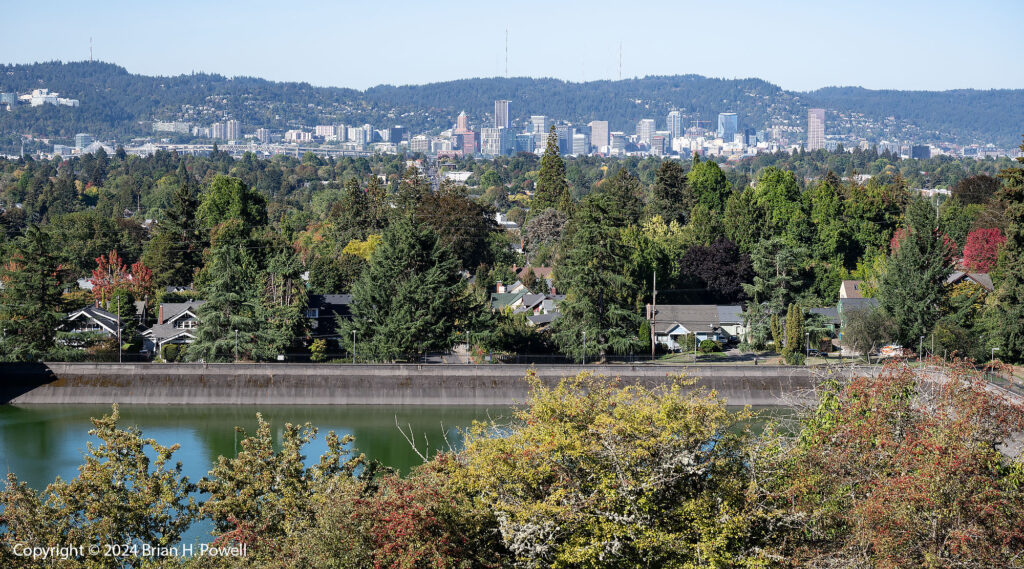
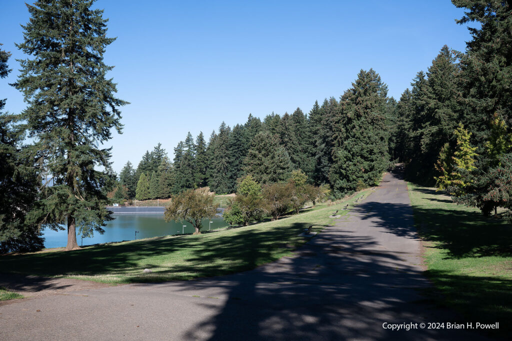
On another morning, I visited Mt. Tabor Park, a city park. On the site of a volcanic cinder cone, it contains several city water reservoirs, with miles of hiking trails throughout.

View of Portland downtown from Mt. Tabor

The paved road in the photo below is actually a soapbox derby track.

Mt. Tabor Park
Mt. Tabor Park

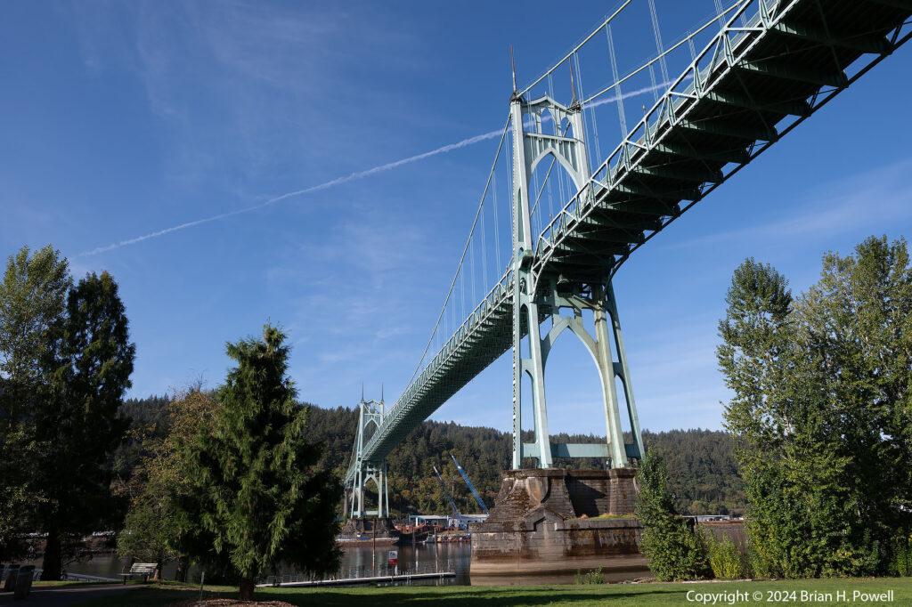
On a different morning, I visited the St. John’s Bridge, one of the more picturesque tall bridges over the Willamette River.

St. John's Bridge
St. John’s Bridge

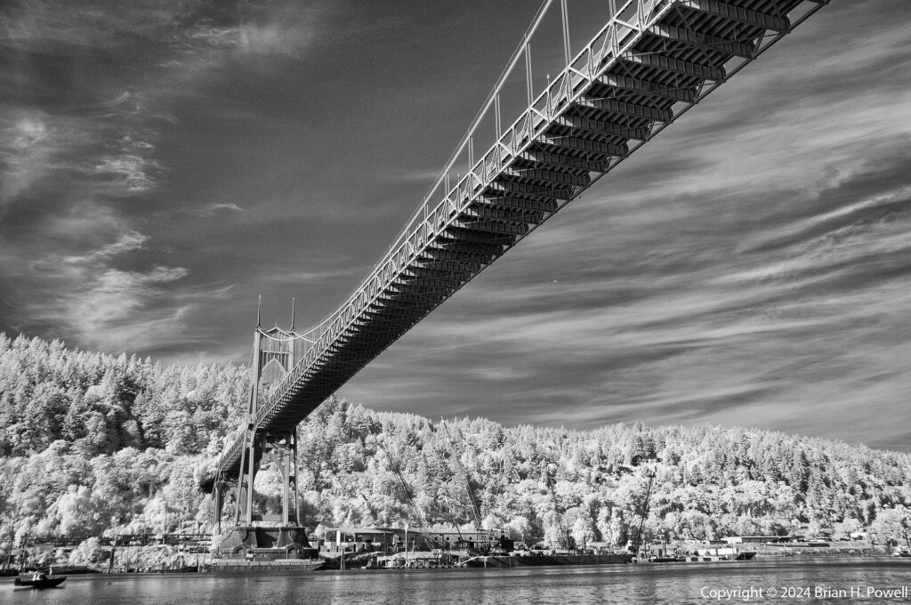
As I often do, I brought my infrared camera, a Nikon D300 converted to infrared by Life Pixel. (That’s an affiliate link, meaning I earn a credit at no additional cost to you if you buy something from them.)

Below is a similar view (closer to the water) in infrared.

St. John's Bridge
St. John’s Bridge

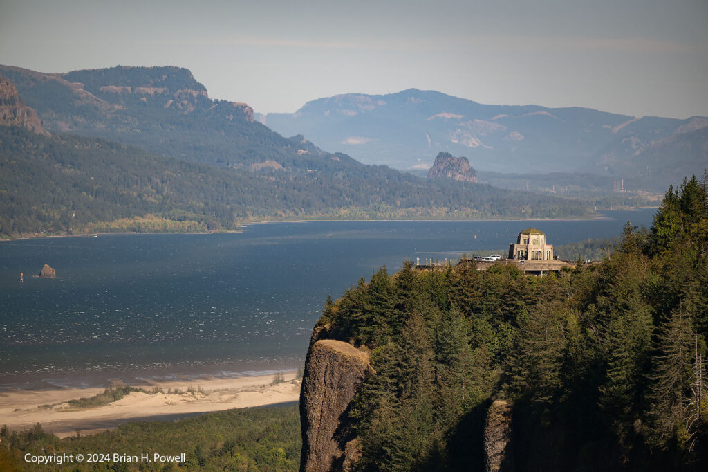
One of the most striking viewpoints of the Columbia Gorge is Vista House, an “observatory” built in 1918 on Crown Point along the Historic Columbia River Gorge Highway. I took the photo below from the Portland Women’s Forum State Scenic Viewpoint.

I tried to stop at Vista House itself but it was incredibly windy, so I just got back into the car and drove on. (Those are whitecaps on the Columbia River in the photo below.)

Vista House at Crown Point, overlooking the Columbia River Gorge

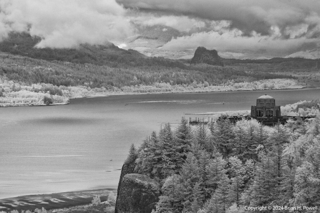
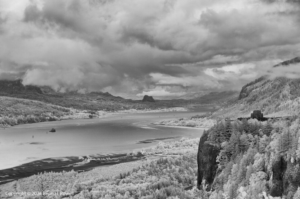
For most of the trip, the weather was gorgeous–sunny and mild. The only cloudy and rainy day was Friday, the last full day of my trip. I tried dodging the rain by driving east and south of Mt. Hood, but that didn’t work. I came back around to take some infrared photos of Vista House.

I love using my infrared camera in poor weather; it can really bring out the moody intensity of the clouds. (Click on the Infrared tag on the upper right for more examples.)

Vista House at Crown Point, overlooking the Columbia River Gorge

The rain cleared after a couple of hours and I visited several waterfalls in the gorge, coming up in part 3.

Valles Caldera

A couple of weeks ago, I spent a week in New Mexico.  I flew by way of Dallas.  Thanks to the pandemic, it was my first time on a plane in over a year. The flights were terrible—two were delayed, the flight from DFW to ABQ was diverted to El Paso for the night, and the final return leg to Austin was cancelled entirely.  I don’t think that everything in the airline industry is ready for our return.
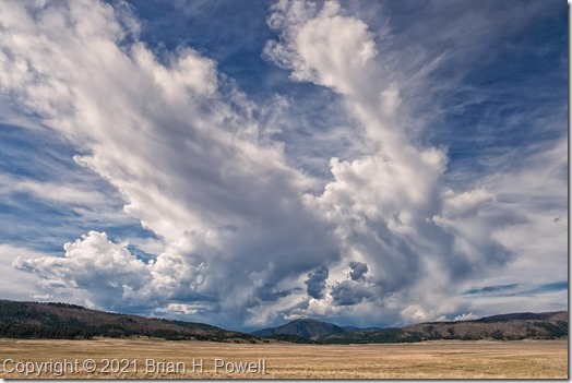
I’ve been to New Mexico many times in the past.  In winter, I’m usually visiting the Bosque del Apache National Wildlife Refuge, but I love summertime, too, for hiking, for opera, for shopping, for food.  I still have several places in New Mexico I’ve wanted to visit and photograph.  One of them is the Valles Caldera.

(Click on any image to enlarge.)

Read more

A Final Night and Morning in the Grand Tetons

I got up early on Friday to drive the three hours from Canyon Village in Yellowstone, through West Yellowstone, and then down to Idaho Falls.  Why?  Because of some upcoming international travel, I needed a Yellow Fever immunization.  Due to timing, and a nationwide shortage of said vaccines, it was most convenient for me to make an appointment with Eastern Idaho Public Health.

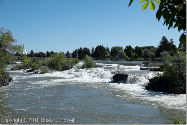
I arrived early (as planned, just in case), so I went down to see the eponymous falls.  A Mormon Temple is in the background on the left.

Click any image to enlarge.

_DSF5238

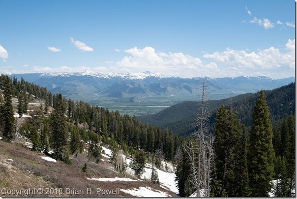
After my immunization, I had lunch, and headed eastward to go over Teton Pass.  From the top, you can see a nice view of Jackson Hole.

_DSF5239

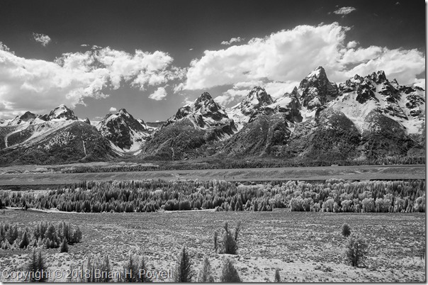
I drove on down to Jackson and got settled into the Jackson Lake Lodge in Grand Teton National Park for my final night.  I did a little infrared photography in the bright afternoon sun, before heading back to Jackson to meet with a couple of friends for one final night.

_DSC6561


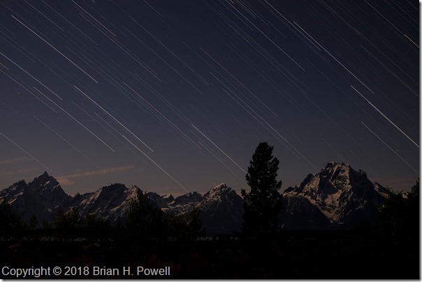
Because of the great location and view from near my hotel room, I set up my camera for star trails.  I did a couple of 35-minute captures from about 11 PM to a little after midnight..  Here’s one of the photos.  The moon was waxing gibbous, and provided plenty of illumination for the snow on the mountains.

merge 2

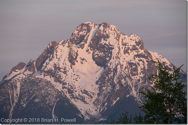
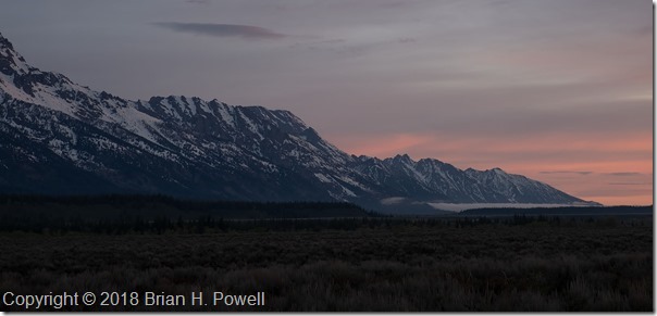
Despite the late night, I rose early in hopes of great color at sunrise.  I got a little bit of pink in the sky, much like earlier in the week.  Here are a couple of photos—one of Mount Moran, and one of Mount St. John.

_DSF5471


_DSF5475

Before I knew it, it was time to leave for the airport and fly home.

The general consensus at the Nature Photography Celebration (organized by The North American Nature Photography Association) is that it was a successful event that we should repeat in new locations in the future.  We heard from great photographers presenting about their latest projects, and we had plenty of free time to go out and photograph great locations on our own.  (And we even had a small trade show with support from many camera manufacturers, camera stores–especially Gary Farber at Hunt’s Photo & Video–and other organizations.)

A big thank you to my friend Charlotte for sharing wine, cheese, and a hyperactive dog in her beautiful home, and for including me in her network of friends, who all made me feel welcome a long way from home.

I am grateful for the beautiful places like the Grand Tetons and Yellowstone, and all the other National Parks and National Monuments we are blessed to protect for future generations.

Yellowstone National Park

On Wednesday, I planned to get up early for sunrise photography, and to start driving up to Yellowstone.  But I woke to rain in Jackson, and slept in another hour.

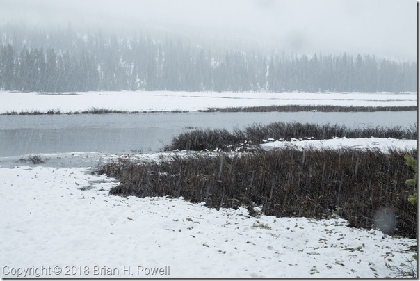
I drove up through Grand Teton National Park and the John D. Rockefeller, Jr. Memorial Parkway and entered Yellowstone National Park at the south entrance.  I continued north, and rain turned into snow.  It was 34 degrees and the roads warm enough to not have trouble with ice.

Click on any image to enlarge.

_DSF4797

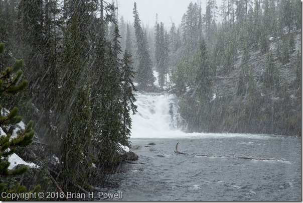
I tried to be a tourist and visit a roadside sight or two.  Here’s Lewis Falls, with me standing on snow, watching the snow fall.  Did I mention it was 34 degrees?

_DSF4800


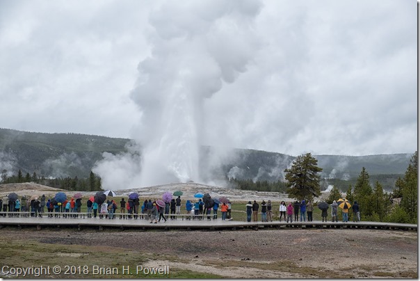
Soon, I decided it was best to just keep driving on to Old Faithful.  By the time I got there, the snow had subsided, and there was just a little bit of rain.  I arrived a few minutes before the famous geyser erupted.  Not the photo I imagined with a brilliantly colorful sky in the background, but this is more of a snapshot anyway.  In the peak of summer (and in better weather), you would see thousands more people surrounding Old Faithful.

_DSF4814

Peak season begins Memorial Day weekend, and I was there just before that.  So it was beginning to get crowded, but nothing like the park sees later on.  Being a week or two before the busy season begins also means that not every road (or campground or lodge) is open—but it’s still a great time to visit.  The creeks, rivers, and waterfalls were really flowing.

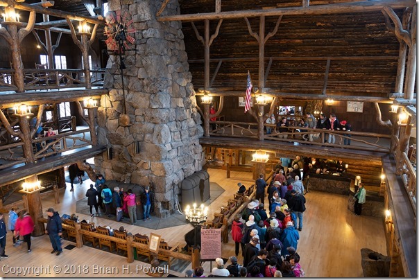
Here’s the inside of the historic Old Faithful Inn, with people waiting to enter the dining room.  Some consider the inn the largest log building in the world.

_DSF4807

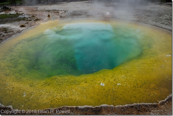
I walked around for awhile in the rain in the Upper Geyser Basin in the Old Faithful area.  It was nice to get out and walk around.  Here’s one of the pools in the area:  Morning Glory Pool.  Pro tip:  bring your polarizing filter to cut down on reflections in the water.  I left mine at home.

_DSF4846

My destination for the night was Canyon Lodge, so I kept on driving north (no more falling snow!), past the other other geyser basins.  Here’s an overlook showing the Norris Geyser Basin in the distance.

Read more

More Time in the Grand Tetons

I’m back in Austin now.  I chose not to keep up with the blog as I went.  A combination of 16+ hours of light for photography each day, lots of travel time, time with friends, and a little bit of allergies all conspired to help me choose sleep instead of half-hearted writing into the night.  But I’m back, and have four more blog posts in the works after this one.

Sunrise each morning was about 5:50 AM, so I’d get up every morning about 5:00 and head out to see what the sunrise would bring.  We never had any truly spectacular colors in the morning, but it was still beautiful to be in this amazing place to see how the sun would first light the mountains.

Click on any image to enlarge.

_DSF4263

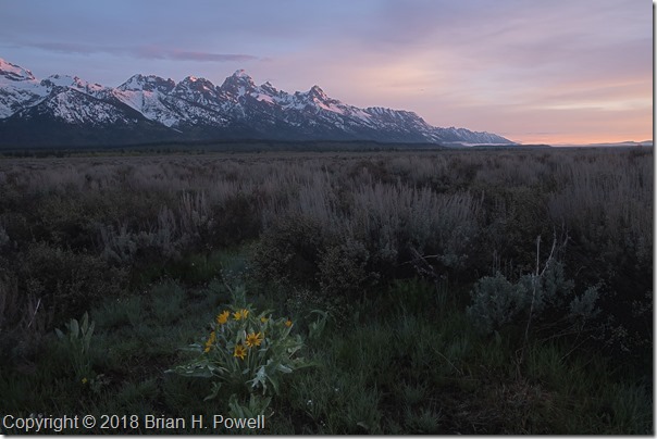
Balsam Root, the yellow flower in the foreground of the photo below, was blooming in many places in the valley.

_DSF4272

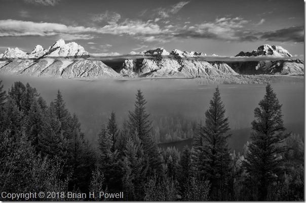
Some mornings would start with fog in low-lying areas.  Clouds in the mountains were constantly changing.  This infrared photo is from the same day as those in my earlier blog post about the Snake River Overlook.  It was taken about fifteen or twenty minutes before the images I posted last week.

_DSC6548


I dropped by another couple of famous places for photography.

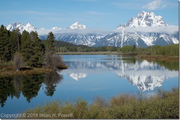
Oxbow Bend, below Jackson Lake on the Snake River often has still water in the mornings, great for reflections of Mount Moran, and to its left, the mountain known, at least for now, as Mount Woodring.  (And further left are Mount St. John and Rockchuck Peak.)

_DSF4250


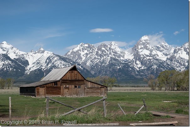
Mormon Row is a section of Grand Teton National Park that I suspect most people don’t visit, but is famous among photographers.  A group of Mormons from Idaho homesteaded here beginning in the late 1800’s, and lived here through the mid-1900’s before being sold to the National Park Service.

Perhaps most famous is the Thomas Alma Moulton barn, shown below.

_DSF4714


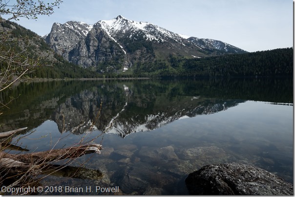
I didn’t do much hiking this trip, but I did take an easy five-mile hike on Tuesday up to Phelps Lake.  This is where I saw the moose in my earlier blog post about Grand Teton Wildlife.

_DSF4764


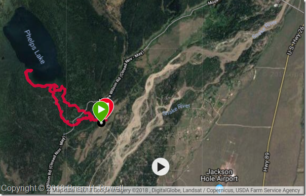
Here’s the GPS track for the hike.  It’s part of the Laurance S. Rockefeller Preserve in the southernmost section of Grand Teton National Park.  This section was donated by Laurance S. Rockefeller to the National Park Service in 2001.

phelpslake

Snake River Overlook

Pro Tip:  If you’re going to use your iPad for your alarm clock, confirm that it’s set to the right timezone, so that you don’t accidentally wake up at 4 AM when you were planning for 5 AM.

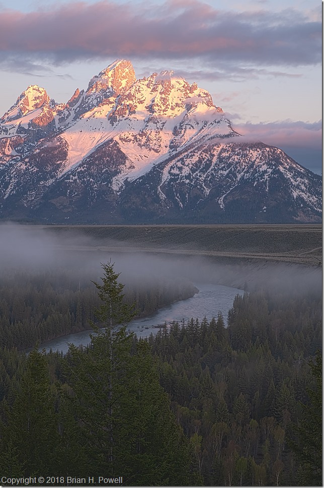
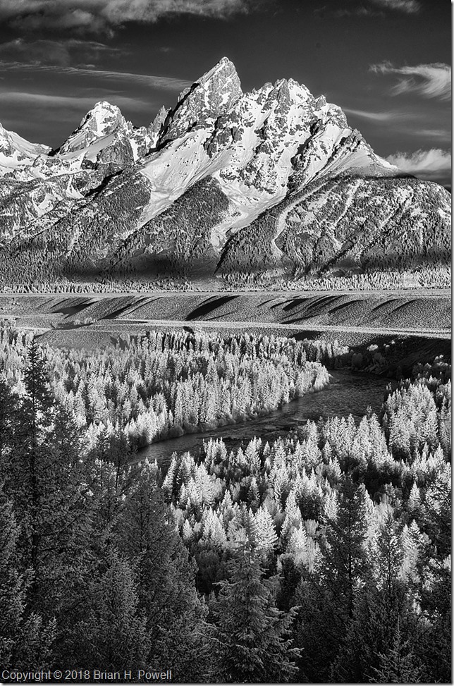
This morning’s forecast was for mostly clear skies, so I woke up early and headed into the park.  I decided to start at the Snake River Overlook, made famous by Ansel Adams in his 1942 photo, The Tetons and the Snake River.  The view’s not quite the same, because the trees have grown so much taller in the last 76 years.

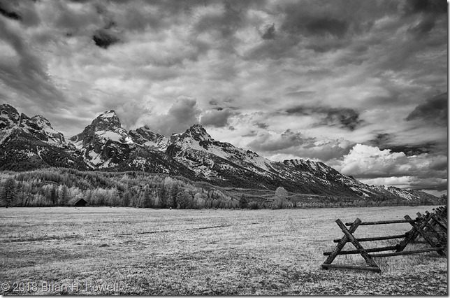
I spent about an hour there, before and after sunrise, shooting a variety of compositions.  Here are a couple of similar photos that I liked, one visible light, one infrared.  The first is closer to sunrise, with the fog still lifting off the river.  The infrared image is from a bit later, after the sun started to illuminate the foreground.  Which one do you like better?

_DSF4149

_DSC6549

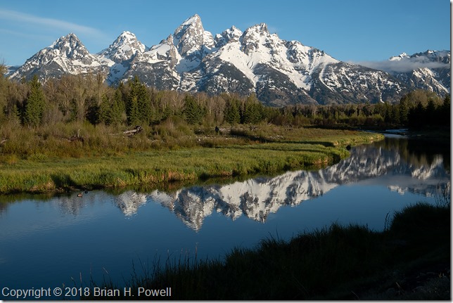
After I left the overlook, I headed down to Schwabacher’s Landing to take advantage of the reflections in the relatively still water.

_DSF4210

I saw elk and geese today, and hoping I see more wildlife tomorrow.

Grand Teton National Park

I flew to Jackson, Wyoming, today.  I’m here, in part, for a North American Nature Photography Association Nature Photography Celebration.

Today’s forecast called for an 80% chance of rain, but that can lead to some nice dramatic photos.  I headed north into the Grand Teton National Park, stopping at the Moose Junction Visitor Center to find out about trail conditions during this early part of the season.  I continued driving north, to get my bearings.  It’s been over twenty years since I was last here.

The weather held out just fine.  It was mostly cloudy, with intermittent rain showers that never lasted more than a few minutes.  I think the weather will improve somewhat during my stay.

Here are a few images to give you a taste of what it was like today.  Click on any of them to enlarge.

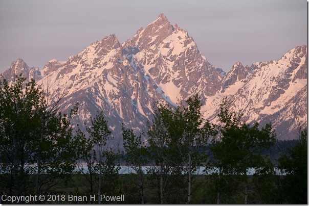
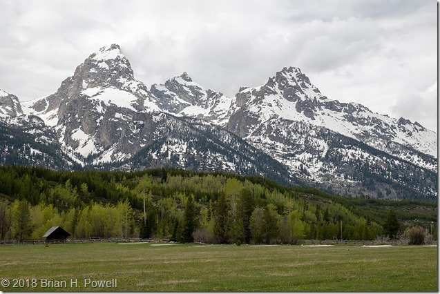
Grand Teton, Mount Owen, and Teewinot Mountain:

_DSF4119

_DSC6536-Edit

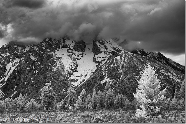
Mount Moran, in the clouds:

_DSC6540-Edit

The first image was taken with a Fujifilm X-T2, with a Fujifilm 18-55 lens.

The second and third images were taken with a Nikon D300 and Nikkor 18-200 lens.  Camera converted to infrared by LifePixel.

More coming up later this week.

Hiking in the Dolomites, Part 7

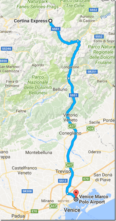
Okay, time for the home stretch.  We spent the night in the ski village of Cortina d’Ampezzo, host of the 1956 Winter Olympics.  We began to disperse back to our regular lives.  James and Marina left soon after we got to Cortina.  In the morning, we bade farewell to Jake and his family.  The remaining five of us, Kerrick, Julie, Mark, Jennifer, and I caught the morning bus to Venice.

ToVenice

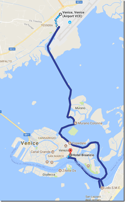
From there, we left Mark at the airport, and Jen and I took the Alilaguna Water Transport to the city.  This took about 90 minutes.  Pro tip:  We could have, like Kerrick and Julie, taken the bus to the train station, taken a shorter trip on the water, and saved about an hour.

ToBisanzio

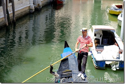
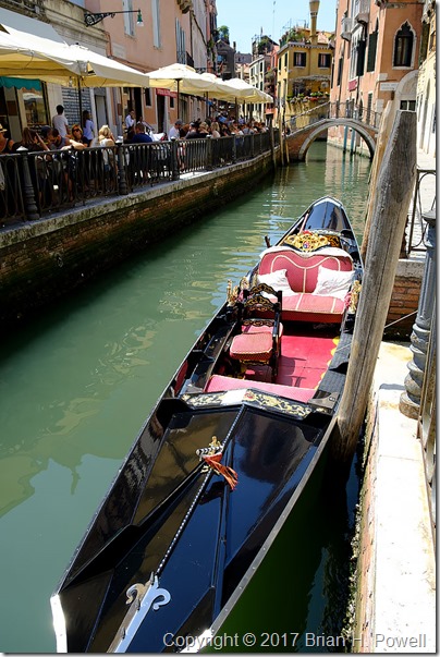
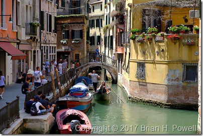
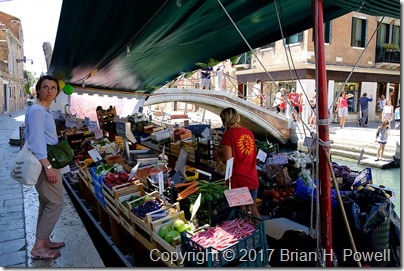
In Venice, I shifted gears to street photography instead of grand landscapes.  I had been told that Venice is a maze, and that’s an apt description.

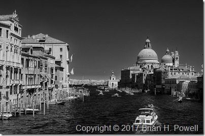
Here’s an infrared shot from the Pont dell’Accademia, reached after crossing a bridge we probably shouldn’t have, and then making many, many wrong turns trying to find our way back to our hotel.  So many paths dead end at the water, and you have to backtrack and try another path.

(Click any image to enlarge.)

_DSC6490

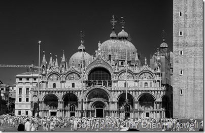
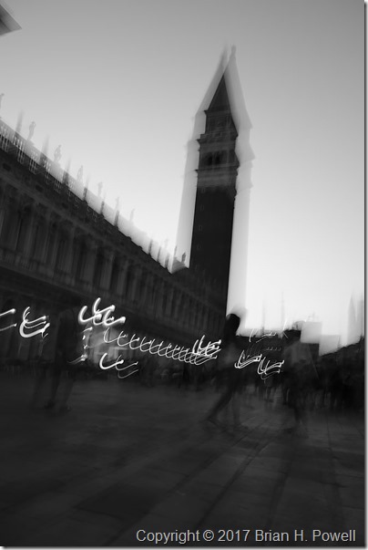
Once over the bridge, we walked a bit further and passed through the famed Piazza San Marco.  Here’s an infrared photo of Basilica di San Marco.

_DSC6496

After arriving again at the hotel, I attempted one of the greatest challenges of the trip:  how to send a postcard back to the US.  Italian Post Offices close early afternoon, so it was too late for that.  To buy stamps at other times, you have to find a tobacco shop.  That’s not hard.  The hard part is having them sell you the right kind of stamp.  (If anyone needs a stamp that’s only good for mail to the rest of Europe, let me know.)  I asked at the hotel, and it took a good 15 minutes looking things up on their computer for them to come to the conclusion that the stamp I was sold was indeed not the stamp I needed.  They then sent me to find a street vendor, many of whom sell postcards, as well as private mail stamps.  So I bought one of those stamps—and oh, by the way, you can only send your postcard by way of their mailbox.  I’ll let you know in a few weeks if my mother got her postcard.

That evening, Jen and I met up for one final dinner with Kerrick and Julie.  It was a great ending to a great trip.  The next morning, we all began our trips home.

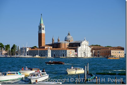
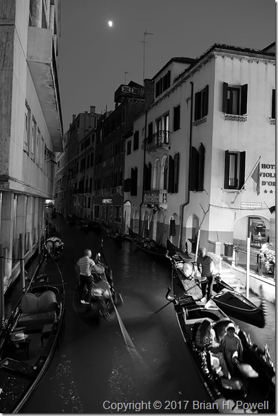
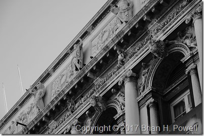
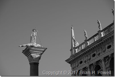
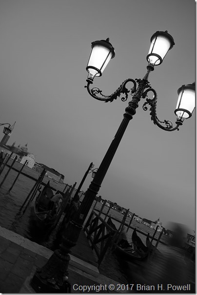
Here’s a collection of some of my snapshots from Venice.  Thanks for reading.  I’ll have one more post after this where I talk about my photo gear.  Stay tuned.

_DSF2005

_DSF1968

_DSF1962

_DSF1963

_DSF1987

_DSF1984

_DSF1988

_DSF1993

_DSF2004

_DSF2064

_DSF2011

_DSF2017

_DSF2049

_DSF2048

Hiking in the Dolomites, Part 6

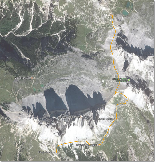
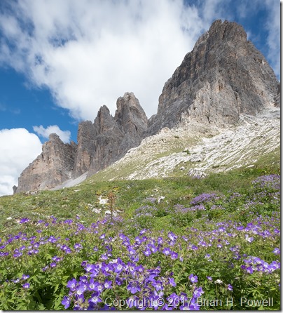
The Tre Cime de Lavaredo are the three mountain peaks that are the highlight of the Tre Cime Natural Park.  (In German, they are called Drei Zinnen.)  From the end of the road at Rifugio Auronzo, we began our three mile hike around Tre Cime to Rifugio Locatelli.  The hike took us up to 8000 feet, to a saddle between Tre Cime and the nearby Monte Paterno (Paternkofel), where we had lunch.  The trail descended from the pass back down a few hundred feet, before ascending again to Locatelli, back at 8000 feet elevation.  Temperatures were in the 50’s, and it was somewhat windy.

TreCimeHike

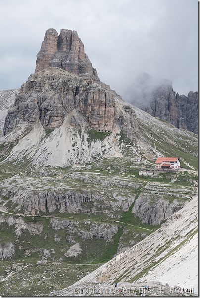
Shown below, the Locatelli hut, with the Torre di Toblin behind it.

(Click any image to enlarge.)

_DSF1594

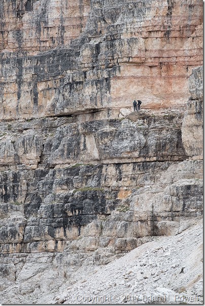
On the side of the Monte Paterno, we saw some climbers on a Via Ferrata (Italian for “Iron Road”).  These are hiking and climbing routes that have a cable, fixed to the rock every few meters.  You wear a harness with two carabiners.  As you reach one of the iron stays in the rock, you unclip one carabiner and reattach it to the cable on the other side of the stay, then follow with the other carabiner.  Thus, you are always attached to the cable.

Many of the Via Ferrata in the Dolomites are left from World War I.  The Dolomites were a major battleground in the war between Austria-Hungary and Italy.

In the photo below, you see a couple of people on a fairly flat, easy section of Via Ferrata on Monte Paterno.

_DSF1602

We continued on to the Locatelli hut.  This is a much larger hut than the Resciesa hut we stayed in earlier—I’d guess they have room for over 100 people.  But note that they only have one shower, and it costs €5 to use it for six minutes.  (None of our group bothered with a shower that night.)

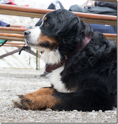
Many dayhikers come for lunch or dinner in the cafe.  Along with a lot of people, we saw a few dogs of all sizes on the trail.  Here’s a photo of a beautiful Bernese Mountain Dog.

_DSF1613

That night, the barometric pressure began to rise, and we set our alarms in hopes of clear skies for night photography.  We got started a little bit late, so this turned into a bit of night photography combined with pre-dawn photography.  Here’s a time-lapse sequence showing the transition from night to twilight.

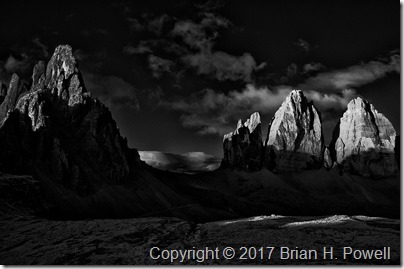
We returned to bed for an hour of sleep before heading out for sunrise.  Here’s one of my favorite infrared images of the dawn light hitting Monte Paterno and the Tre Cime.

_DSC6473

We returned again to bed for another hour of sleep before breakfast, and then began our hike back to Rifugio Auronzo, where we waited for our taxi that would take us to Cortina.

_DSF1803

Up next, Cortina and Venice.

Hiking in the Dolomites, Part 5

(This is my 100th post on this blog.  Thank you all for reading.)

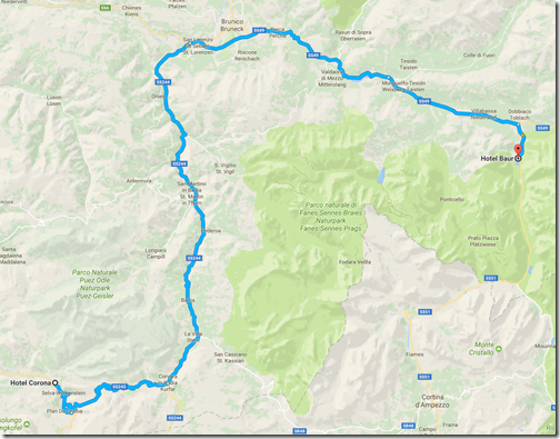
The morning of July 1, we left Selva/Wolkenstein for Lago di Dobbiaco.  I kind of think of this as a rest day between our weather-challenged hike from yesterday, and the 8000-foot-elevation hiking of tomorrow.  We also swapped out our guides–trading Hayden for Jake, who would be with us until the official end of the trip.  Both guides provided by AlpineHikers were excellent.

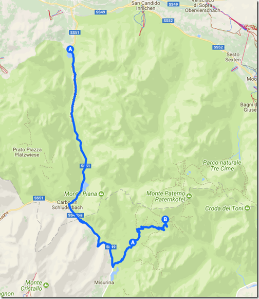
As we drove over to Dobbiaco, we saw many bicyclists preparing for the following day’s Maratona dles Dolomites, an 85-mile bike race with nearly 14,000 feet of elevation gain.  (The winner averaged 18.6 mph.)  Nearly 30,000 cyclists apply each year for one of the 9,000 starting positions.

ToDobbiaco

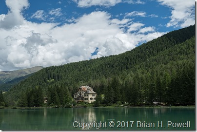
We checked into the116-year-old Hotel Baur, which sits right on the lake.

_DSF1455

(Click on any image to enlarge.)

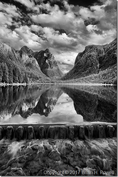
We walked around the lake, then I settled on a view facing south for most of my images.  We played around with reflections, and slow shutter speeds as the water flowed over a dam at the north end of the lake.  Here’s an infrared photo from late in the day.

_DSC6433

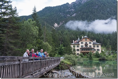
Here’s a group shot of all of us on a bridge near the hotel.

_DSF1516

The next morning, we drove into the Tre Cime Natural Park and began our hike to Rifugio Locatelli.  Stay tuned for more.

ToTresCime